
On-Prem Maps & Data
Whether hosting on a secure private cloud or embedding directly into edge devices and vehicles, deliver high quality spatial data completely under your control.
Available on:


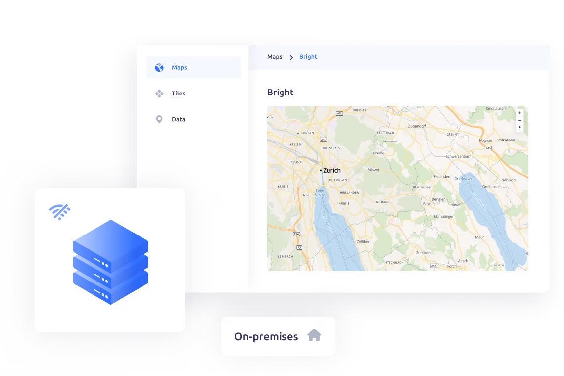





Achieve data sovereignty and independence
Secure maps behind your firewall
Serve maps securely from your server or laptop, behind firewalls or on an intranet.

High-performance map tile delivery
Maps appear instantly thanks to pregenerated map tiles.

Complete control of global datasets
Power your maps with our data, from the entire globe down to street level.
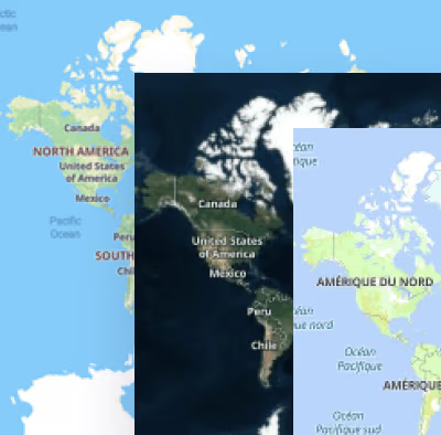
Rasterization for total compatibility
Serve maps as vector or raster tiles for any system including legacy GIS or WMS services.
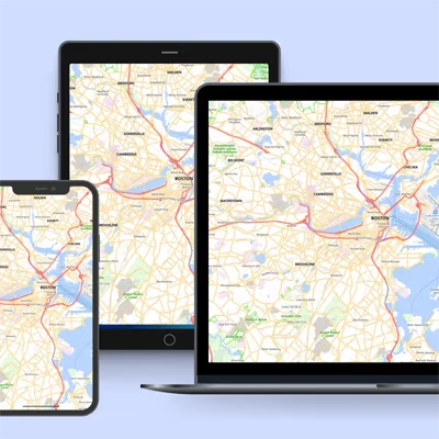
The platform for on-prem maps
Unify your on-prem stack with Server and Engine
Achieve complete data sovereignty and zero vendor lock-in by pairing MapTiler Server with MapTiler Engine. Process geodata of any size at exceptional speeds with Engine, and deploy secure, self-hosted maps on your premises or in an offline environment with Server. Together, they provide an independent platform to process, host, and serve your raster images, vector tiles, and 3D terrain.
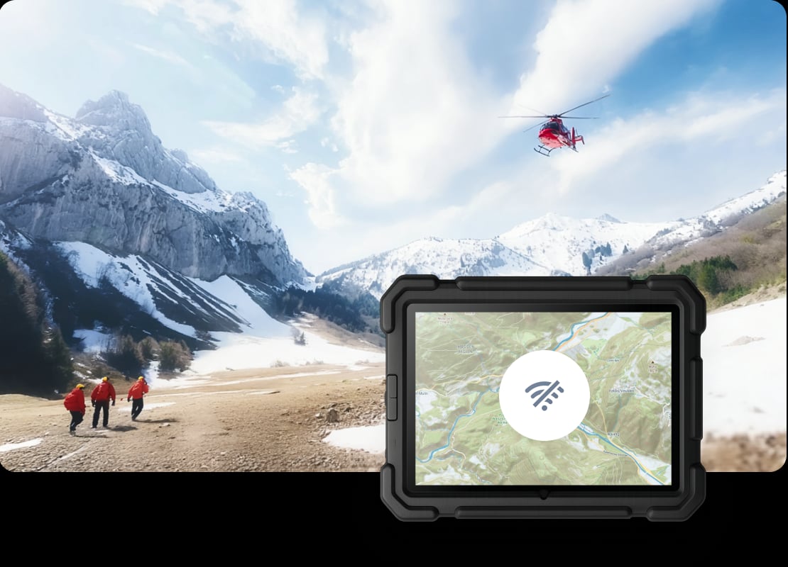
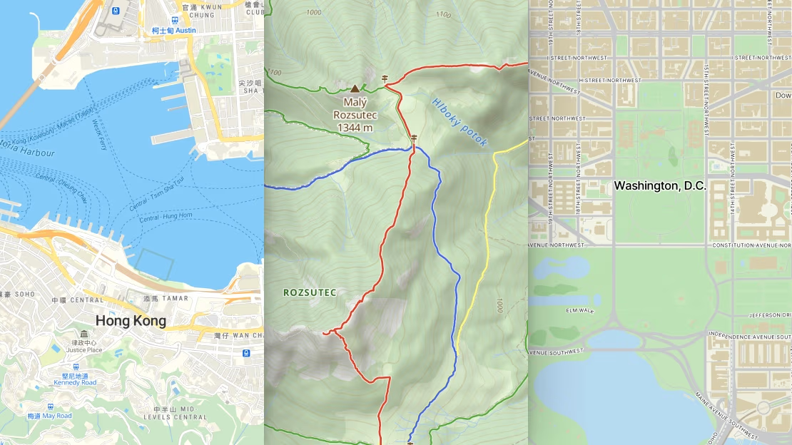
Detailed global street maps
Save time and resources with ready-to-deploy global street maps. No internet dependency, complete data control, and straightforward integration with your existing systems.
Drag and drop the map package of your area, choose a style, and serve it to your web, mobile, or GIS software.
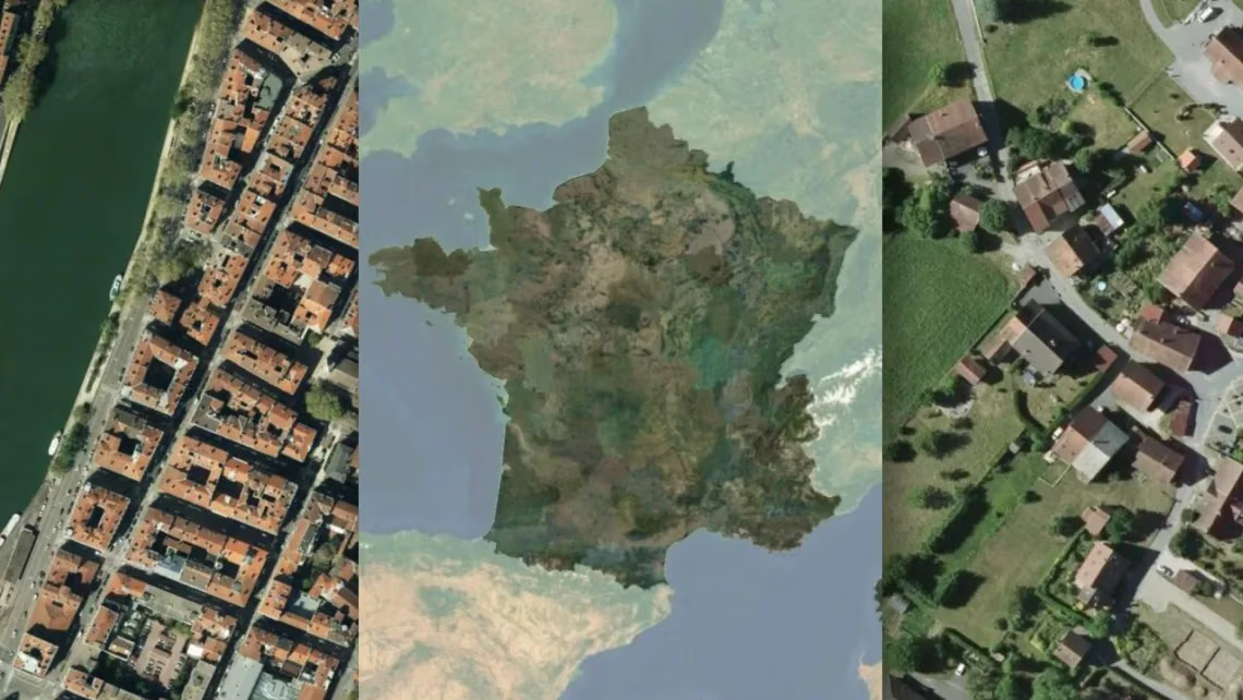
High-res satellite & aerial imagery
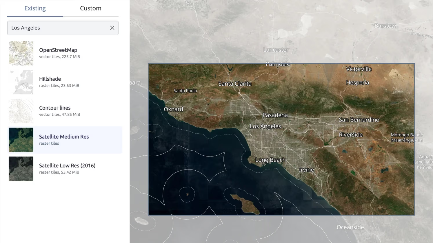
Combine high-resolution aerial imagery of USA, Europe, Japan, Canada, & New Zealand with the latest global satellite imagery - to have a detailed offline aerial map served directly from your laptop or local server.
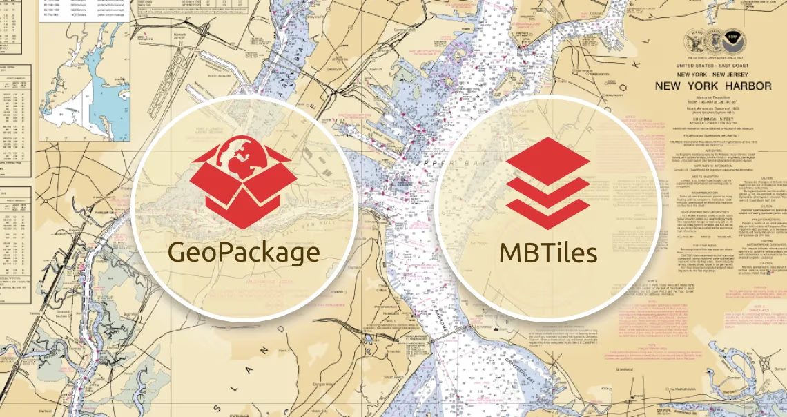
Serve your own data
Convert Shapefiles or raster images for super fast map loading with Engine.
Serve pregenerated map tiles in GeoPackage or MBTiles format.
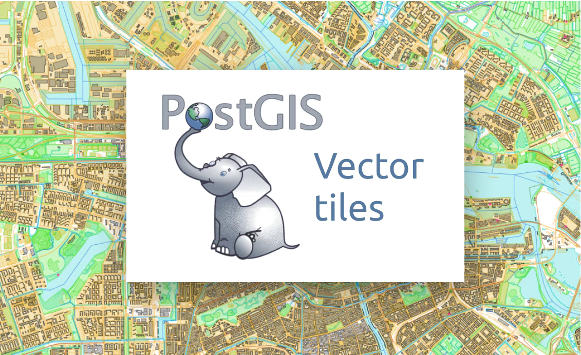
Real-time updated maps from database
Add vector tiles PostGIS layer with the ability to rasterize - and serve WMTS - for real-time updated data in your connected Postgres/PostGIS database.
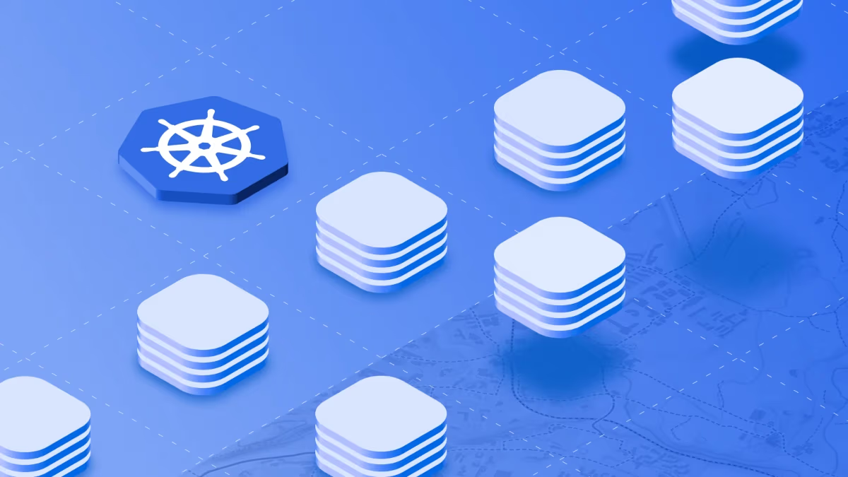
Reduce hyperscaler dependency with Kubernetes
Eliminate downtime and scale without limits. Deploy mission-critical mapping services that automatically optimize and recover, saving IT resources while ensuring reliability even under peak loads.
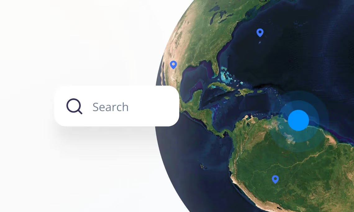
Global search and geocoding
Let users search for places and addresses, or use reverse geocoding in your secure or offline applications. Keep the search in sync with our global datasets.
Self-host Cesium 3D terrain
Create natural-like sceneries by combining 3D terrain data with high-resolution aerial imagery or any other basemap.
Get terrain and imagery compatible with the popular CesiumJS library.
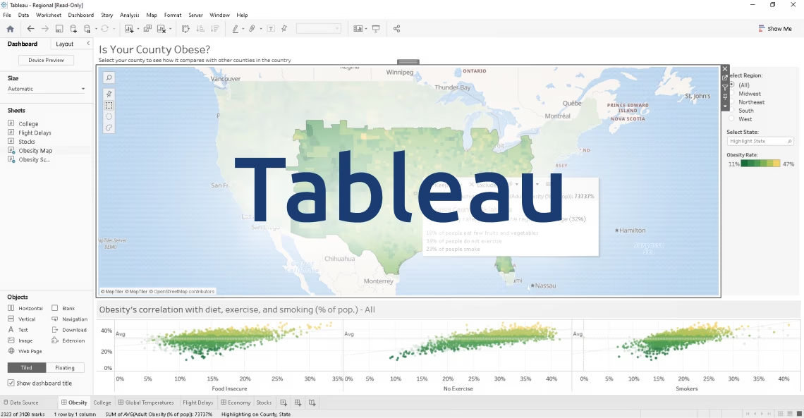
On-premises Tableau basemaps
Get offline background maps with various map styles for Tableau business analytics tool running from your infrastructure.
Perfectly secured maps running on your private cloud without internet connection.
ArcGIS Server alternative
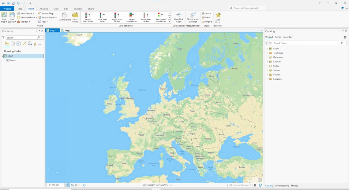
Get map services for your desktop GIS software. Install and set up the whole map stack in a few mouse clicks.
It is compatible with your desktop ArcGIS, QGIS, and other GIS software.
Read latest news about Server
Try Server for free
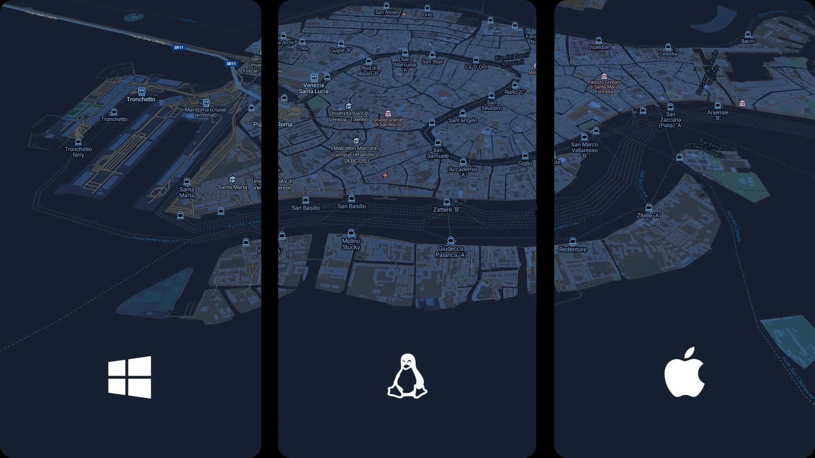
Available for Windows, macOS, Linux, Raspberry Pi, Docker, and Kubernetes.