Turn your geodata into tiled maps
Transform vector, aerial, and raster data into fast-loading, customizable map tiles.
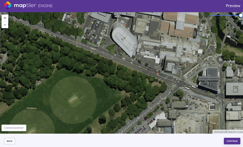
Convert your geodata into high-resolution tiled maps with Engine.
Available on:![]()
![]()
![]()
![]()
Fastest map tiling and optimized output size
Engine is the all-in-one map tiling solution that saves your time and storage. Trusted by businesses, individuals, and developers all around the world.


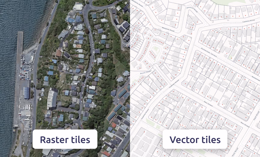
Convert to raster tiles or vector tiles
Engine can read more than a hundred different raster and vector formats including TIFF, PNG, JPEG, JP2, PDF, ECW, DGN, DXF, GeoJSON, SHP, and OSM.
You can easily convert your input data to MBTiles and GeoPackage formats, to a folder with tiles, or to KML.
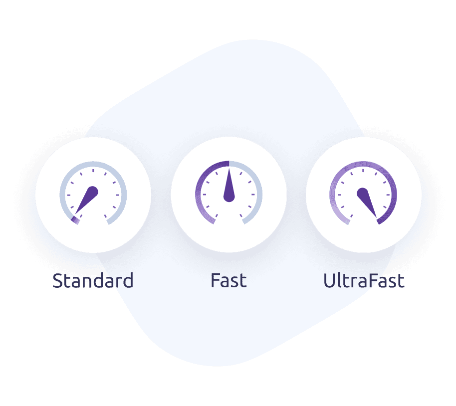
Fastest map tiling algorithm
Engine is ready for projects of any scale. We use it to create our global basemaps serving hundreds of millions of active users a month.
Our latest map tiling algorithm delivers exceptional performance and high processing speed. Try Standard rendering on a Free account or upgrade to Fast or UltraFast rendering to see its full power.
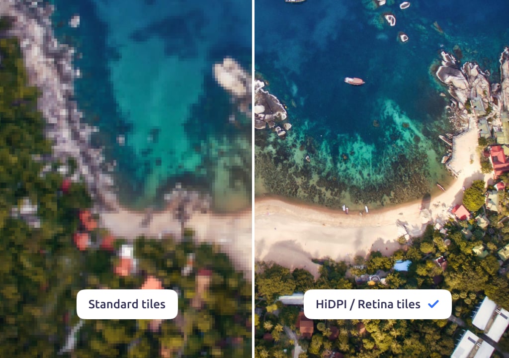
Breathtaking map quality
Engine enables you to create impressive HiDPI/Retina tiles that immediately stand out.
HiDPI/Retina tiles have double the quality and detail of standard map tiles. The best thing is that creating these high-quality tiles is a fully automated feature in Engine.
Engine users create over 10,000,000,000 tiles every day
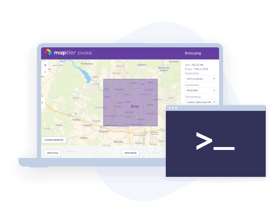
Data with or without coordinates
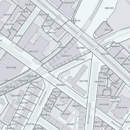
If your data contains coordinate system information, Engine will identify it and use it automatically. In all other cases, you can use our visual georeferencer to set the location of your data manually.
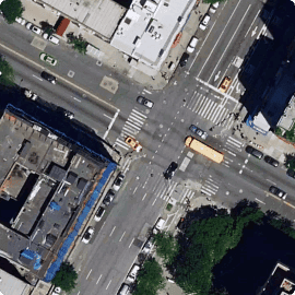
Engine can also perform image tiling, making it perfect for bringing gigapixel-sized scans of old paintings online.
Publish maps on the cloud or host locally
You have a freedom to choose where you will publish your maps. The easiest way is directly in MapTiler's online workspace or Server which are both designed and optimized for fast and secure publishing of tiled maps.
Alternatively you can integrate tiled maps into your product or view them directly on your laptop.

Desktop app and command line
Engine is the only solution that can create raster tiles or vector map tiles in any environment.
You can choose whether to perform map tiling tasks online or offline, on a single computer using our desktop app or on a secure company network and Docker using a command line interface.
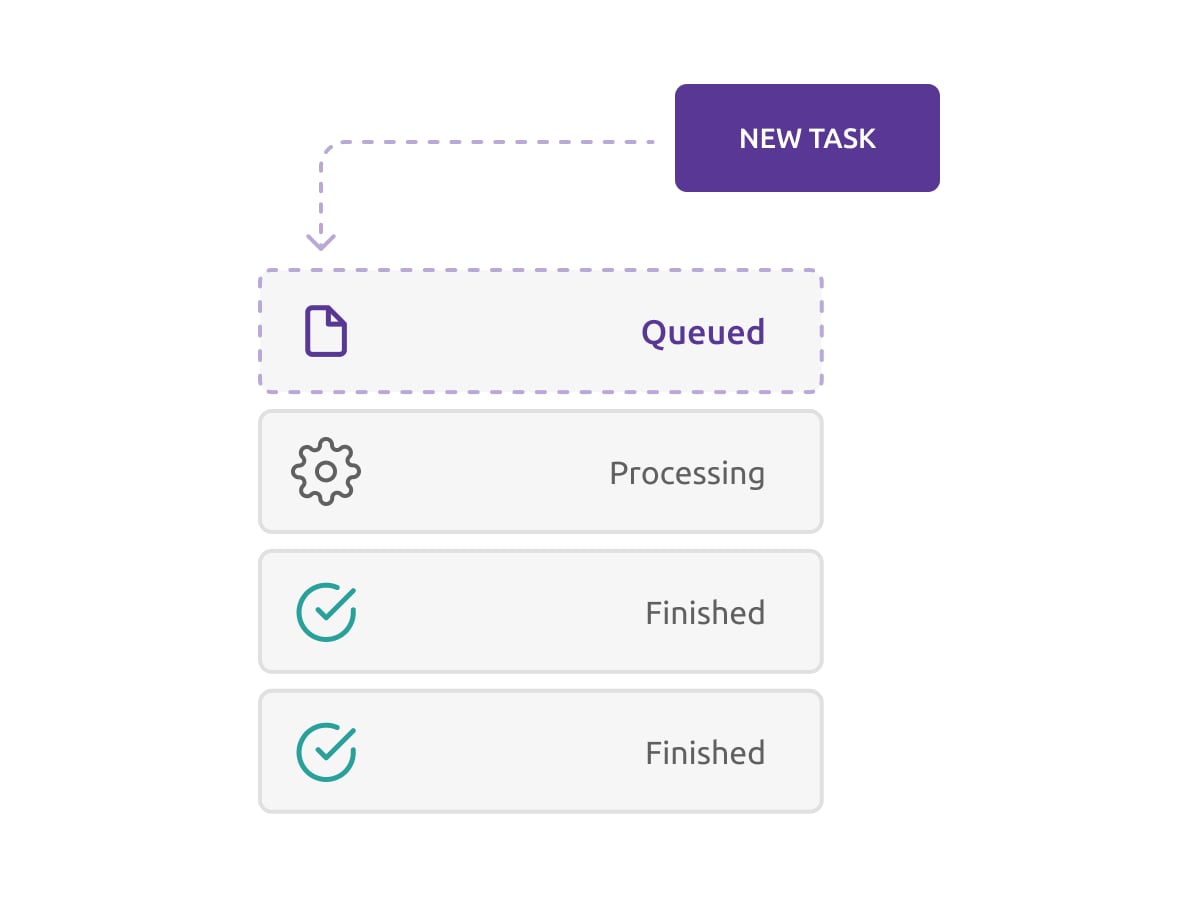
Task queue automation
The task queue enables the creation of new tasks while one is running, and lets you schedule them to finish automatically, one after another. There is no need to monitor their progress or start them manually.
Set up your tasks and let Engine process them, even when you're away. Your tiles will be generated and uploaded to the cloud (if desired) by the time you return to your desk.
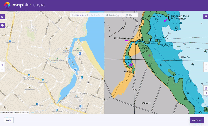
Try tiled maps created by Engine
Tiled maps are the most convenient way of presenting large raster images and vector geodata.