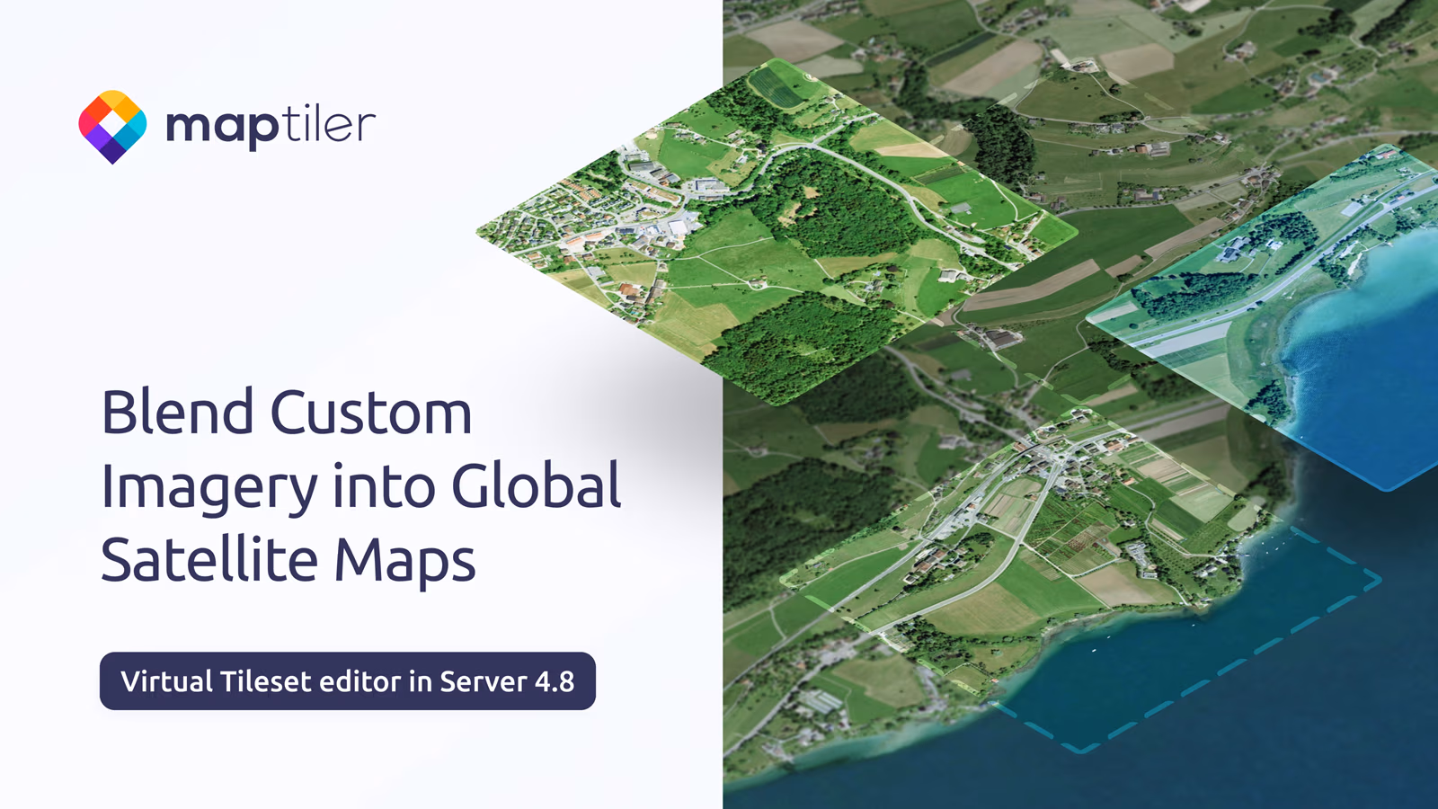
MapTiler Satellite
Experience beautiful, up-to-date, and seamless high-resolution imagery; ideal as a backdrop for your maps and data. Enhance your satellite view with precise vector data for unparalleled detail and context.

Expert Help with Satellite Imagery
Our team is ready to assist you. Get a quick, tailored quote for your project needs.
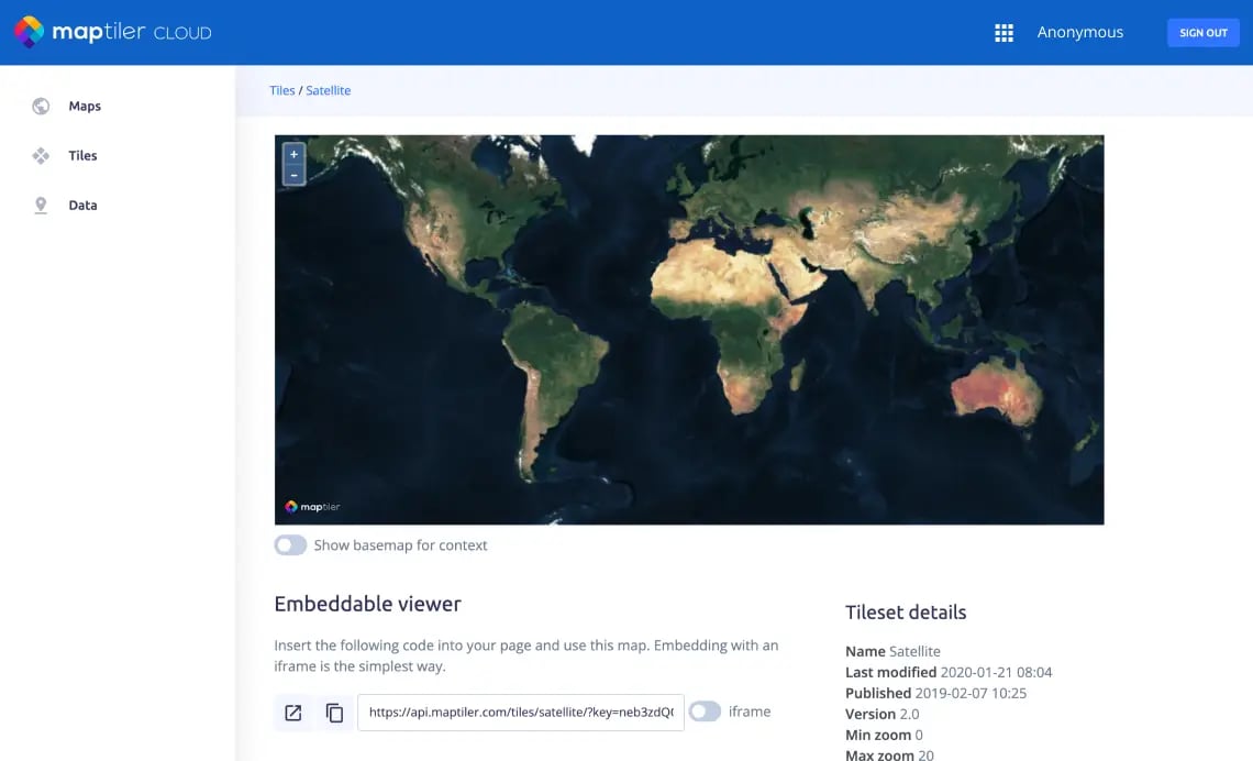
Satellite Maps API for web and mobile apps
Easy-to-use API for developers is available to all users. Integrate into your existing apps or use MapTiler SDK for your new project.
Add imagery layers to your websites, apps, or desktop GIS.
Take advantage of our fast and reliable network of servers in 150 countries on five continents.
Affordable Satellite & Aerial map for self-hosting
Use satellite and aerial imagery for self-hosted secured applications or in offline deployment.
Download the area of your interest or get the satellite map of the entire world on-premises.