OpenStreetMap vector and raster maps via API
Detailed global geodatabase passionately crafted by a dedicated community turned into map service or tiled map for download.
Map services for OpenStreetMap via API
Get code samples for the most popular JavaScript libraries like Leaflet, OpenLayers, MapLibre GL JS and MapTiler SDK via maps API. Load maps on Android and iOS via mobile SDK. Use OpenStreetMap in desktop GIS software via WMTS.
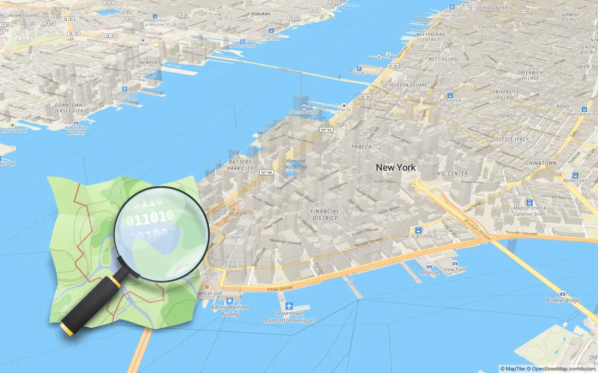
OpenStreetMap style vector maps
Vector tiles with the familiar style are available via API. Customize them, use them in 3D.
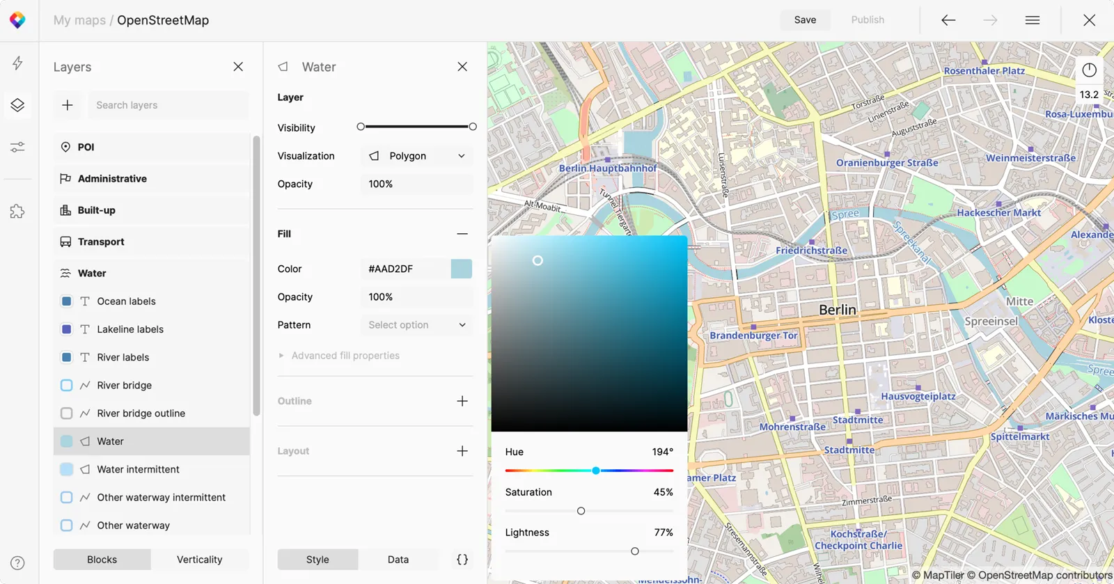
Custom style
Change colors and fonts or create your own map design. Select one of 70 languages for map labels or have the original language for labels on maps based on OpenStreetMap.
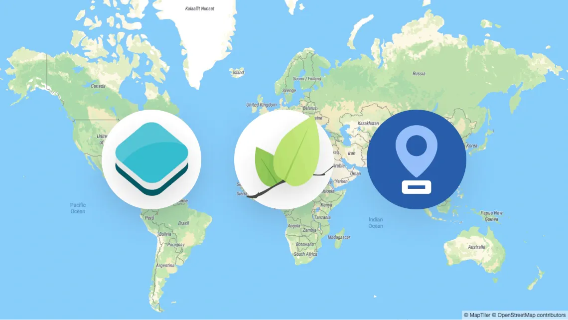
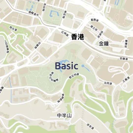
Various map styles for OpenStreetMap data
Choose one of the prepared map styles made from pure OSM or enhanced by additional data like terrain or satellite imagery.


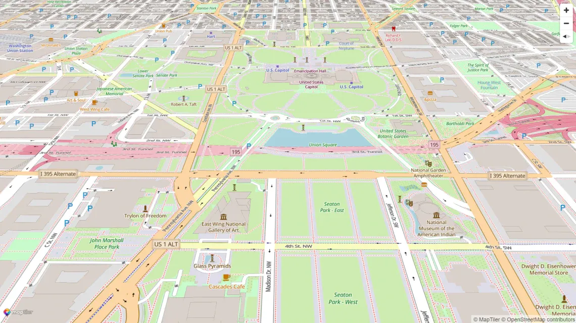
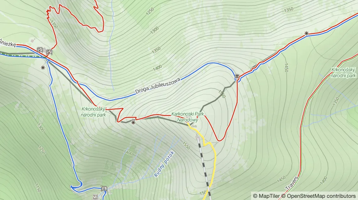
Combine OSM with terrain geodata
Create maps where you mix OpenStreetMap with hillshade and contour lines.
What is OpenStreetMap and how can you help
OpenStreetMap is a global collaborative project mapping the entire world.
The database of the entire planet's geographical data is created and maintained by a community of volunteers and professionals.
Each mapper takes care of his/her area of interest - either thematical or geographical - and together they create the most accurate and up-to-date map of the entire world, all available under the free ODbL license.
Map data contains streets, houses, POIs, but also data for outdoor, landcover, political boundaries, infrastructure, and much other useful information.
Everybody is welcomed in the community!