Support for embedded devices and scalable private cloud solutions means MapTiler Server 4.6 can now be used on most major platforms and architectures. The brand-new OGC Tiles API standard ensures interoperability with other GIS software.
Key benefits
- ARM64 platform & Kubernetes support
- MapTiler Data updates
- OGC Tiles API
Download MapTiler Server Share your feedback
Serve maps from Raspberry Pi, Apple Silicon, and other ARM64 devices
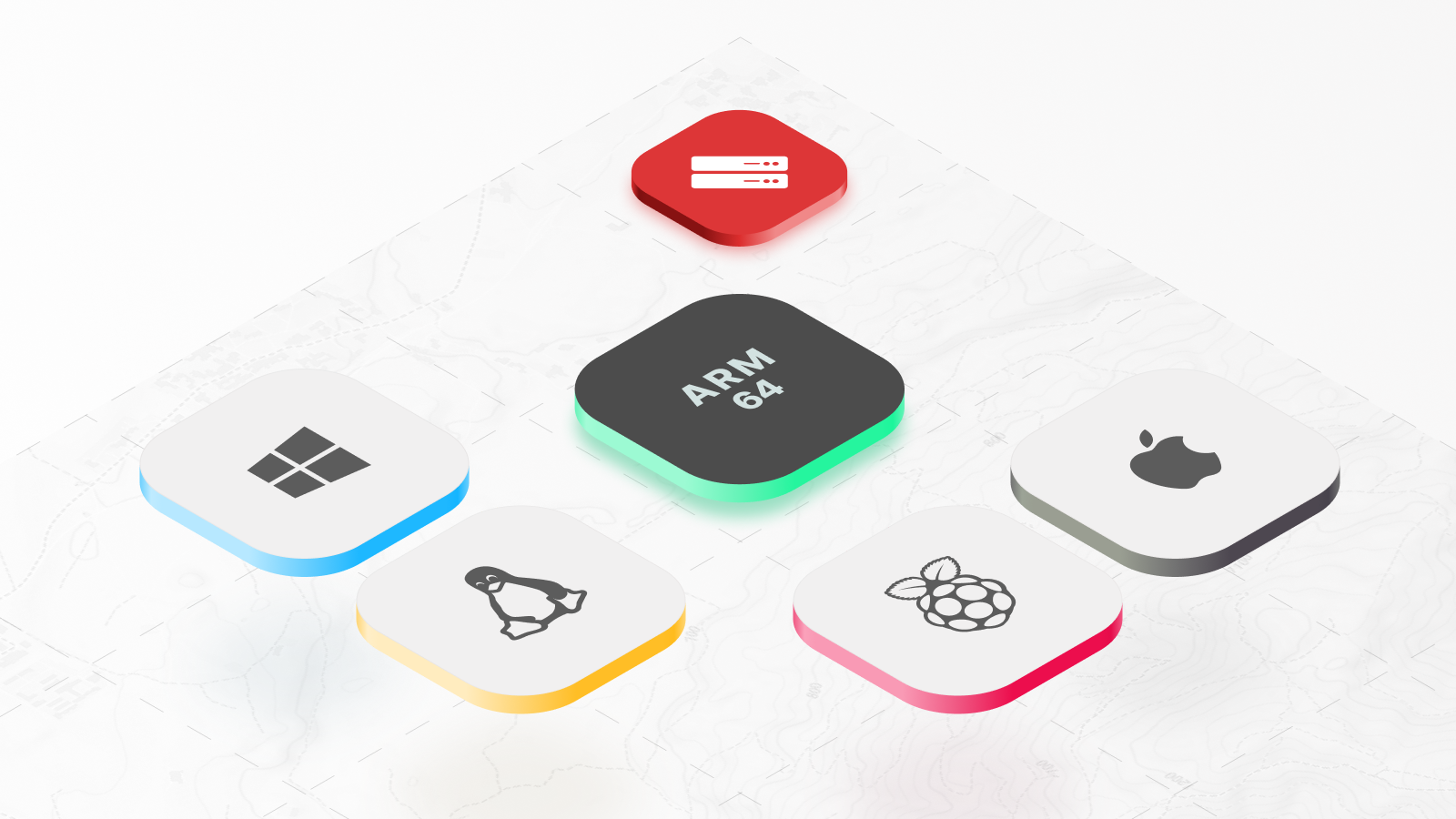
Native ARM64 support in the latest release extends advanced mapping capabilities to a broader range of devices and environments. With this update, MapTiler Server now runs natively on:
- Apple Silicon Macs (M1, M2, M3, M4)
- Raspberry Pi devices (3, 4, and 5 on ARM64)
- ARM-based cloud infrastructure (AWS Graviton, Azure ARM)
- Embedded Linux systems
Ideal for teams working with embedded systems, IoT devices, and mobile solutions, ARM64 compatibility brings essential power efficiency and optimized performance. Users can now achieve optimized performance for their mapping service across their entire infrastructure, whether building navigation systems, field tools, or edge computing applications.
Enterprise deployment with Kubernetes support
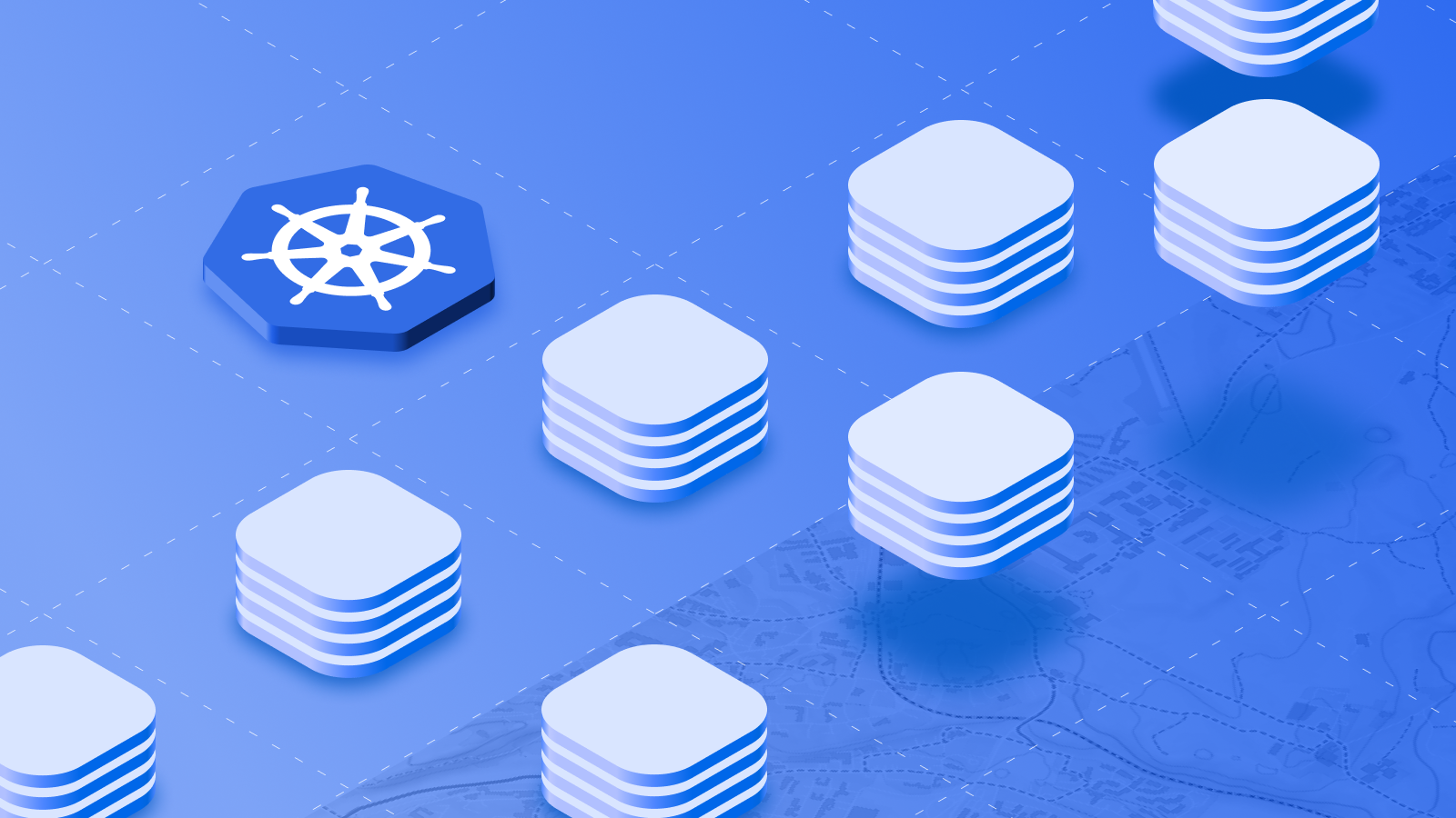
Full Kubernetes support in MapTiler Server 4.6 allows enterprise-grade deployment capabilities to mapping infrastructures, ensuring reliability and scalability for modern applications. With pre-configured Helm Charts, the Kubernetes integration makes it simple to:
- Scale automatically based on CPU usage
- Ensure high availability across multiple servers
- Deploy and upgrade with straightforward commands
- Monitor performance and receive alerts
Whether serving maps for internal applications or customer-facing services, organizations can now leverage Kubernetes for reliable, scalable mapping services with minimal operational overhead. Combined with MapTiler Data’s premium datasets and offline capabilities, it offers a robust, secure solution for scalable map services.
MapTiler Data updates
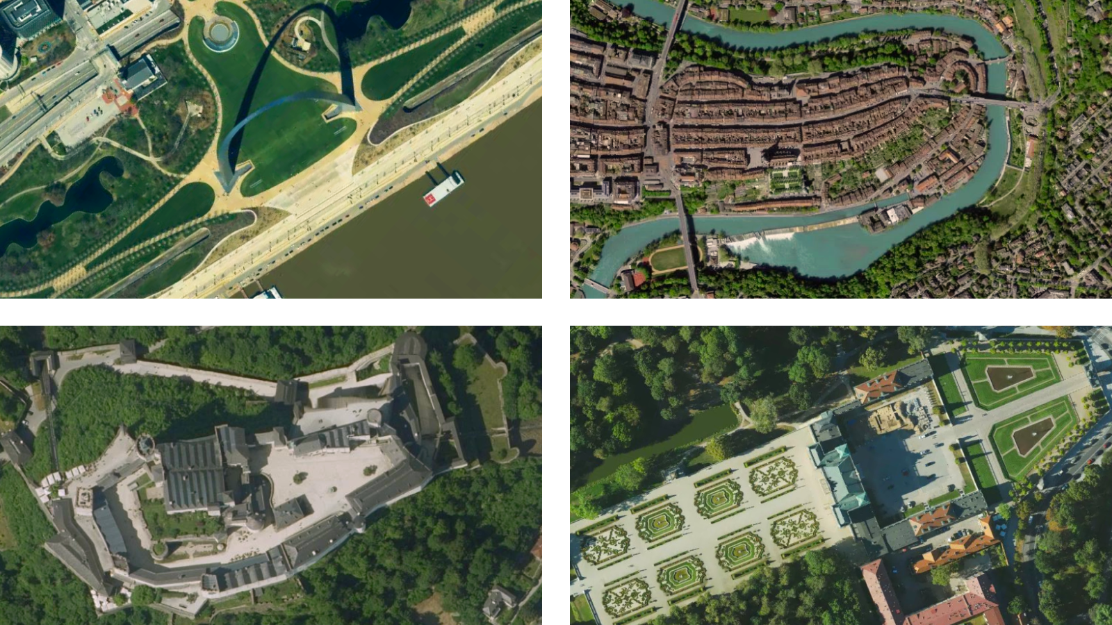
Recent updates to MapTiler Data bring high-resolution aerial imagery to the satellite map layer, adding detailed coverage in the U.S., Switzerland, Austria, and cities in Poland. Some areas now feature resolutions as high as 7 cm per pixel, providing remarkable clarity for precise mapping needs.
Browse satellite map Contact sales
Enhanced interoperability via OGC Tiles API
With the OGC Tiles API standard, MapTiler Server fully complies with the latest standards, boosting interoperability with other mapping systems.
The OGC Tiles API enables:
- Seamless integration with OGC-compliant systems
- Standardized access to map tiles across platforms
- Future-ready API compatibility
- Simple integration into geospatial workflows
This addition makes MapTiler Server a versatile, standards-based solution for GIS applications, web mapping, and enterprise systems.
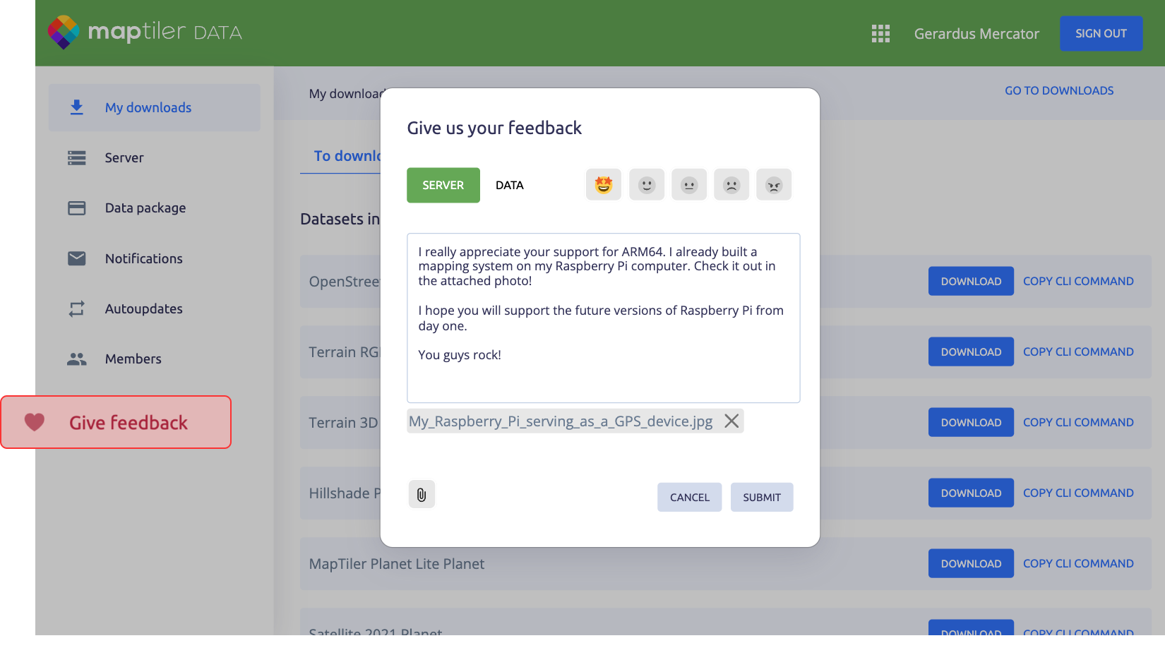
We want your feedback
Share your ideas in our new feedback form! If you have an idea for a new feature or dataset, or feedback on existing ones, you can send a message straight to the team. Both MapTiler Server and Data are continually being improved; now you have an easy way to influence this development. We look forward to hearing from you.
Download MapTiler Server now!
MapTiler Server enables enterprise-grade deployment on a wide range of commonly used platforms for personal computers, laptops, embedded devices, servers, and cloud environments.
