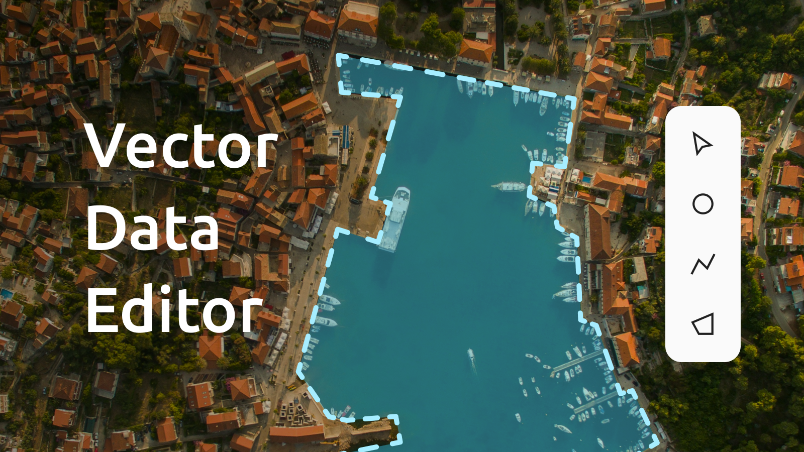
Digitizing satellite imagery, collaborative editing, or importing data for publishing on the web is now effortless with the new Vector Data Editor. We've improved the user interface, built in new features like Search and Add, and streamlined the entire workflow.
Learn about vector data editor
Import your own geographical data
If you already have your own data, importing only takes a few clicks. The vector editor supports key formats, including GeoJSON, GPX, KML, and Shapefiles. Just upload the file, and it will appear with its original properties intact.
The editor handles points, lines, and polygons, each of which can have text, number, or boolean properties. This allows you to include additional details like names, volumes, or other relevant information.
To enable collaborative editing, make sure you activate a Team account.
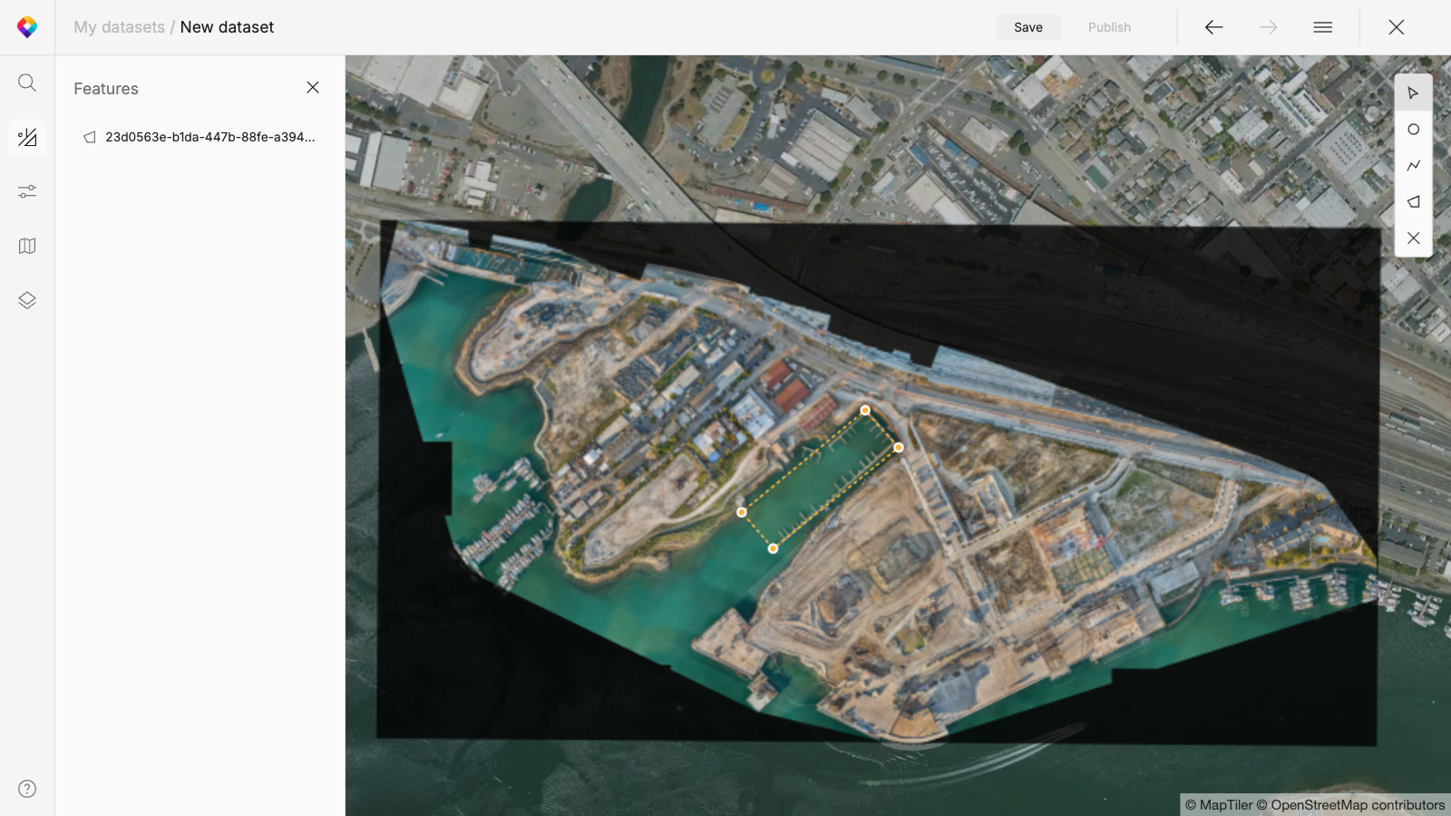
Digitizing satellite, aerial, and drone imagery
Digitizing satellite, aerial, and drone imagery is straightforward. To begin, choose a map from the menu or add an overlay. You can then digitize features and assign properties using the formats and data types mentioned earlier.
Additionally, you can add a layer as an XYZ service, providing more options for analyzing your data with external references.
Search and Add data
A unique feature of the Vector Data Editor is the Search and Add function. Using our integrated geocoding service, you can search for features like cities or countries and add them to your map with a single click. You can add the entire geometry as a polygon/line or just the center point. In both cases, the data comes with the name property already included. After adding, you can edit this data and later style it in the Customize tool.
Publish your data on a map
The data you create can be:
- directly visualized using popular JavaScript libraries like the MapTiler SDK
- used with the Customize tool to add to an existing map style
- exported for use in GIS software
We have the perfect map styles for overlaying your new data. The DataViz, Aquarelle, and Basic styles (available in Dark & Light variants) are designed specifically for this purpose.
Learn about vector data editor