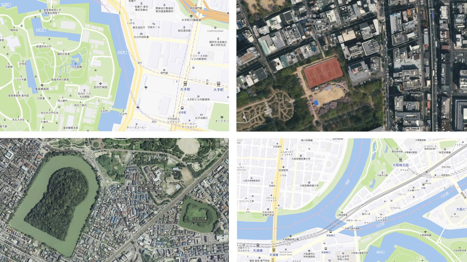
Map design referring to Japanese cartography, global maps in Japanese language, maps from official government data and local experts willing to assist with any GIS related question can now be found at MapTiler.jp.
Japanese cartography and government open data
A very detailed street map of Japan is available in various cartographical styles, including Streets, Gray, and Dark, specially designed to fit the Japanese cartography tradition. Those map designs were developed by our partners, MIERUNE, under the supervision of Toru Mori, a former cartographer of Apple Inc.
Open data from GSI, Geospatial Information Authority of Japan, were merged with other open data from OpenStreetMap. Worldwide maps based on OSM in Japanese can also be found there.
Global cloudless satellite imagery is seamlessly blended with aerial data sourced from the Japanese government. MIERUNE Streets map and aerial imagery from GSI
Our local partners with strong GIS expertise
MIERUNE, a geospatial tech start-up from Sapporo, is partnering with us on the launch of MapTiler.jp. Previously, they were working on the map service called “MIERUNE Map” focused on the Japanese market, which is now available to everyone on MapTiler Cloud.
The MIERUNE team is also providing consultancy for QGIS and other open-source tools and they are experts on OpenStreetMap and government open-data.
MapTiler.jp, your maps’ hub for Japan
Head to MapTiler.jp to learn more about maps we provide, available styles or contact us for sales requests.
お問い合わせお待ちしています。

