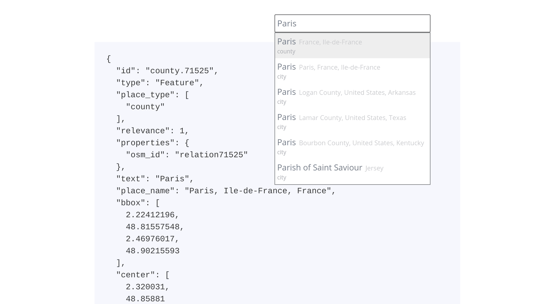
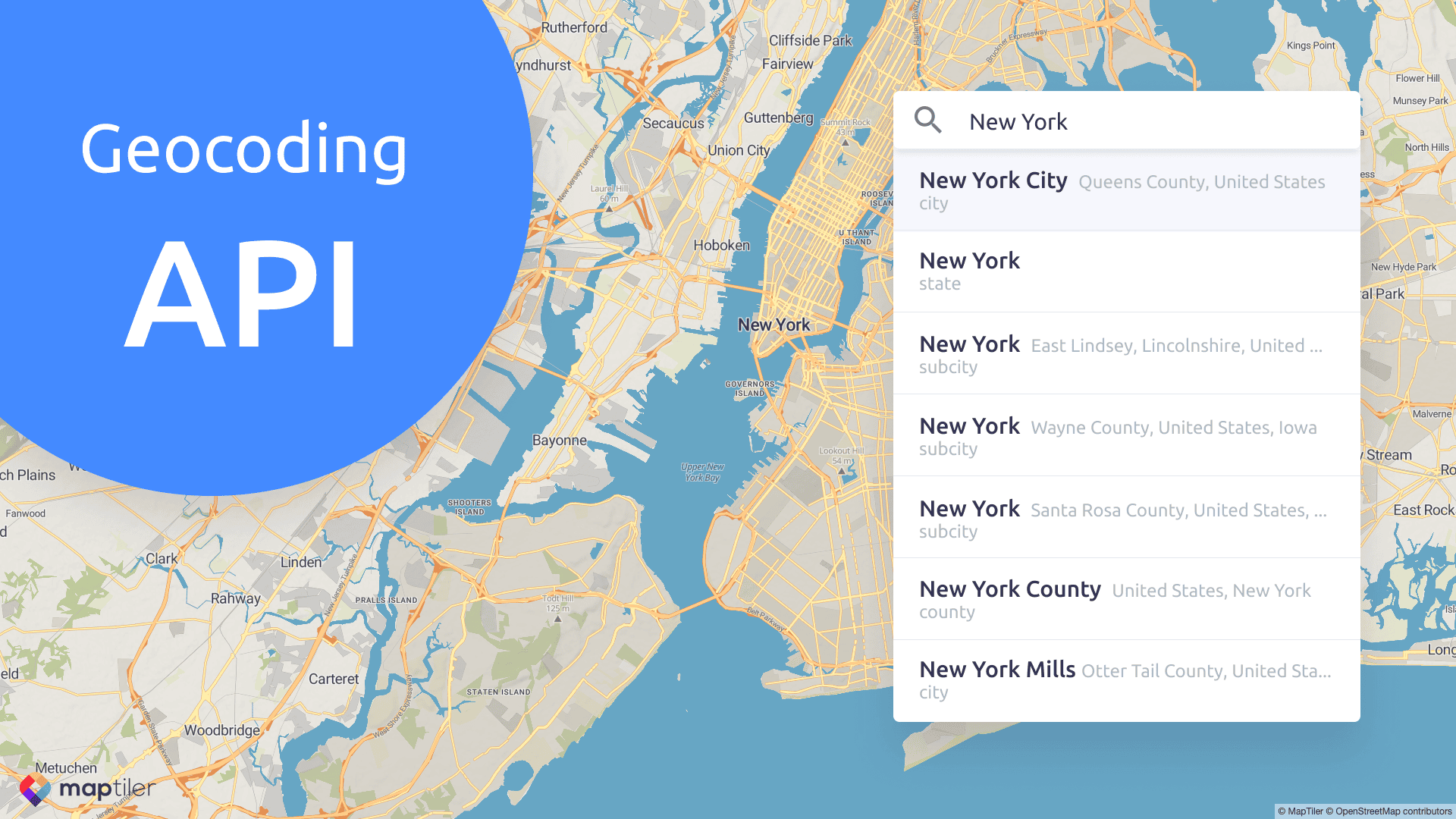
The new version of geocoding service is available on MapTiler Cloud. With global data blended from multiple sources, it gives you the ability to search for places to the street level.
Geocoding service for place name search
Geocoding is the process of transforming place name to geographical coordinates and vice-versa. The typical usage is searching for a city, village or a street, but we also provide reverse geocoding service, which returns a human-readable place name for given coordinates.
The API is part of MapTiler Cloud and it launched now out of the beta program.
Features of geocoding on MapTiler Cloud
MapTiler Cloud provides geocoding service with place names to the street level, where results are ranked to give the most relevant results.
The service offers:
- Fast responses for interactive search
- Search with language preference
- Limit search to a given bounds
- Proximity search
- Reverse geocoding
- Autocomplete typed words
Technical details
For an easy start, there is a JavaScript code snippet with autocomplete prepared in the administration. Use the component directly or read more about it.
REST API gives you a single endpoint responding to GET requests. By parameters in URL, you can set bounding box, language or proximity.
The response is always sent in a GeoJSON format for simple parsing, with many different parameters for each feature.
Reverse geocoding is performed by sending the coordinates as a query.
Start using with a free account
Geocoding API is available now on MapTiler Cloud to all users, including those with the free account.

