MapTiler Desktop 10.0 is released and the biggest news is the support of vector tiles. You can now use vectors in input as well as in output format.
Create Vector Tiles on Desktop
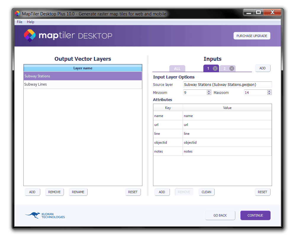
Generating of vector tiles is extremely easy on all platforms, including Windows: you just drag and drop your vector data (in GeoJSON, Shapefile, PBF, GPX, KML or any other vector format), select attributes in each layer which you want to render, set zoom levels and choose the output format.
MapTiler Desktop 10 supports generating vector tiles into Folder or MBTiles format as well as direct upload to Cloud services or mobile devices.
When the rendering process is done, you can quickly display the tiles in MapTiler Desktop using built-in inspect mode. For production deployment, you have to create a style, which is possible in our MapTiler Cloud.
For command-line MapTiler Engine usage, the manual page for new vector layers option is already available at manual.maptiler.com. 
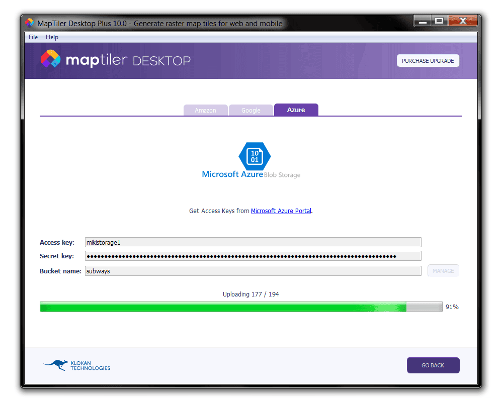
Map hosting on Microsoft Azure Blob storage
MapTiler Desktop 10.0 added support for direct fast upload to Microsoft Azure Blob storage. This is another cloud service supported next to Amazon S3 and Google Cloud Storage.
Direct upload to MapTiler Cloud is scheduled for the forthcoming version of MapTiler Desktop.
Other changes in MapTiler Desktop 10.0
- New Amazon S3 regions with Version4 authorization (US East Ohio, Canada, Asia Pacific, China, EU)
- Updated PROJ.4 and GDAL library (MacOS, Windows)
- Fixed issues with license activation on Linux and newer version of Windows
- New Linux distribution versions - Ubuntu 18.10, Fedora 29
- Dropped support for Windows XP
- Several other small improvements and bug fixes
Download MapTiler Desktop 10.0 for free at www.maptiler.com/download.

