Open source software Tileserver.php developed by Klokan Technologies helps NOAA pilots to acquire new aerial imagery.
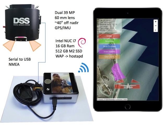
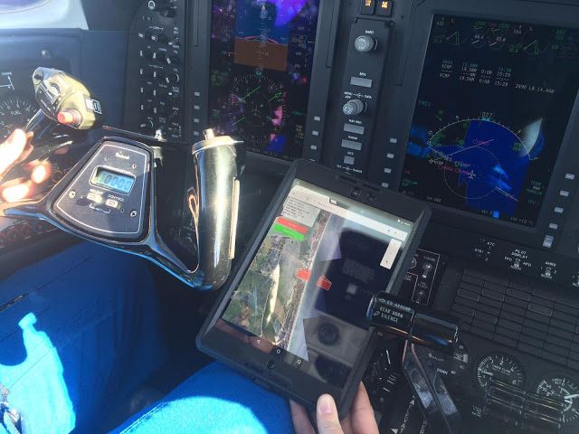
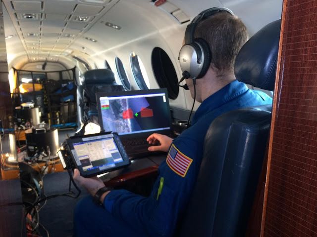
The base maps pre-rendered with MapTiler are stored on a small Intel NUC I7 on board, where tileserver.php is installed. Via local Wifi, the maps are streamed to an iPad attached to a pilot dashboard showing the position of an airplane and exact area of a taken photography.
The system is in active use and was presented by Jon Sellars and Jason Woolard from NOAA on FOSS4G NA 2016.
Tileserver.php
Open-source software used for hosting of maps on the board: https://github.com/klokantech/tileserver-php
MapBox GL JS
The open-source library used for displaying free OpenStreetMap vector tiles (OSM2VectorTiles, now replaced by OpenMapTiles). JavaScript Map Library
MapTiler
Software used for pre-rendering of the aerial imagery into raster tiles. http://www.maptiler.com/


