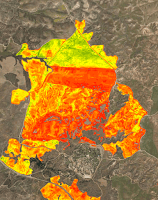
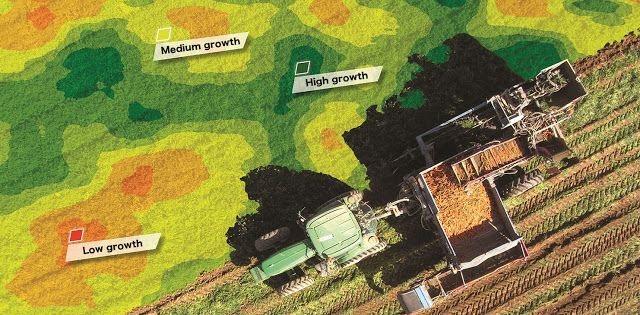
MapTiler helps with the fast delivery of aerial images taken with multispectral crop monitoring sensors, usually carried by a drone or an aircraft.
After quick processing with our software, the outcomes are available online to farmers and end-users - with the fast map tile hosting on Amazon S3 or Google Cloud Storage.
Such maps can be accessed online from any mobile device, showing your own GPS position on the location.
MapTiler Start or Plus on a desktop computer can be used for publishing similar geodata and creating a customer portal with selected maps.
Automation of the process on the server side, including upload of map tiles to a cloud hosting, can be done with a command line using MapTiler Pro - integrated into a workflow or company backend.
Many thanks to agricam.co.il for valuable inputs on the process and for the sample imagery. 

