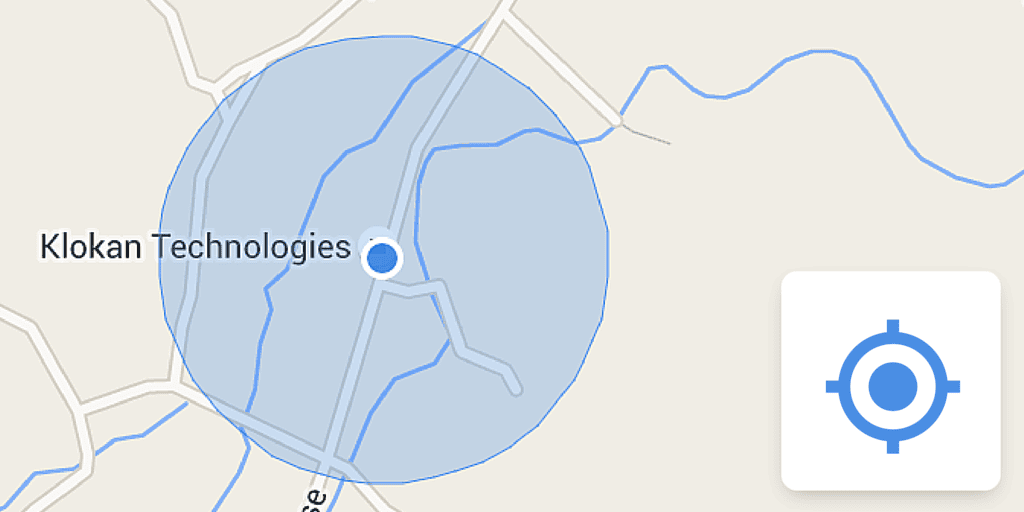
We have made a Google Maps API v3 component, which anybody can use in custom projects to add a control showing current geolocation with just one line of code:
var geoloccontrol = new klokantech.GeolocationControl(map, mapMaxZoom);after including in the HTML header this JavaScript:
<script src="https://cdn.klokantech.com/maptilerlayer/v1/index.js"></script>See: http://www.maptiler.com/maptilerlayer/
for an example code and documentation.
It adds the standard control to the map - and once tapped - it shows the blue circle around your location with size derived from precision of the location data available. If you don’t drag the map it will keep you positioned once you move.
This control has been developed for viewer automatically generated by http://www.maptiler.com/ software - which creates tiles for map overlays and custom layers made from images and raster geodata.

