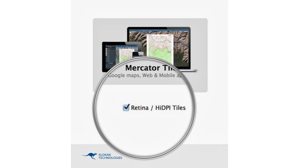
The new MapTiler Desktop 0.5.3 comes with several exciting new features:
- Rendering of Retina / HiDPI map tiles from any raster geodata
- Improved output into minimised PNG (better defaults for colour quantisation)
- Support for maps crossing the international dateline (+ or - 180 degrees longitude)
- Background colour of base maps selectable in the user interface under Advanced options
- Google Earth API web viewer generated for KML SuperOverlay
- Checking for updates is automated and installation of new versions simplified [Start]
- Graphical User Interface for Linux operating system available for MapTiler Pro customers next to the command line for full automation
- Improved Mac OS X 10.9 support (open file dialogs, upgrade to QT 4.8.6rc)
- Better handling of thousands of input files in the graphical user interface [Pro]
- Several bug fixes, improved stability on older Windows
In case you are an owner of a Retina / HighDPI mobile device such as iPad or iPhone or recent tablet with Android or one of the Apple MacBook Pro Retina or Google Pixel, then have a look at examples of the beautiful retina high DPI.
It is extremely easy to prepare such sharp maps from any raster geodata (GeoTIFF, etc) or even scanned paper maps or standard JPEG or PNG - and then upload and host them on Amazon S3, your own server or for free on Dropbox or on Google Drive hosting.
Would you like to try the MapTiler Pro demo with your own data on your own computer? It is available on request via www.maptiler.com/.

