Election Maps
JavaScript maps with real-time updates for interactive websites or TV broadcasts
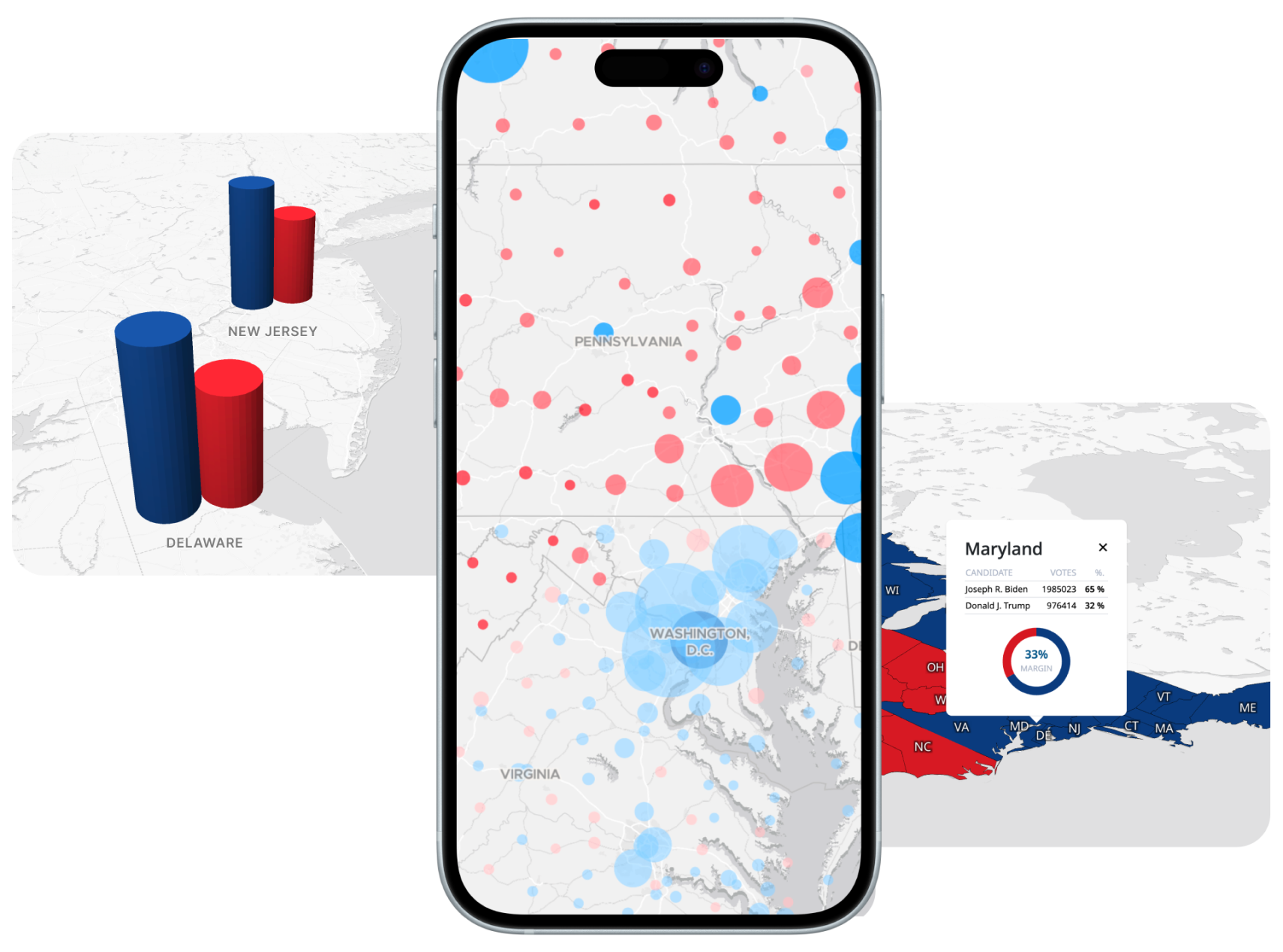
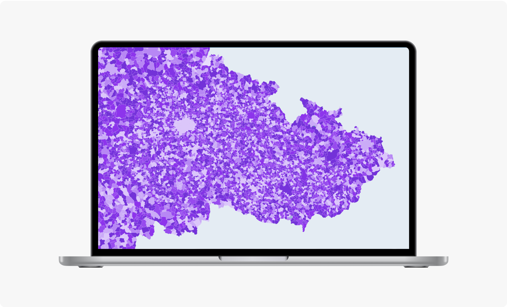
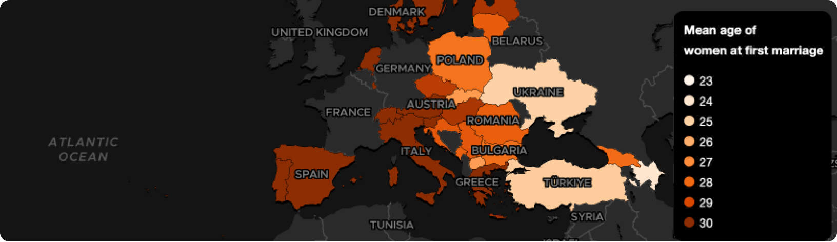
Visualize Election Results
Get the edge over your competition by adding filters and clickable features, the MapTiler SDK makes it easy to create interactive maps so your users to can gain new insights.
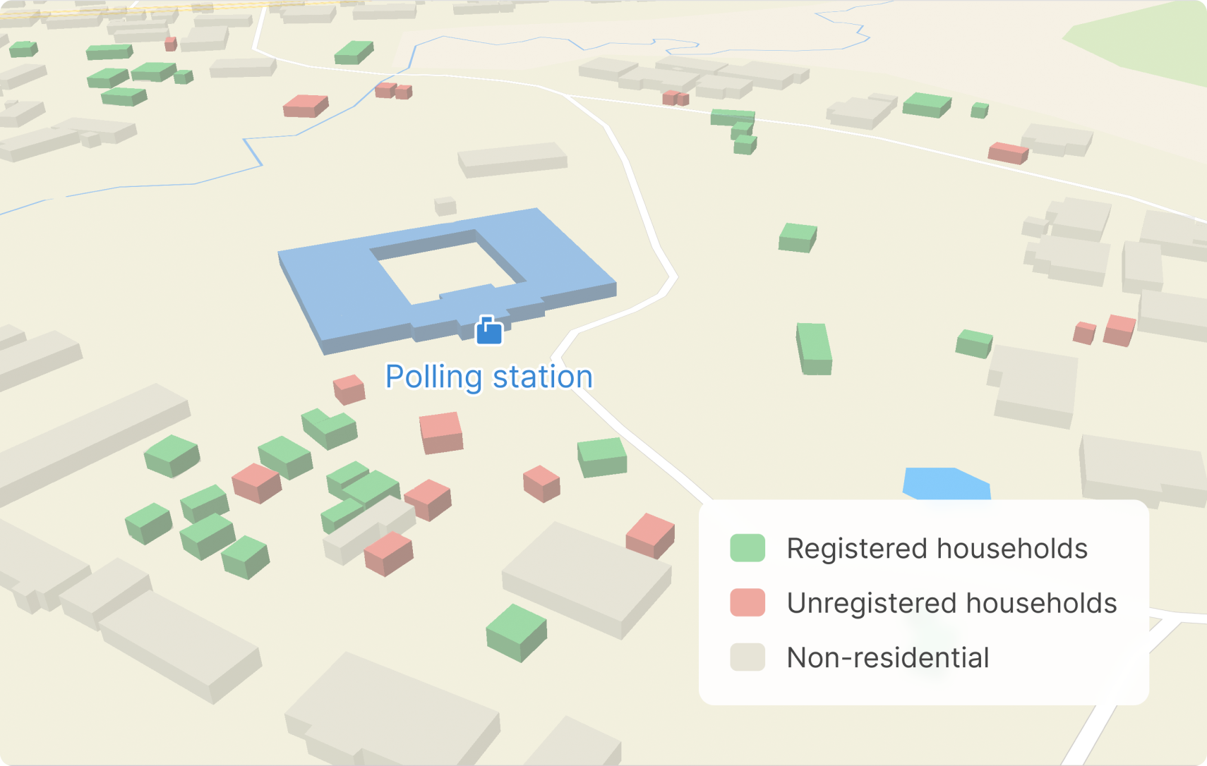
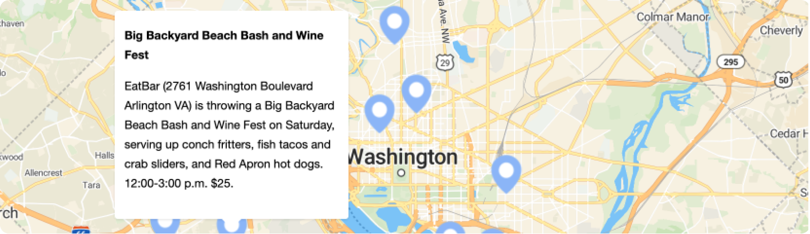
Show people where to vote
Plan elections properly with maps! Locate polling stations and other infrastructure vital to the delivery of elections.
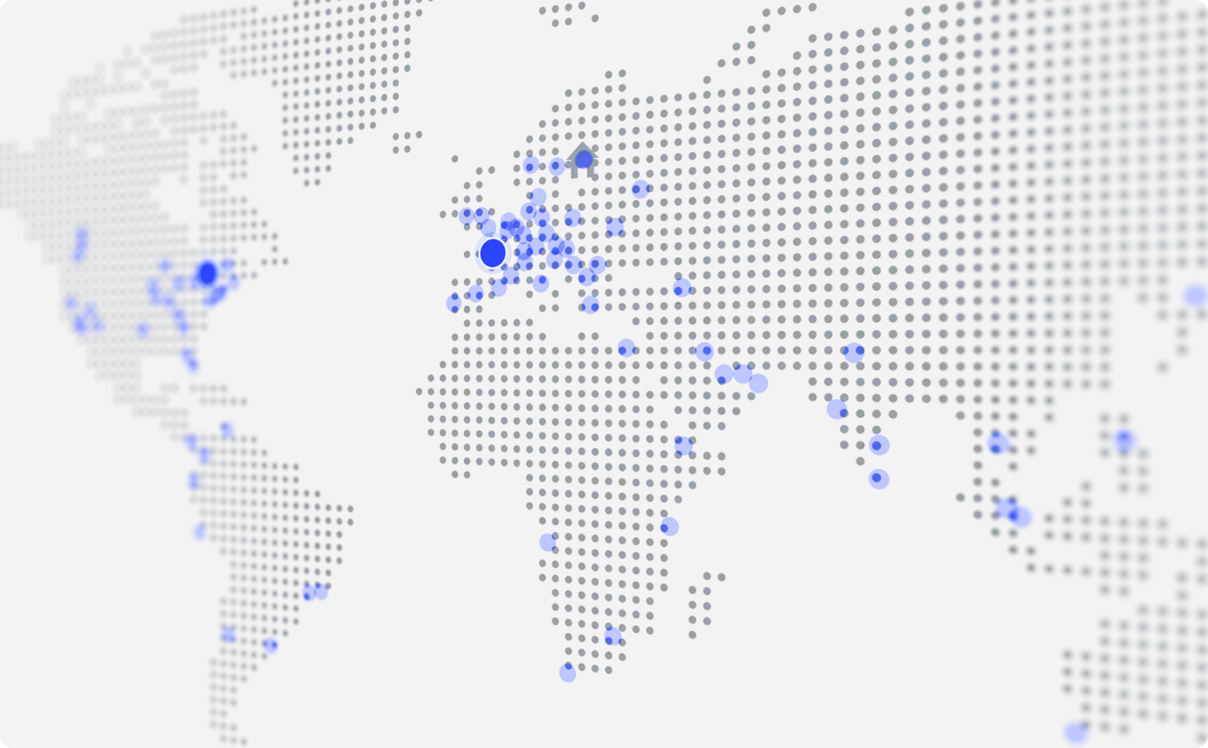
Make maps available on portable devices for use on the streets registering people to vote or collecting campaign data.
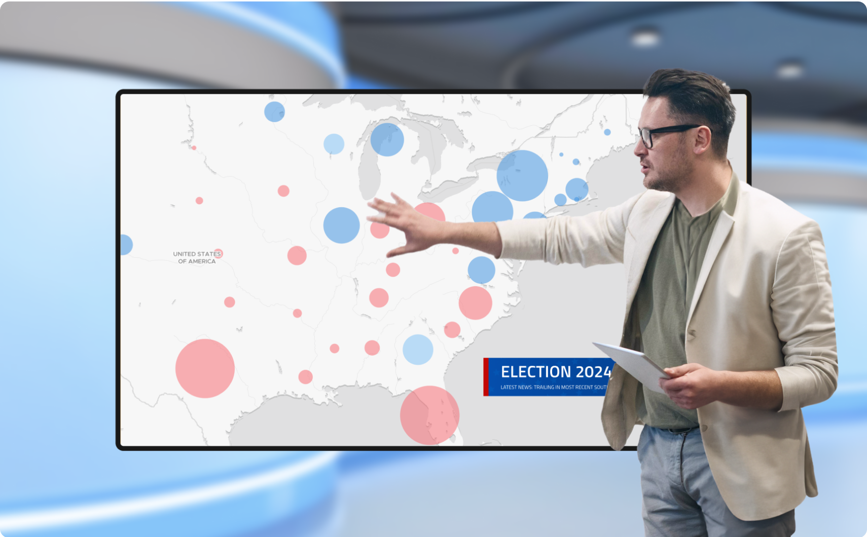
High performance election maps
Our robust web infrastructure already serves over 300 million maps a day, so if your map goes viral on election night, we’ve got your back!
Maps are served from over 300 servers on 5 continents, with core data centers in Western Europe and North America.
In-house maps for election broadcasts
Are you planning a live TV broadcast and need an on-premise solution? MapTiler Server can provide the maps you need without the fear of an overwhelmed internet connection.

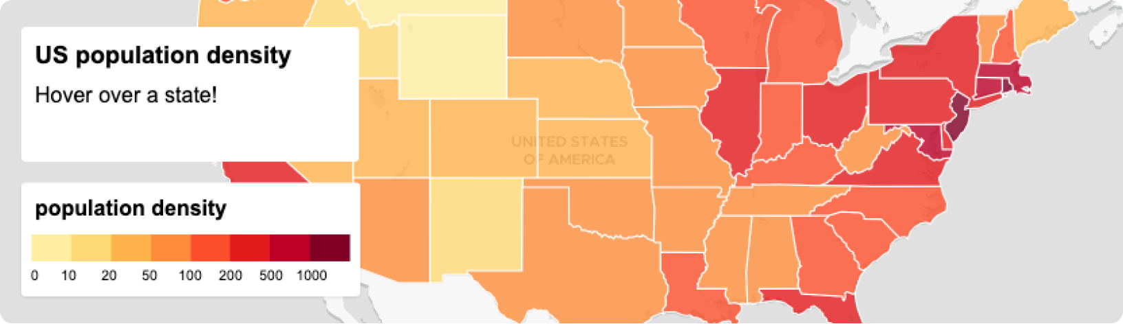
Cost effective static maps
Use maps in the same way as images, only they update as the data changes. Perfect for showing results for individual counties or constituencies.

Real-time updates
Build your map and see it update as the results come in. Connect maps to separate external data sources to make your interface live!

Maps for video
Making animated election maps with Adobe After Effects? Our partners at GEOlayers have a plugin and a powerful web app for creating animated maps.
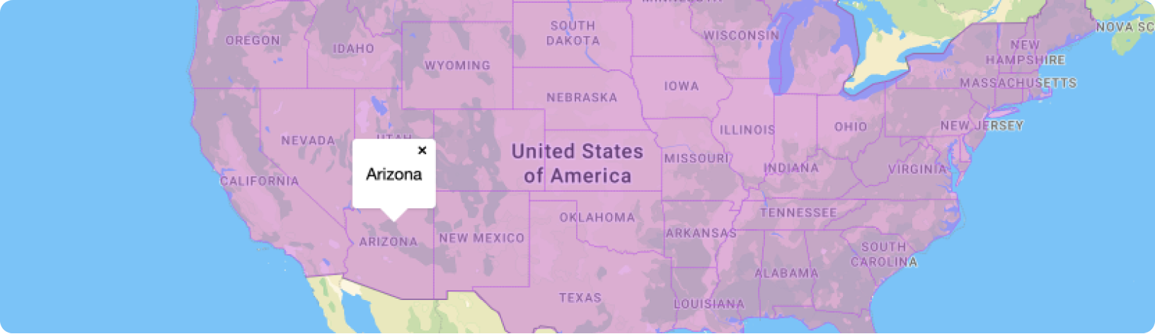
Administrative boundaries
Our Countries dataset has the boundaries you need to build election maps in Europe, the USA, and many other countries around the world.
These ready to use boundaries are accurate and simple to join to your own data. Just follow one of our tutorials on the subject.
New to MapTiler?
Build next generation maps with the MapTiler SDK