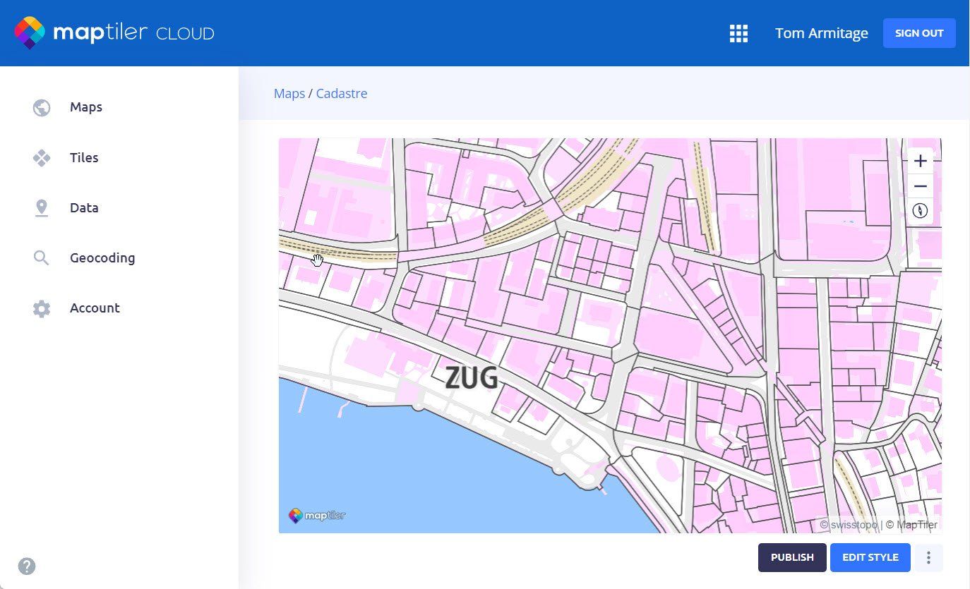
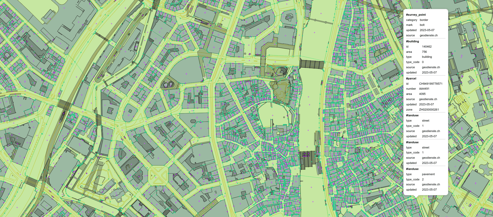
Cadastre map
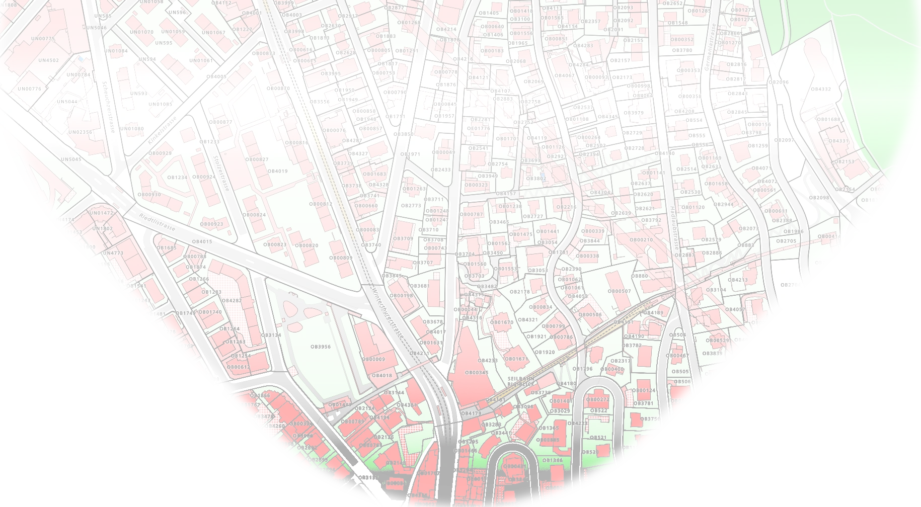
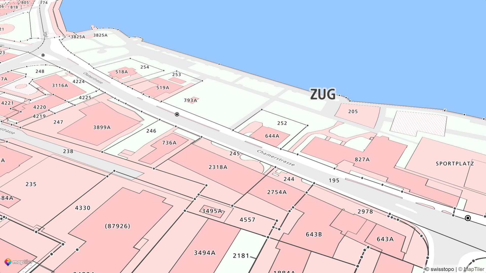
Parcels, buildings, their numbers, land-use along with the most precise geometry and additional information for interconnecting with authorities and their services.
Cadastral maps as vector data
Sharp lines and text even when zoomed right in, our cadastral maps are built with Vector Tiles, so you can navigate without losing the detail as you would on a scanned paper map. Vector tiles are also compact and very quick to load, meaning you don’t have to wait for results.
Universal dataset schema
The schema for the data is intentionally minimalistic, enough to style the data, identify the land parcel, and link through to the official documentation for the legally valid details, such as ownership information and history. Keeping the detail in the official documentation means the schema will also work with data from any country as we build an international cadastral map.
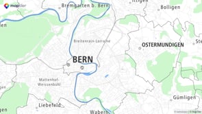
The data currently covers 19 of the 26 Swiss cantons, but we can easily add new countries. If your country missing then please contact our support.
Regular updates
The data are regularly updated to make sure your users will get the most up-to-date maps. The update process is automated to avoid any unnecessary delays.
Please note that the official authorities of each national and regional survey office do not all have the same update cycle, so some datasets will not be completely up-to-date, however what we do have re[presents the best available at the time. For more detailed information about how to use the Cadastre dataset for legal action purposes, contact our support.
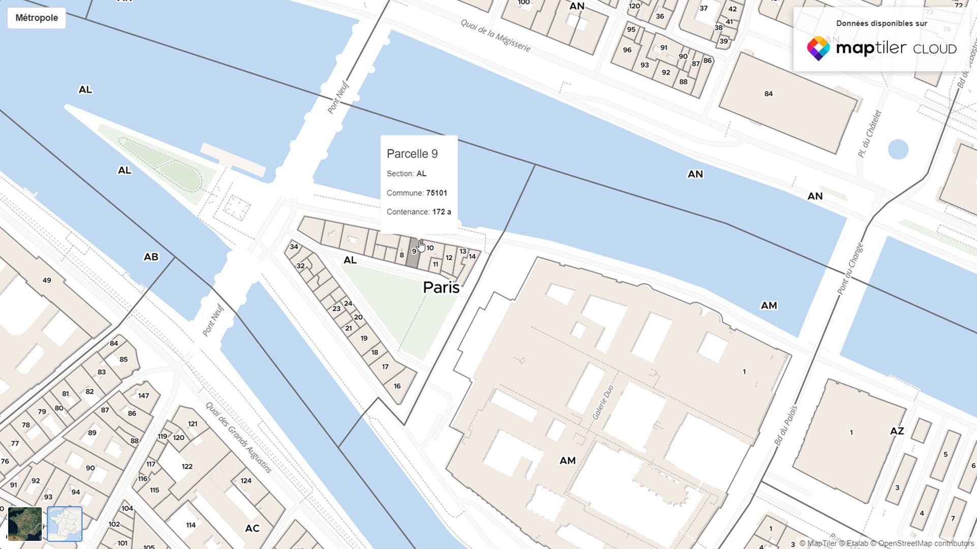
Cadastre map style
We have also prepared a Cadastre map based on the data schema for you to include in your website or app. It is simple and informative, highlighting the parcel types and displaying parcel numbers.