The new version of our open-source map publishing project OpenMapTiles 3.10 improves many water features, updates boundaries, brings new points of interest and adds four new languages.
Water layer improvements
The whole import-water repository was updated with newly generated data we use for displaying oceans as OpenStreetMap Data is changing its URL. Together with this, the water polygon schema was changed to ensure there are no islands clipped or missing.
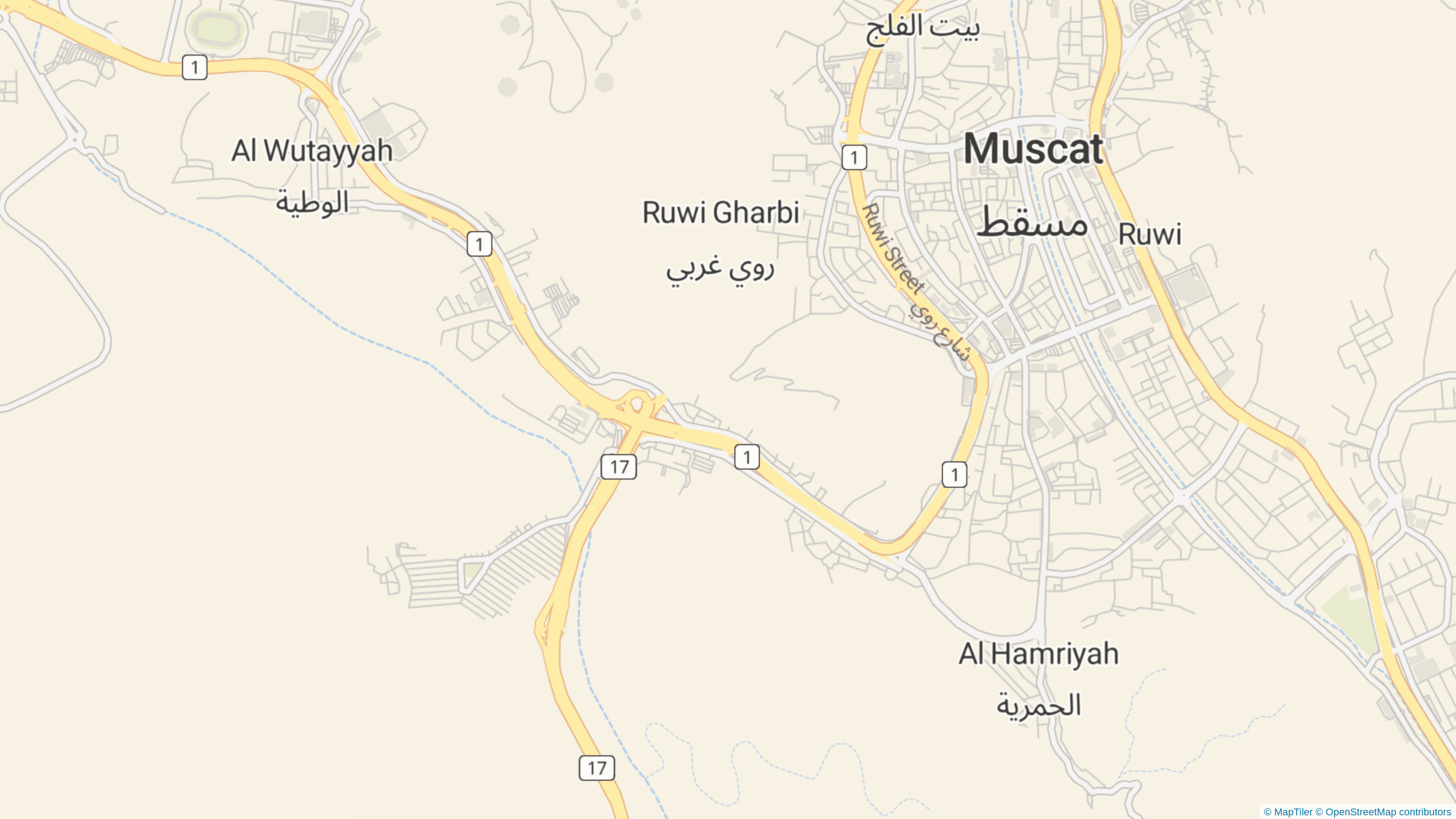
Intermittent water bodies and waterways can be now distinguished from the permanent ones. This is especially helpful in areas where mobility is strongly bounded by seasonal weather changes (e.g. wadis in desert areas). Most of the rivers in Muscat, Oman, are intermittent
Boundary updates
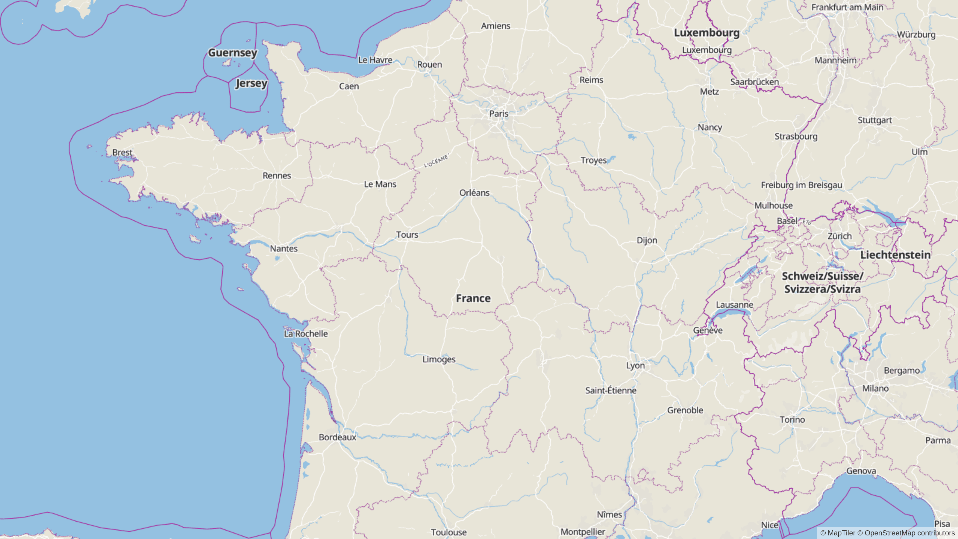
The Boundary layer will have from now more frequently updated data. This is by changing the data provider from Natural Earth to OpenStreetMap starting zoom level 4. This improves things like displaying regions of France.
Other improvements in OpenMapTiles 3.10
- Volcanoes added to the Mountain Peak layer
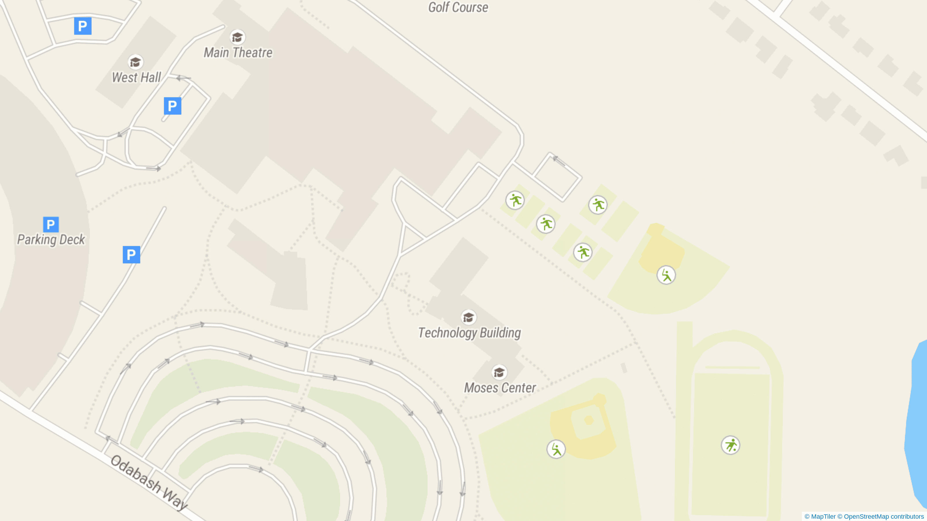
- Parking places and dormitories added as POI
- Tracks added to the Landuse layer
- Possibility to choose the surface of the ways and color of the buildings if tagged in data
- Four new languages added: Indonesian, Basque/Euskara, Occitan and Corsican (OpenMapTiles now supports 63 languages!)
 New parking places POIs
New tiles with all changes are available for download on OpenMapTiles.com or ready to use on MapTiler Cloud.

