Some time ago, we started a project with the aim to simplify creating and using maps based on open-data and running on open-source software. After years of active development, we are announcing MapTiler Cloud, a map hosting service available to everyone.
Maps of the entire world
The heart of our maps is based on OpenStreetMap data. This crowdsourcing project covers entire world and variety of topics: from transportation infrastructure through landcover information to detailed information about multiple kinds of points of interest.
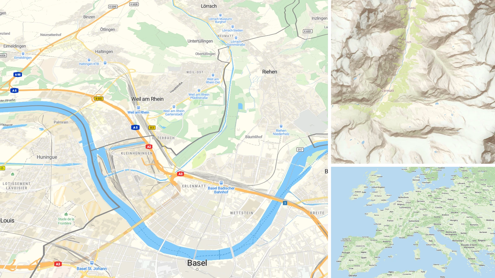
There are six default base maps available, each suitable for a different purpose:
- Street map is the best fit for car navigation and displaying points of interest and markers
- Topo map with contour lines and hillshading is suitable for hiking and outdoor activities,
- Gray and Dark basemaps helps your overlays to stand out.
All maps are available in 55 languages, which can be optionally auto-selected based on the visitor’s language. In addition, we also offer other datasets like satellite map of the entire world or contour lines and hillshading for outdoor maps.
We have a free plan for non-commercial projects, which includes open-source and open-data communities, which we highly value for their work. The other plans are billed to ensure sustainability of our project. However, since MapTiler is not venture-funded, we can set the prices relatively low compared to our competitors like Google or Mapbox, because we are not committed to any third-party entity, only to our clients. There is also another advantage of an independent company: all the profit we make can be directed into further development of the project. And most important, we can create a clear business model by selling maps, not end users’ private data or advertisement.
Use it on the web, mobile, desktop or in games
With a good map in the background, you can let your imagination fly and start developing the coolest application ever. It is easy to add point, line, polygon or completely change the maps and visible data for your own purpose.
There is an built-in support for most of the popular JavaScript libraries for your web development like Leaflet, OpenLayers, Mapbox GL JS and much more. You can also use it in numerous mobile SDKs for Android and iOS including Mapbox, Tangram or Carto mobile SDK. The maps are also compatible with desktop GIS like ArcGIS or QGIS and there are static maps for printing and graphics. 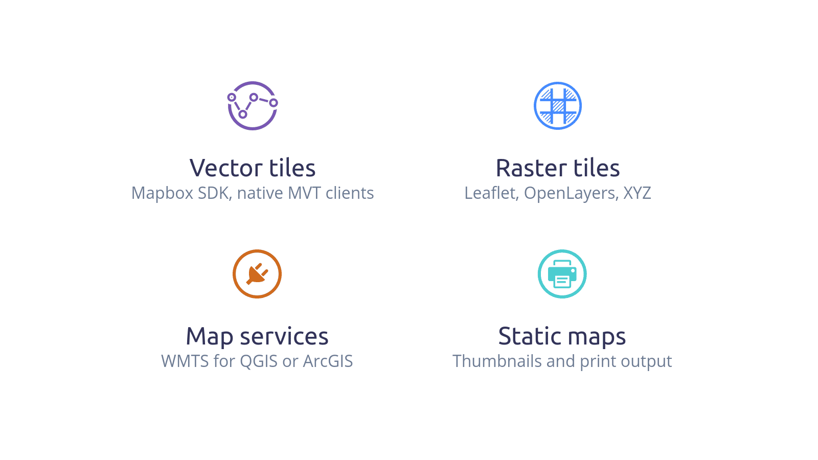 Use it with your favorite software
Hosting for your own geodata
For those who need to enrich your map with more complex data prepared in third-party software, MapTiler Cloud support upload of both vector and raster map tiles in MBTiles format.
If you have a pile of images you want to overlay over the map or you are just curious about this option, download the free version of MapTiler Desktop application, read the short intro and turn your image into a zoomable map in a few mouse clicks. Custom made campus plan on the Street map as a background
Powered by open-source and open-data
The hosting is run by a team who stays behind the popular OpenMapTiles project. This also means the core is based on this open-source software and we make a commitment to further development. The openness of our map hosting service is also in the data we provide, where our maps are based on weekly updated OpenStreetMap data.
If you decide to host your own maps with OpenMapTiles, you have an easy option how to download all the stuff you ever made. The only “vendor lock-in” we use is the quality of our services.
The only “vendor lock-in” we use is the quality of our services.
Running own map from robust infrastructure is always difficult from technical as well as financial point of view, but sometimes necessary for special requirements like an intranet or offline deployment. We support this option with our OpenMapTiles project, which provides pre-generated tiles and software for running a map.
Reliable infrastructure
MapTiler Cloud runs on a reliable global infrastructure, which is production use by our customers including big companies like IBM, Swiss Railways or Bosch, but also by many smaller organizations and individuals. We highly value every client and even if your company is not listed in Fortune 500, we will take the same care of you.
The service is running from global CDN with over 110 edge servers (POPs) on 5 continents to ensure minimal latency by selecting geographically closest server of a visitor. There are two fully redundant and automatically replicated core data centers in Western Europe and North America serving the map data. to split the traffic, but with an option to run independently. In both datacenters, we deploy a high-availability setup, with load-balancer actively triggering health checks and setting up failover to additional machines, which are launched to handle increased traffic and peaks. Our commitment in the service-level agreement is 99.9% availability.
If you want more information or you want directly use the service, visit www.maptiler.com and get the Free plan.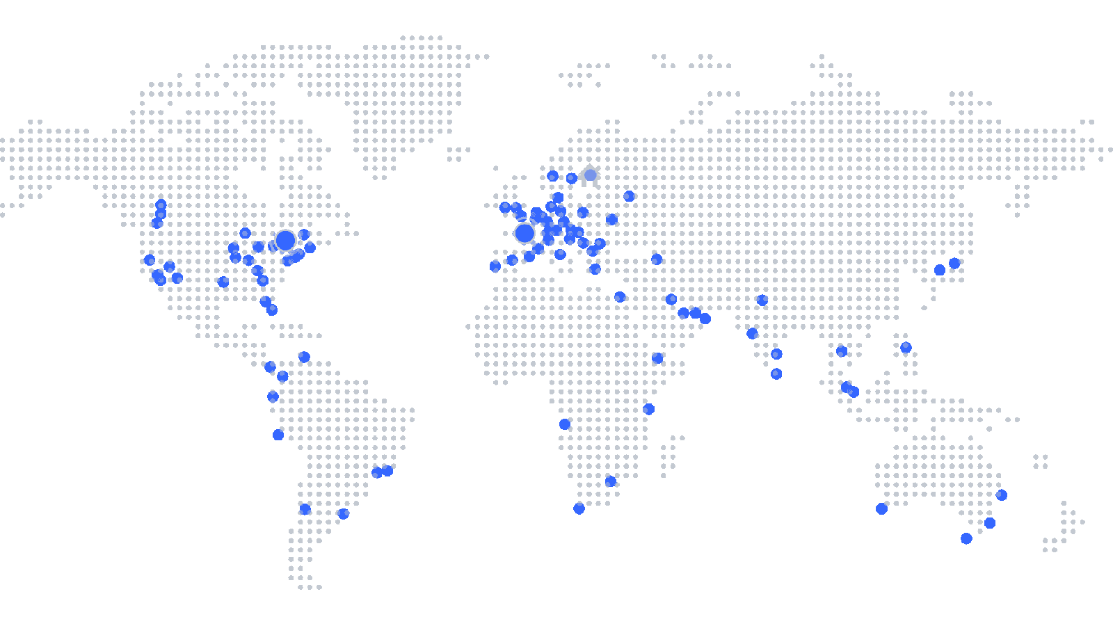 Two fully redundant and automatically replicated core data centers in Western Europe and North America
