Generate dynamic vector and raster tiles directly from your PostgreSQL database, enabling real-time visualization without data duplication or synchronization challenges.
Enhance standard map layers with your organization's proprietary data served in real-time from your PostgreSQL/PostGIS database. Create powerful, interactive visualizations that automatically reflect your latest database updates.
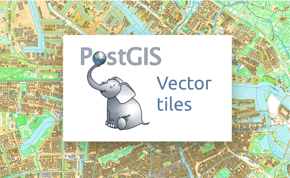
Leverage built-in PostGIS functions like ST_AsMVT and ST_AsMVTGeom to generate standard-compliant vector tiles directly from your database. Connect through our intuitive GUI for code-free setup, or use custom SQL queries for advanced requirements.
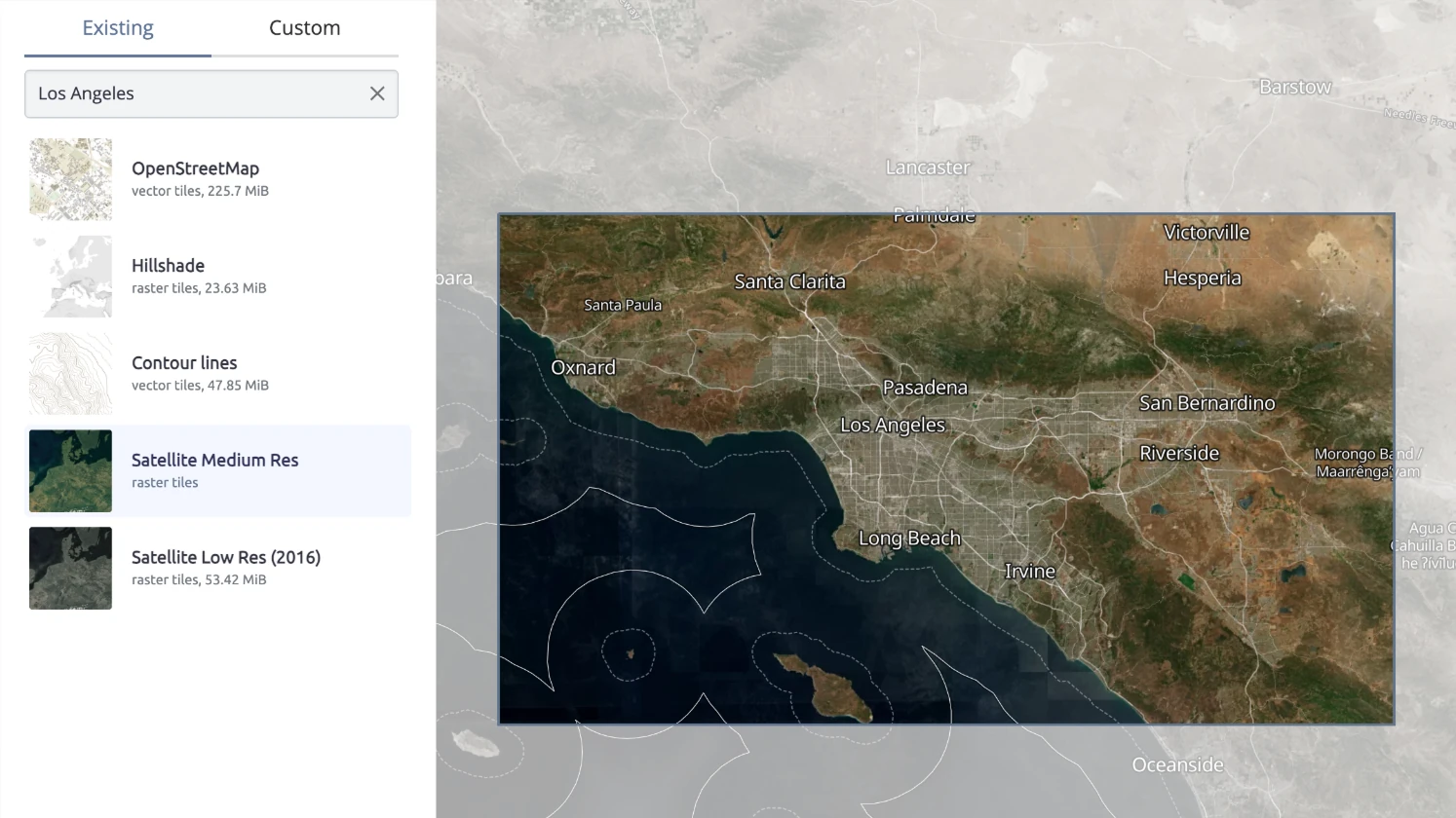
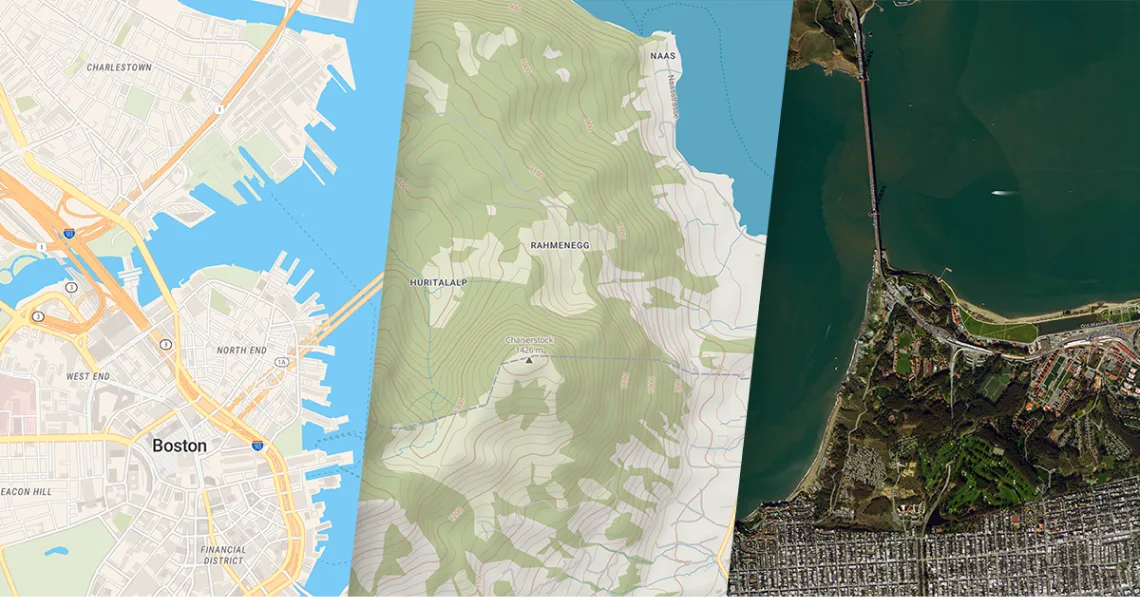
Get dynamic raster tiles on any Windows or Linux server, desktop, and laptop with base maps and your PostGIS data.
Compatible with Leaflet, OpenLayers, Tableau, and desktop GIS software.

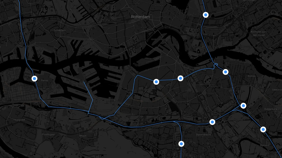
Load position of a truck or other asset from the PostGIS database and get regularly updated location.
Show real-time location of any fleet on top of a basemap as a vector tile.

Leaflet, OpenLayers, XYZ

WMTS and OGC Tiles API for QGIS or ArcGIS

Image for thumbnails
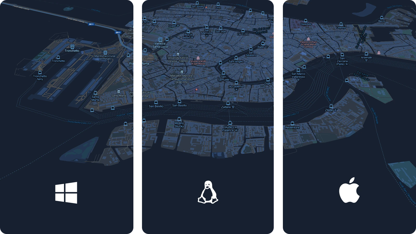
Available for Windows, macOS, Linux, Raspberry Pi, Docker, and Kubernetes.