MapTiler community, here’s a little gift to celebrate the foundation of MapTiler Inc. in the U.S. We’re delighted to announce a comprehensive refresh of aerial satellite imagery for all 50 states of America. This considerable update means a full implementation of 2021-2023 data with cutting-edge resolution ranging from 15-60cm/px.
Updated high-resolution aerial map of the U.S.
Continuous improvements and imagery updates are required to ensure your base map data sets are accurate. As time ticks on, so too do urban development projects, infrastructural changes, and landscape shifts — any map that fails to deliver up-to-date information is not fit for purpose.
Here are 3 examples showcasing important environmental changes, only possible with the new data being mounted on our visually appealing maps:
- Boston, Massachusetts, is known for its winding, atypical street layouts. There is also a lot of change and happening all the time. See how much more detailed the newer high-res images are.
- Sometimes it’s about more than just making a pretty map prettier. Those with a keen eye (you can’t miss it!) will see the appearance of the impressive, landmark SoFi stadium in this map of Inglewood, California.
- Satellite and aerial imagery can also be a powerful tool for documenting the ways that America’s landscapes are changing. You can see here how, in a very short space of time, this Carolina forest has made way for a large factory and quarry.
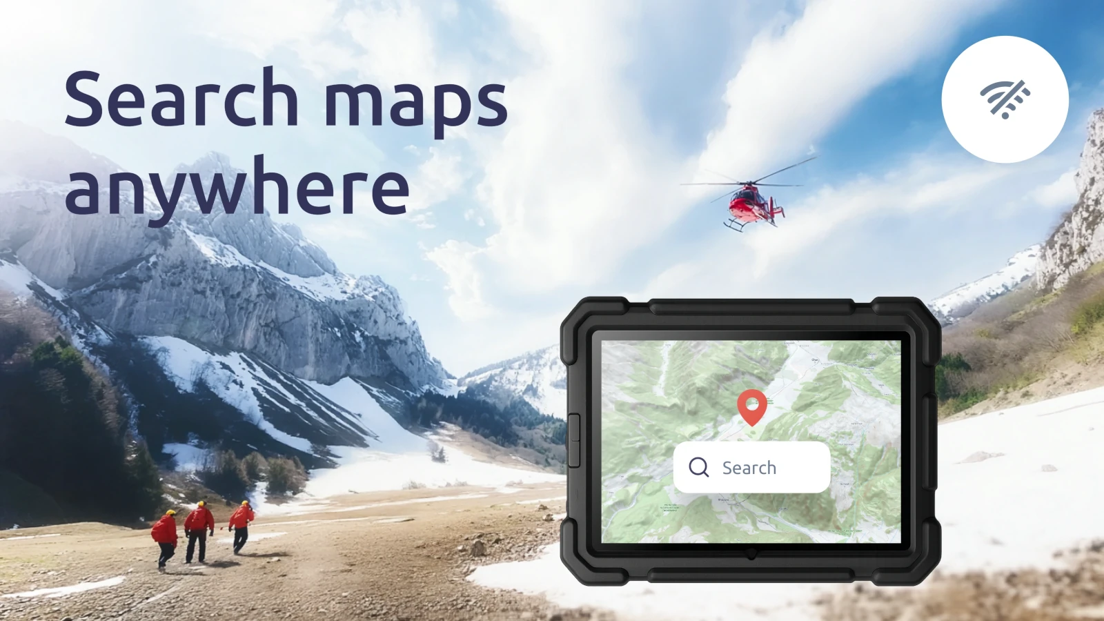
Aerial imagery for the U.S. via API or on-premises
Updating the aerial imagery data sets for 50 U.S. states is a major milestone, one that we’re very proud of. It’s now available online for users of MapTiler Cloud, our web-based platform, and also as a downloadable data package for MapTiler Server users, providing a secure, accessible, and reasonably priced (!) self-hosted solution
Enjoy this video highlighting some of our favorite locations: