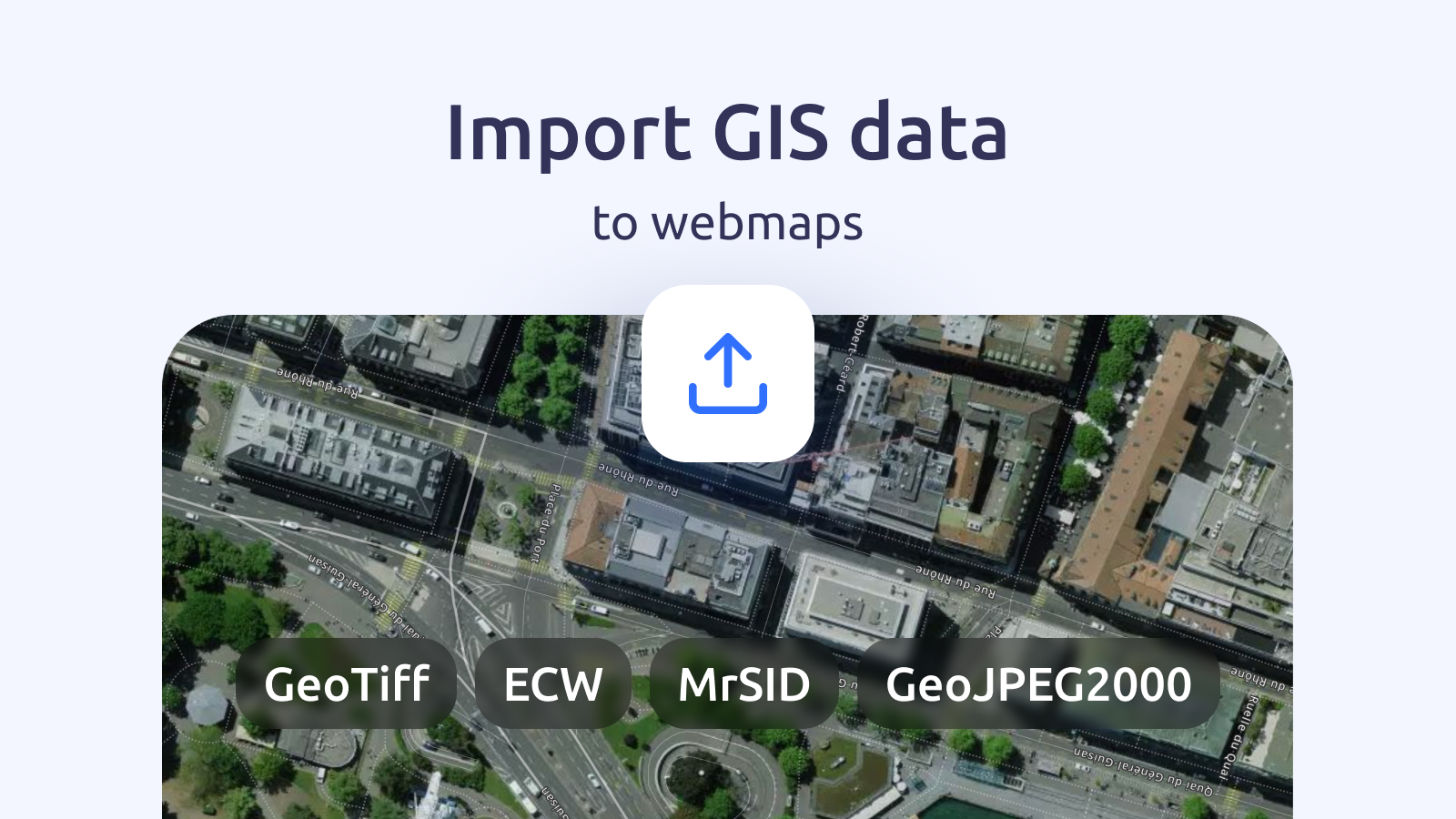
Getting your scanned maps, aerial imagery, and other GIS data onto the web is easier than ever! We’ve improved the data upload interface in MapTiler Cloud to accept commonly used raster formats as well as existing vector formats like Shapefile and GeoPackage.
- You can now upload Geotiff, GeoJPEG2000, MrSID, ECW
- Once uploaded, your files are ready to use on the web
- Our user-friendly upload form makes the whole process really easy
All you need to do is go to the Tiles section of your account and click on the New Tileset button.
Create a free account Upload data now
Upload maps to the web
We’ve enabled the most commonly used raster formats for spatial data to our Upload facility. So now you can upload files in any of the following formats:
- GeoTiff
- ECW
- MrSID
- GeoJPEG2000
Coupled with support for vector formats like ShapeFile, GeoPackage, GPX, KML, MBTiles, and GeoJSON, you can quickly turn data from your GIS or Earth Observation projects into web maps that can be shared with the rest of the world! Find out all the formats and file sizes in our documentation.
Convert Rasters to Spatial Data
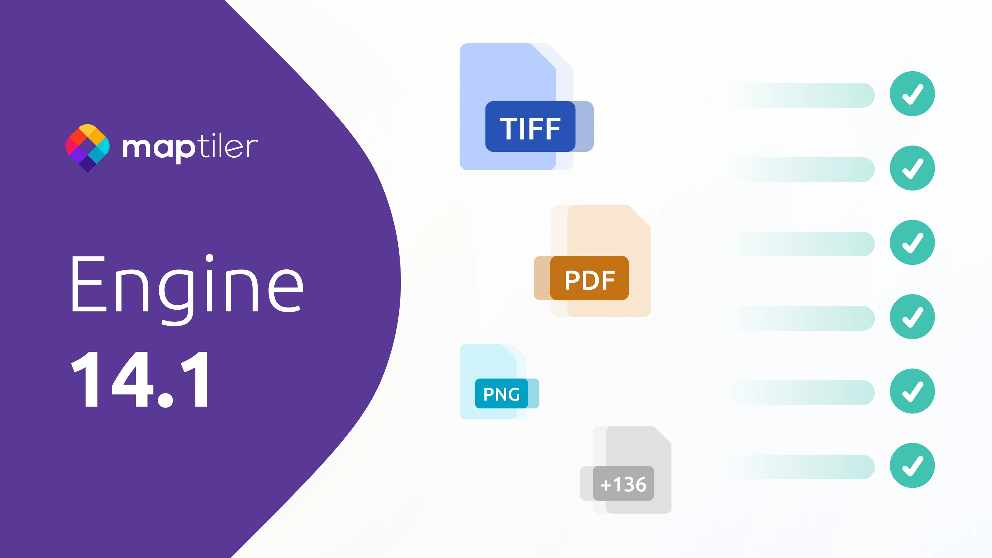
If your raster data isn’t spatial, for example, it's still a regular Tiff or JPEG and not a Geo one, use MapTiler Engine to convert it and upload it to the Cloud. MapTiler Engine converts huge and complex datasets into web-ready spatial data quickly and easily. Find out more on the MapTiler Engine page.