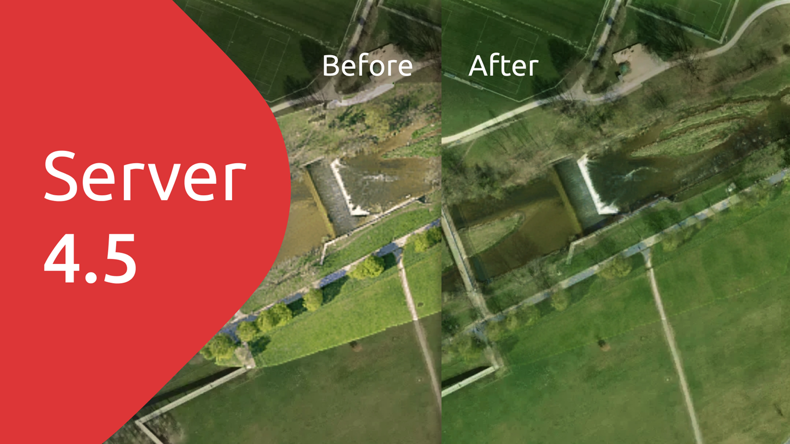
MapTiler Server 4.5 is out, and you can now benefit from:
- Blending imagery from different datasets into one layer
- Updated compatibility with different Operating Systems
Use Virtual Tilesets to share beautiful maps
Combining multiple datasets into a single tileset that you can serve to your users greatly simplifies workflows. It also improves map loading times and gives you a chance to create a much more seamless and great-looking result.
Our Virtual Tileset technology lets you blend layers like our satellite imagery with your own high-resolution aerial images or drone photography beautifully. By including a color-toning process, you can add a few lines of code to adjust and unify the appearance of the data sources as they are combined in the virtual layer.
Please note that Virtual Tilesets are not currently available on macOS. We’ll update you when this becomes possible.
Updates to Operating System Compatibility
In order to keep up with the latest technology and to allow us to bring you advances such as the Virtual Tilesets, we need to update some of our underlying libraries and packages. Along with the benefits this brings, it can also mean that some older operating systems will no longer be compatible with the latest version of MapTIler Server. With the release of Server 4.5, these are the new minimum requirements for the operating systems that it will run on:
- Linux
- Ubuntu 20.04+ (primary support)
- Debian 10 (tested)
- RHEL 8 (tested)
- Fedora 37+ (tested)
- Centos 9+
- Mint 6 or 20+
- Windows
- Windows 10+
- Windows Server 2019+
- macOS 10.15+ (without map rasterization & virtual tilesets; limited support)
- Docker
