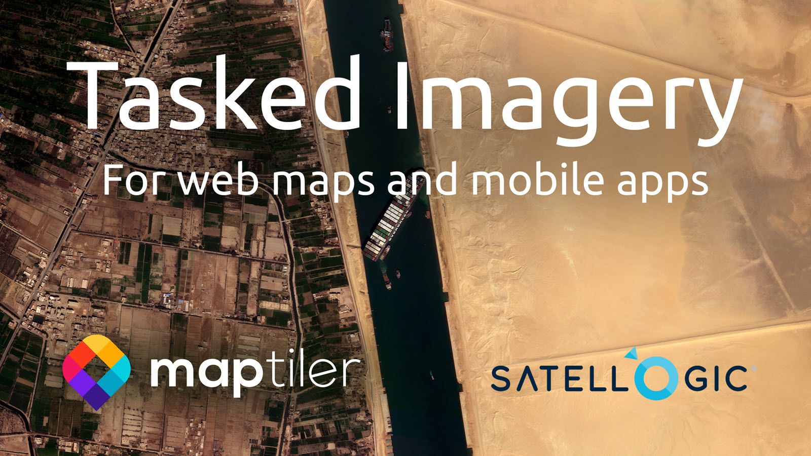
MapTiler customers can now request sub-meter satellite imagery for specific areas of interest anywhere on earth! The imagery can be delivered as pre-rendered map tiles hosted on MapTiler Cloud for use on the web or mobile apps, or used on-premise or offline with MapTiler Server.
We’ve partnered with Satellogic, a disruptor in the satellite imagery space, with the goal of commodifying satellite imagery. We have set up a process with transparent pricing and data delivery formats that make tasked imagery accessible for use in web maps.
For those who want imagery as raw GeoTIFFs, which are more useful for analysis, we can deliver those too!
Get in touch now to start receiving the Satellogic imagery you need!
High-frequency, detailed satellite imagery
With the Satellogic constellation offering multiple revisits per day, week, month, or year to any site on earth! Your organization can now monitor developing situations, from wildfires to critical assets and infrastructure.
Tasked imagery from Satellogic can be requested for a Point of Interest, where you get a 5x10km image with your location at the center or an Area of Interest to cover a larger area. All images come with a guaranteed maximum of 20% cloud cover.
MapTiler makes it easy for you to deploy this imagery to where your users will see it! The opportunities to enhance decision-making processes and the quality of the basemaps your users see are amazing. Satellogic imagery features:
- Global coverage,
- Sub-meter resolution on multi-spectral imagery
- Up to 4 daily revisits
- Maximum 20% cloud cover
Your imagery served as you want it
We provide easy integration of tasked imagery with MapTiler Cloud for hosting & serving web-based applications or deployable on-premise or offline with MapTiler Server.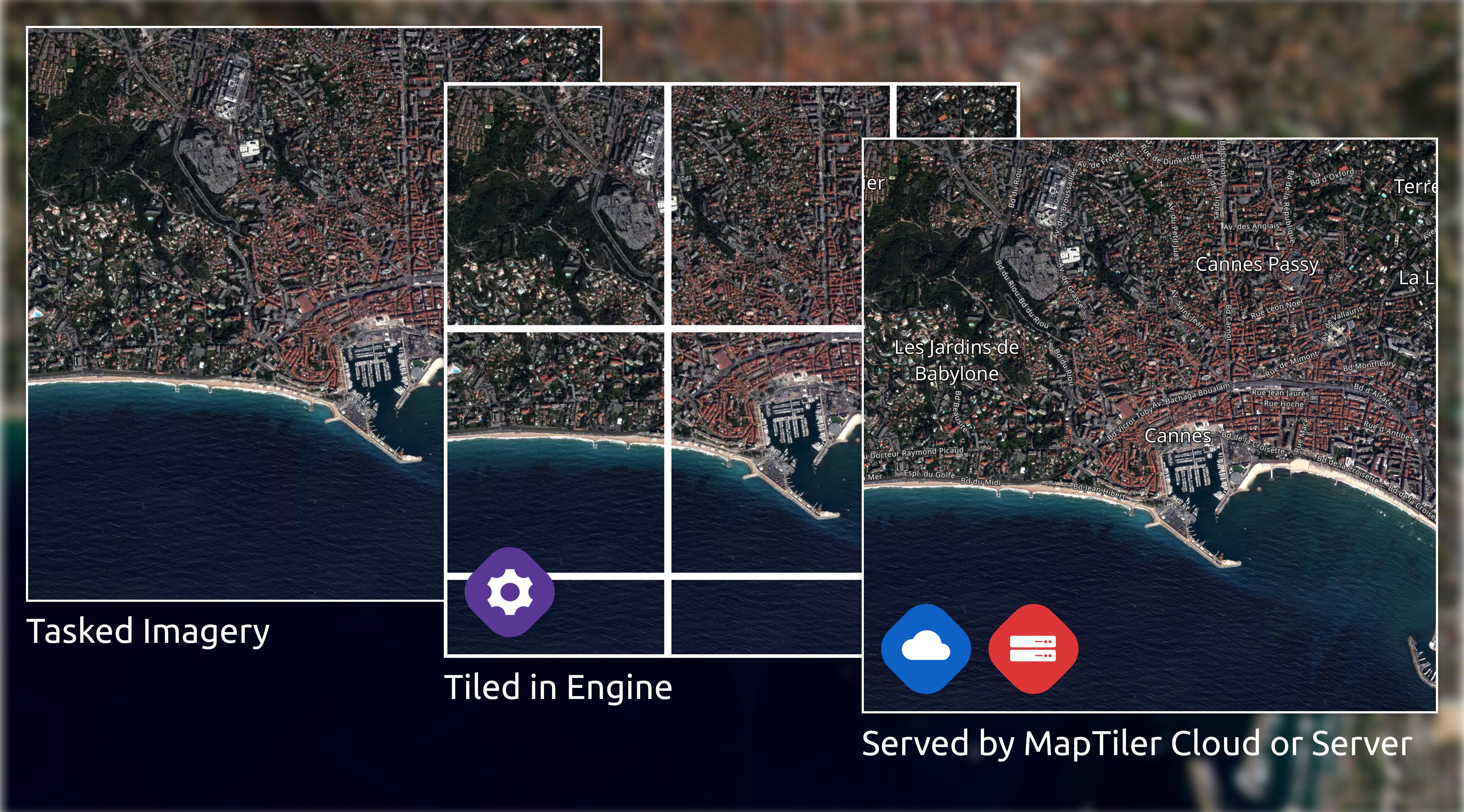 MapTiler brings:
- Tiling software (MapTiler Engine)
- Global & high-performance hosting & serving capability with MapTiler Cloud or MapTiler Server for offline / on-premise options.
- Easy integration into your web/apps with Javascript APIs & SDKs
Contact us now to start getting up-to-date, detailed imagery for your maps and apps.
