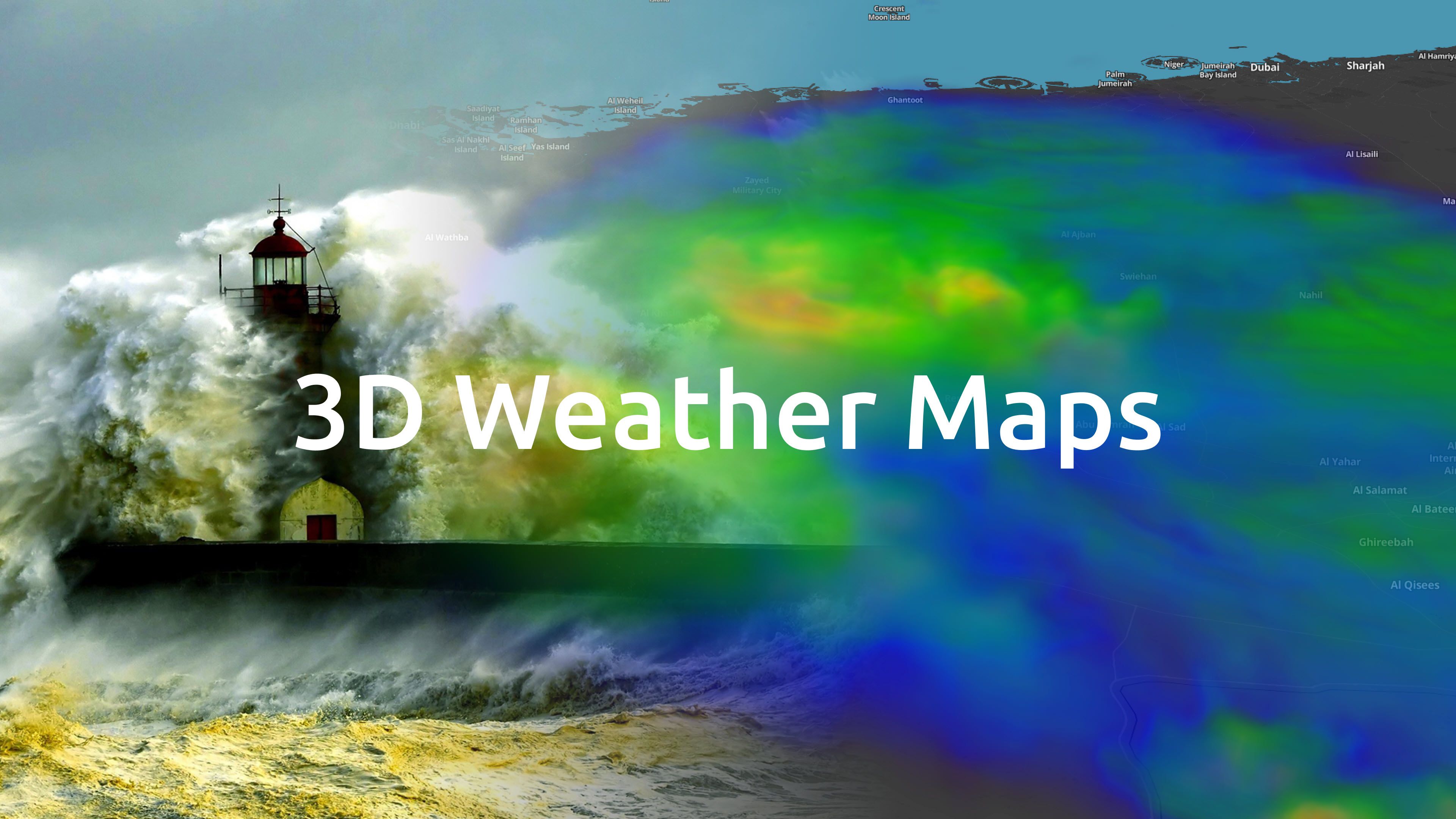
3D Radar visualizations are now possible with MapTiler Weather, letting you take your weather maps to a new level.
Millions of people check weather forecast maps daily. Make sure your users benefit from this cutting-edge feature of our next-generation javascript library, made for rendering weather data as 60FPS animations directly in a web browser.
Interactive 3D radar
Imagine tracking hurricanes or tornadoes in 3D across space & time, and then pausing the animation to look inside the storm cells… why don’t you try it yourself!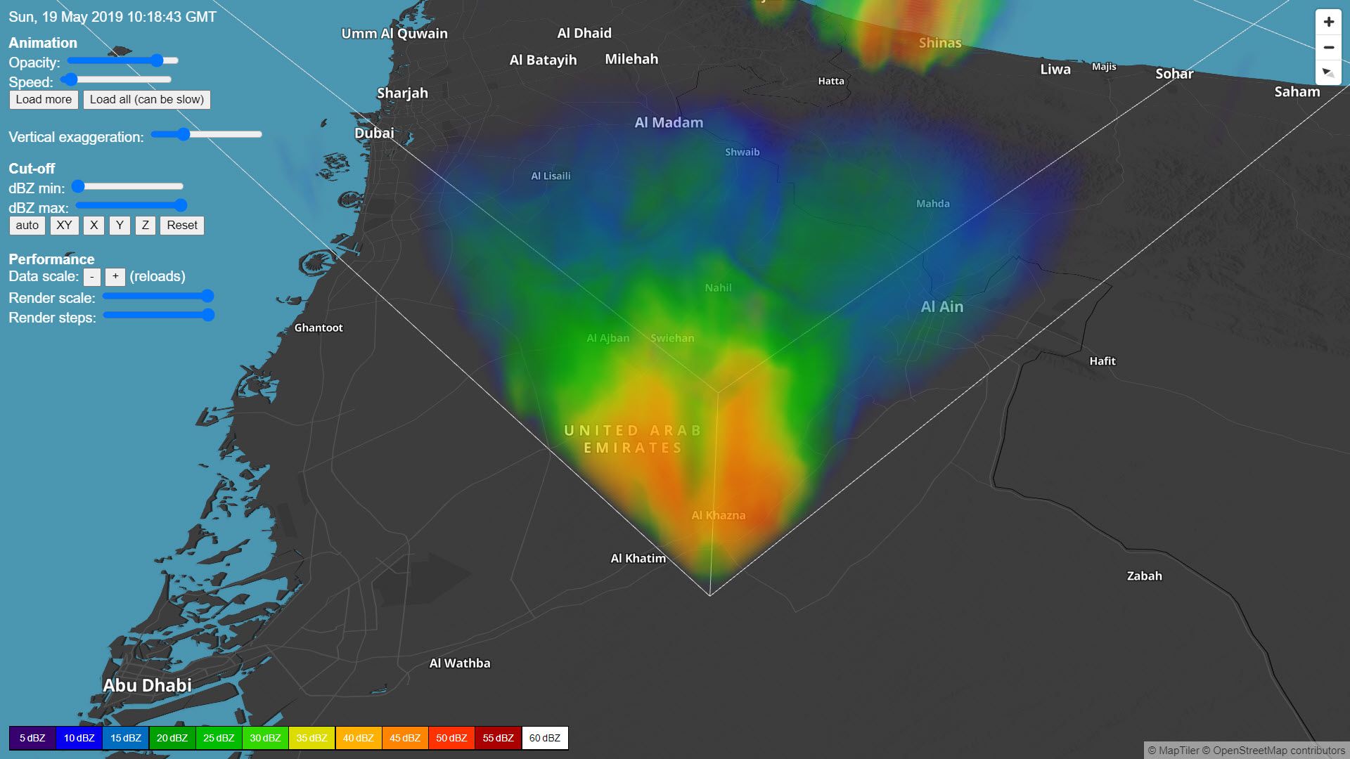
With MapTiler Weather, your users can immerse themselves in your weather maps. The 3D radar user interface is optimized for web browsers and touch-display devices.
High-resolution weather data
Your maps are only as good as your data; this is especially important for 3D radar. To make the best visualizations, high-resolution imagery with many vertical layers are critical.
We’ve partnered with a premier weather data provider, Meteomatics, to give you extremely precise local forecasts, with a resolution down to a few hundred meters!
Weather data is the fuel for these visualizations, and we have taken the hard work out of sourcing the best data for your applications.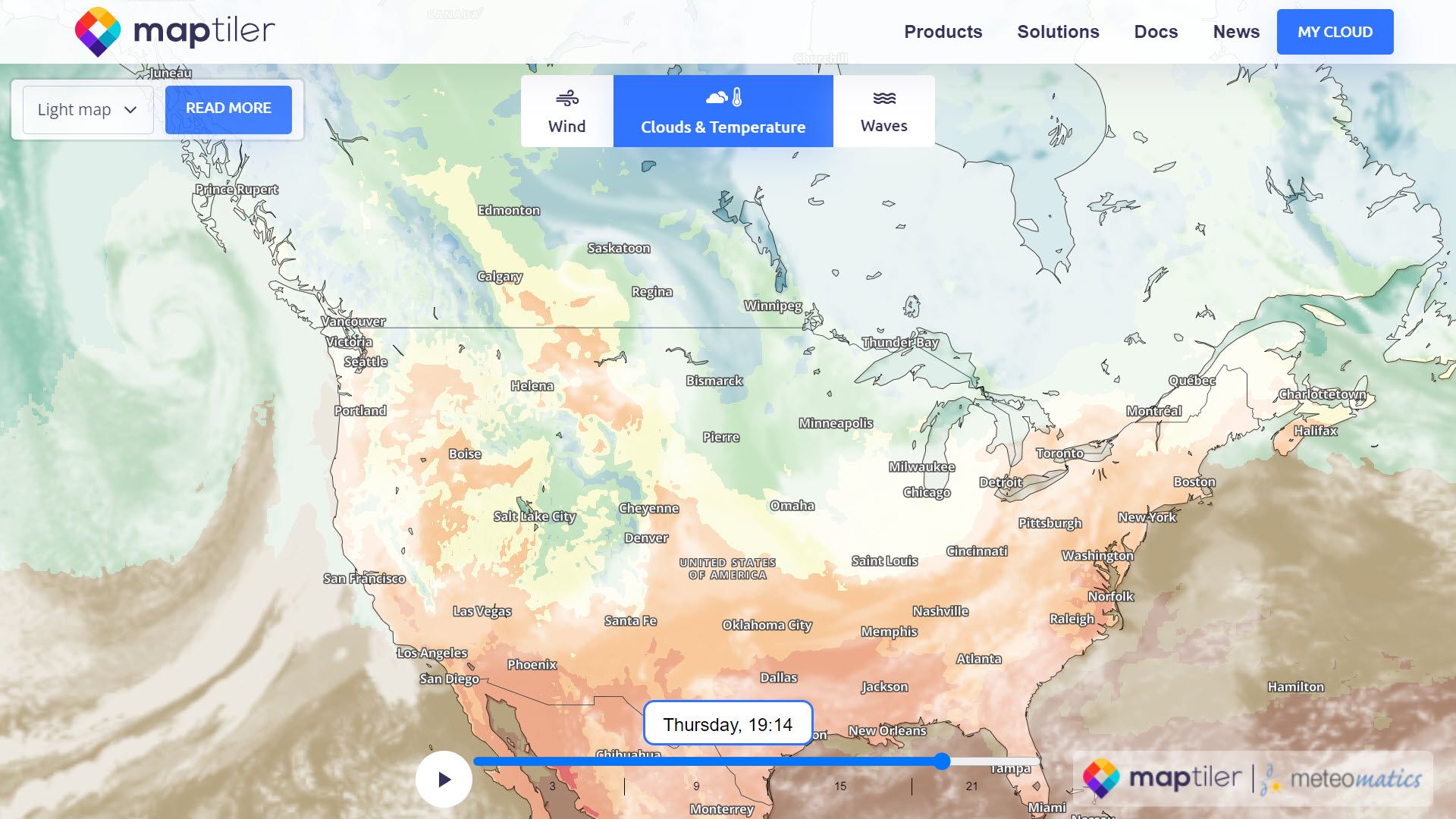 If you want to start making weather maps now, then get in touch:
