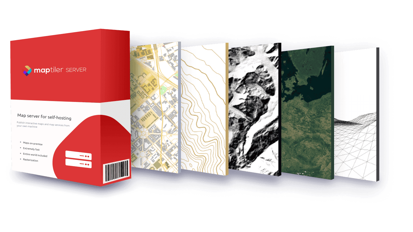
Street, satellite, and terrain maps of the entire world can easily run from your server, private cloud, virtual machine, or laptop. Serve global maps online, behind firewall, or completely offline with the new MapTiler Server.
Global maps on-premise
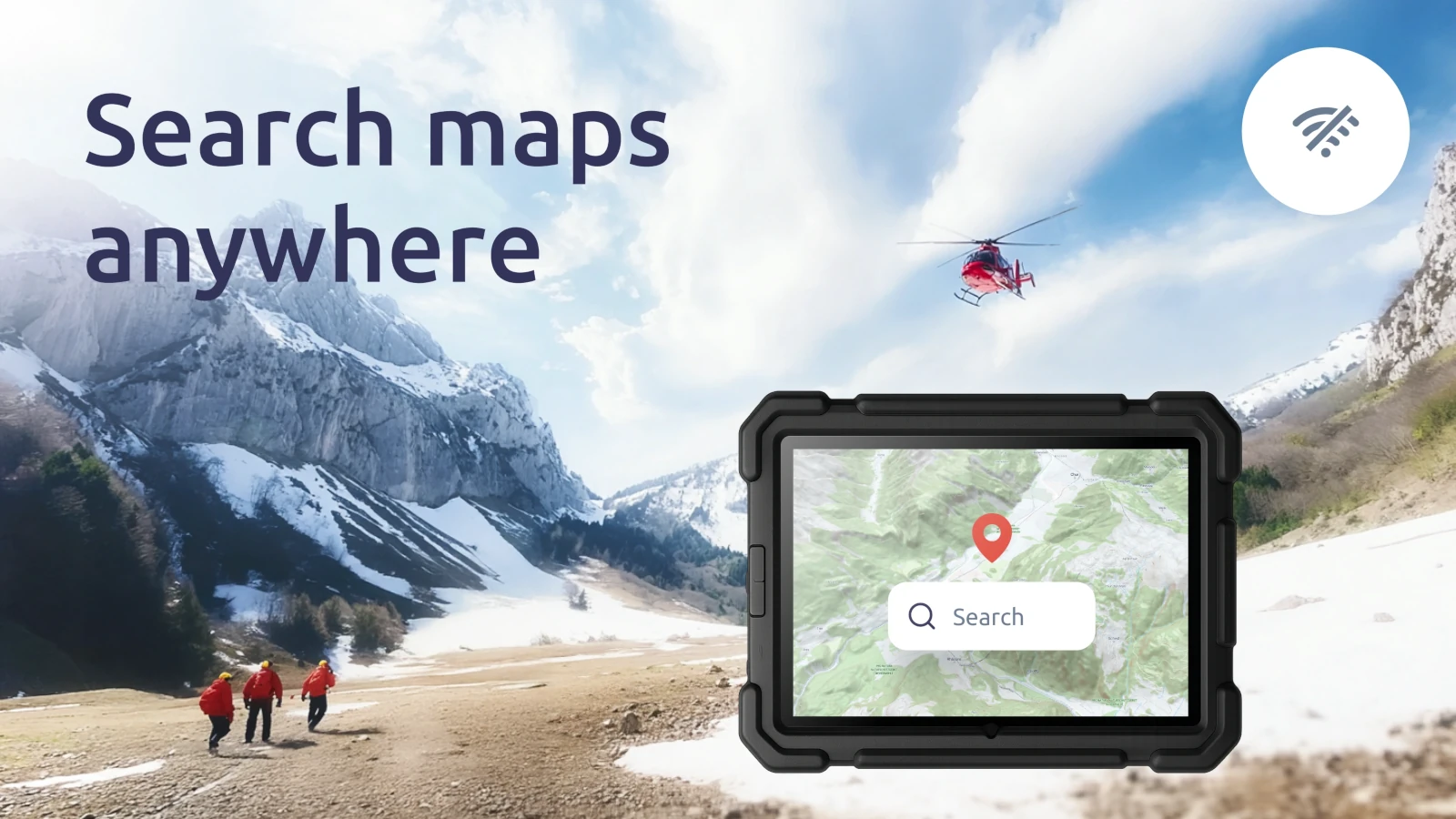
Maps can be used behind firewall in a closed company’s environment or completely offline in place where is no internet connection or connecting to the internet is prohibited for security reasons.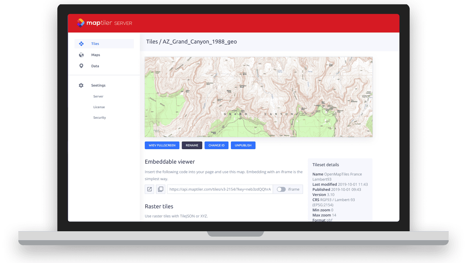 Comfortable web administration allows all operations with the map - (un)publishing your datasets, getting code for your viewers, and all administration of the server.
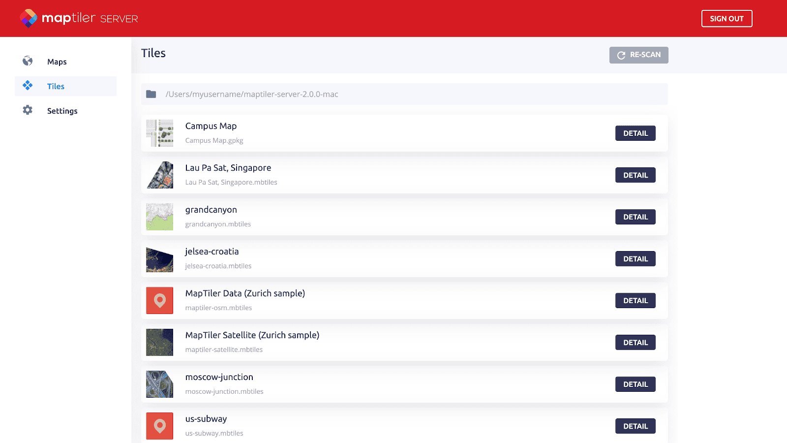 MapTiler Server is available for Linux (.deb, .rpm, .AppImage packages), Windows, and macOS as a single file installer.
Package of global geodata together with software
Streets, satellite & terrain geodata for the entire world can be easily downloaded from our new MapTiler Data service. Select a region, whole country, or the entire planet, download it to your machine, drag & drop it to the selected folder and your data are ready to be served.
There are beautiful map styles available or you can create your own.
For more info, learn how to add your data to MapTiler Server and how map styles work.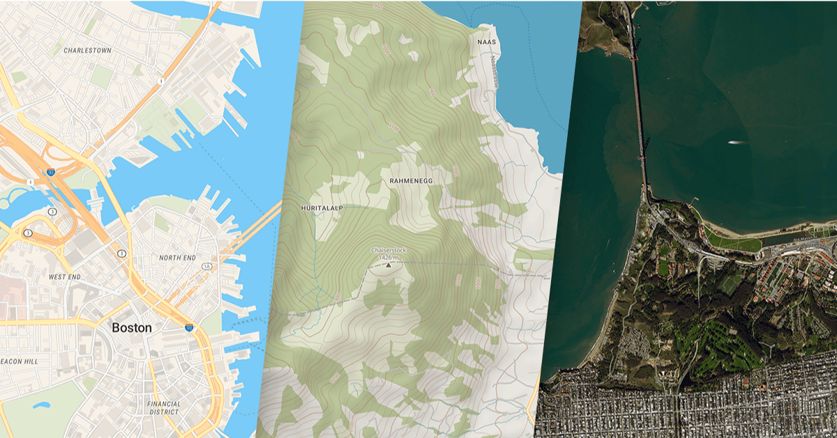 You can also add your own geodata tiled in the MBTiles or GeoPackage format.
Data are regularly updated, for higher comfort the production package offers a script which automates this task.
Map services & raster tiles compatibility
Your map can be directly used in web services via vector and raster JavaScript viewers including Leaflet, OpenLayers, Mapbox GL JS, and mobile SDKs on both Android and iOS.
Compatibility with desktop GIS sofware like ArcGIS and QGIS is provided via the OGC WMTS standard service.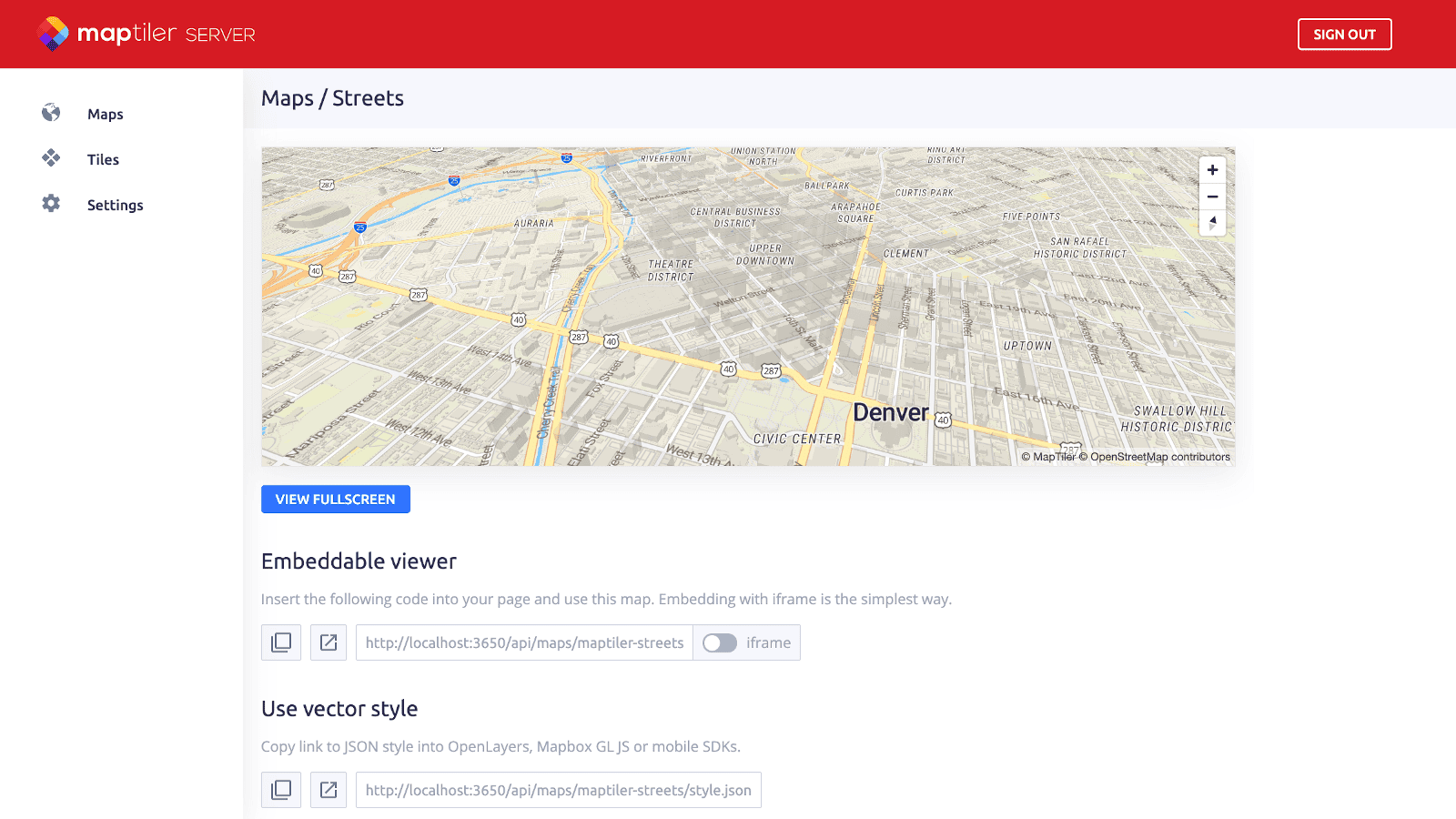 The MapTiler Server 2.0 is a full replacement of the obsolete OpenMapTiles Server. It offers the same functionality with much faster response time and lower hardware requirements.
Get it now
Download MapTiler Server for Linux, Windows, and macOS for free or contact sales for the production use.
