Klokan Technologies is pleased to announce the launch of a new version of MapTiler (0.5.2). For the first time this version includes georeferencing functionality, which allows to turn an image without any geographical information into a real map. It has never been easier! All our customers are being upgraded now.
What do new features of MapTiler 0.5.2 include?
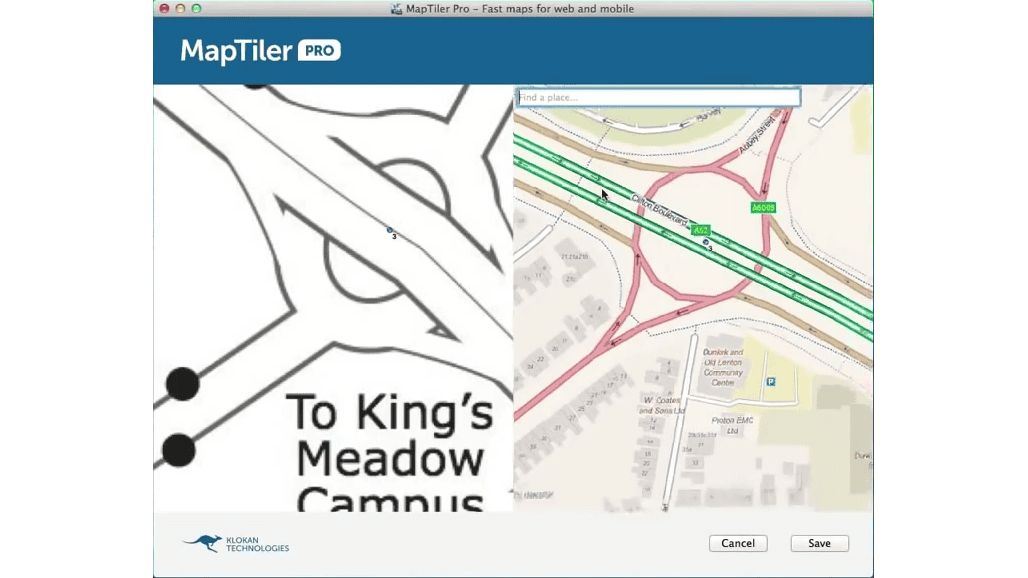
- Georeferencing visually with GCPs (initial version)
- Mac OS X 10.9 Mavericks full support
- Windows installer for both 32bit and 64bit versions
- Restored broken support of Windows XP SP3
- Several bug fixes and smaller improvements
We also prepared new MapTiler tutorial
What are the planned goals for MapTiler in 2014?
Here are some of the plans and new features which we work on:
- OGC GeoPackage as an output
- Easier selection of coordinate systems (EPSG) and tiles in local grids
- Mobile applications (Android / iOS) with open source code
- Improved TileServer.PHP and WMTS hosting
- Direct support for rendering retina tiles (512x512px)
- Enhanced interface for visual georeferencing and clipping with cutline
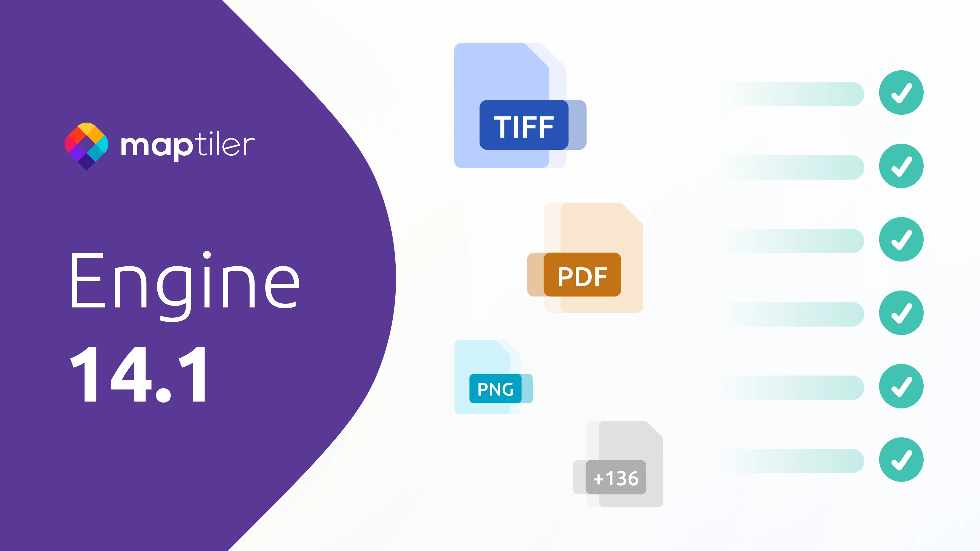
- New input formats (GeoPDF, etc)
- Updating the existing tilesets with new files - with rendering on top of the tiles.
Moreover, a new hosting technology for very large map tilesets is now being tested - with CDN cache and delivery from over 20 servers all over the world, support for WMS, WMTS, and secure HTTPS protocol and unlimited transfers of the published maps.