Winter maps for outdoor activities
Maps for developing skiing, snowboarding, and other winter activity apps.
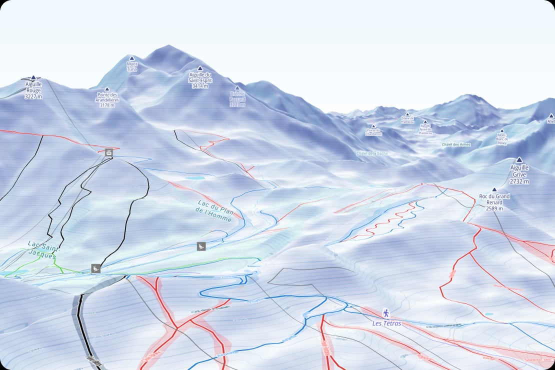
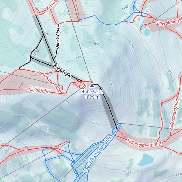
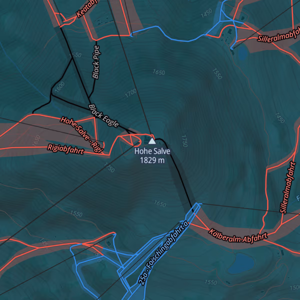
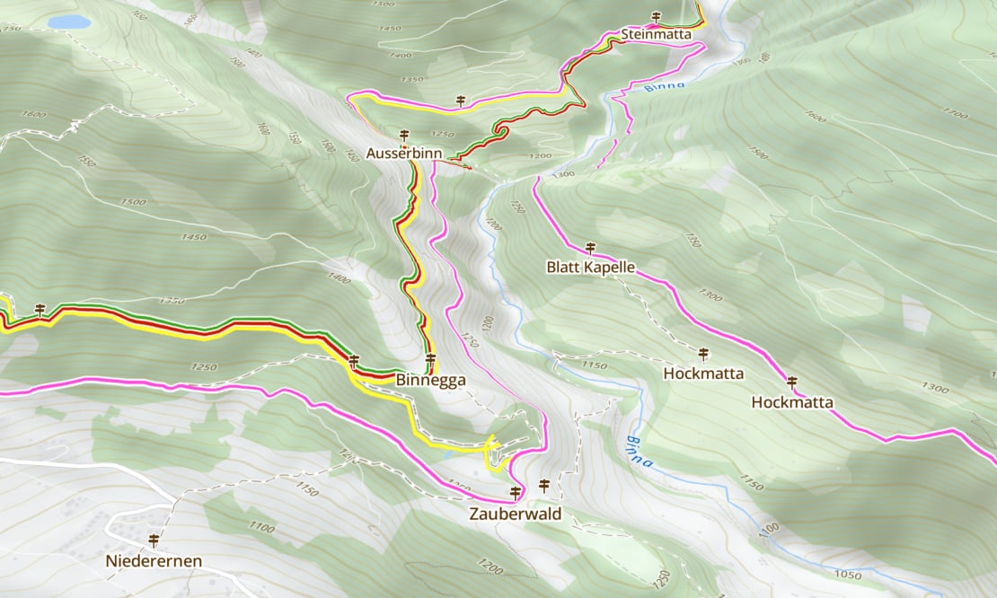
Pistes and routes
Downhill routes with ratings and cross-country trails already on the map.
Points of Interest
Ski lifts, rental shops, après ski, and more, all clearly marked on the maps.
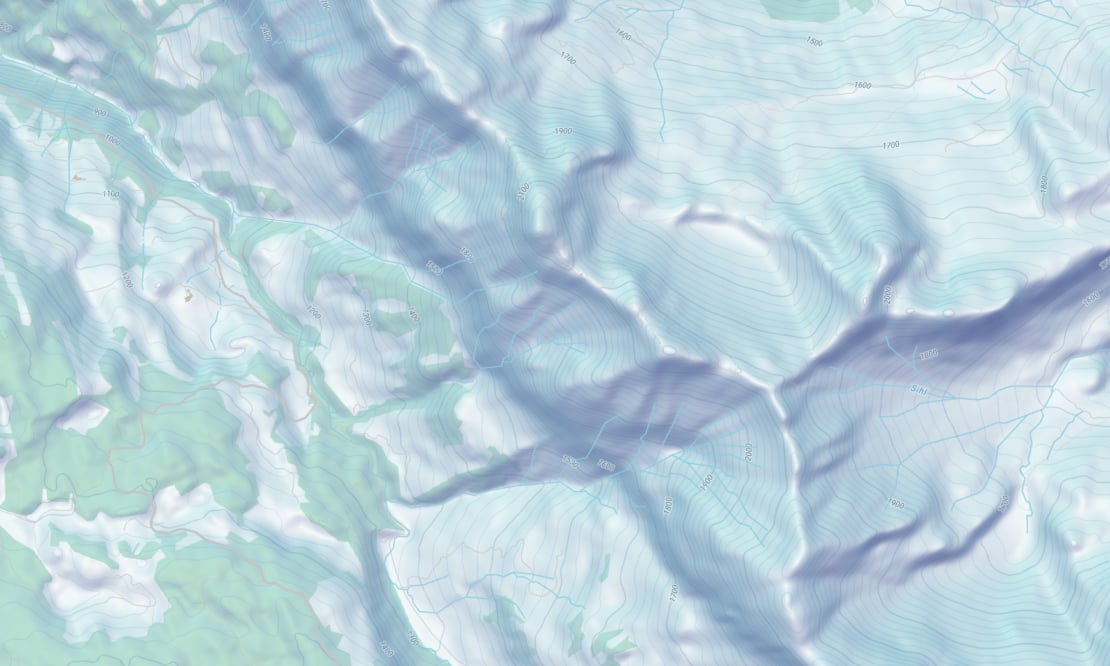
Terrain and contour lines
Understand the steepness of the slopes and wider terrain with detailed hillshading and contour lines.
Ski resort maps for developers
Creating a resort map, a piste guide app, or plotting your daily runs is easier and more effective when you have a beautiful winter basemap to get you started.
The winter map highlights ski runs and lifts, with points of interest like snow parks, skating, and avalanche zones.
All you need to do is embed them in your website or app, and add your data on top!
Dark and default maps for winter activities
High-resolution terrain for ski maps
Enjoy more realistic 3D visualizations and precise profile measurements with our high-resolution terrain. It's available with a resolution of up to 5 meters in selected European countries.
We've even smoothed the transition at the borders by connecting and processing the different data sources together.
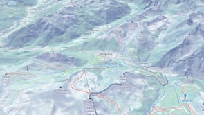
Outdoor maps
The summer Outdoor map pairs perfectly with the Winter map, designed for warm-season activities. Switch between them seamlessly and use them year-round.
Available as:


Start using Winter via Maps API
https://api.maptiler.com/maps/winter-v4/?key=YOUR-API-KEY