Create and publish your own maps with
MapTiler Maps API
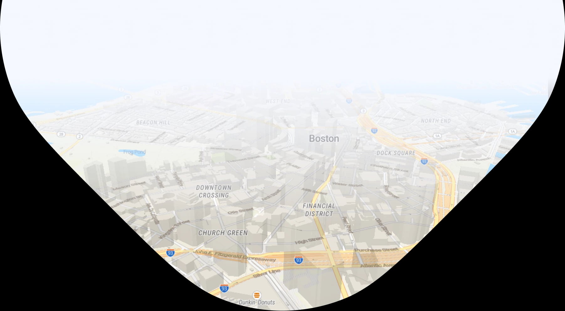
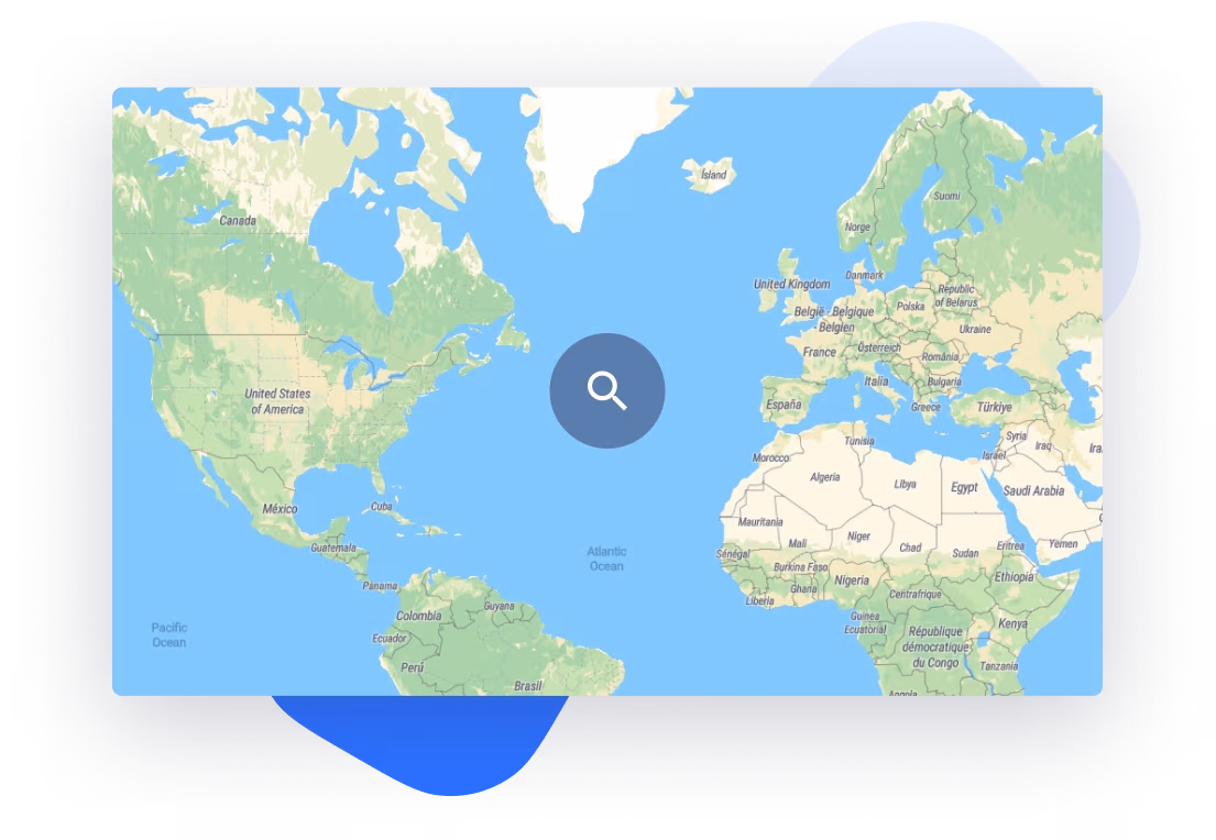
Explore our maps
Street and satellite maps of the entire world are ready for customization and integration with your business. Change colors and fonts to perfectly match your brand, or even upload your own tiles for map hosting from a reliable infrastructure.
Available hosting functions


Thousands of organizations like yours have chosen MapTiler.
Over 50 million people use our maps every month!
Data attribution
Each map layer has the different data sources. Those are described below. If you have your own data and you need to process them for the web or mobile, try the MapTiler platform.
OpenMapTiles and OpenStreetMap data
Our maps and services are powered by OpenStreetMap data - built by a community of mappers that contribute and maintain data about roads, trails, cafés, railway stations, and much more, all over the world.
OpenStreetMap is open data, licensed under the Open Data Commons Open Database License (ODbL) by the OpenStreetMap Foundation (OSMF).
We regularly (typically weekly) update the maps with fresh modifications from OpenStreetMap.
We are using the OpenMapTiles open-source project, which we originally created and continue to actively develop.
According to the OpenMapTiles license, all products or services using maps derived from OpenMapTiles schema must visibly credit "OpenMapTiles.org" or reference "OpenMapTiles" with a link to http://openmaptiles.org/. For MapTiler.com hosting we have a written legal permission from MapTiler AG to replace the visible credit with MapTiler and a link to this page.
Our maps must always visibly show attributtion:
© MapTiler © OpenStreetMap contributors
Country specific data
In some cases we serve map tiles or geospatial services derived from opendata released by local government bodies.
- United Kingdom - Open Government Licence (OGL): Contains OS data © Crown copyright and database right 2019. Contains Royal Mail data © Royal Mail copyright and Database right 2019. Contains National Statistics data © Crown copyright and database right 2019
- The Netherlands - © Dutch government: PDOK.nl
- Geographical Survey Institute Japan
- Ministerio de Economía, Fomento y Turismo, Chile
- Instituto Nacional de Estadísticas, Chile
- Contains Ordnance Survey data © Crown copyright and database right 2023. Open Government License
- Contains Royal Mail data © Royal Mail copyright and database right 2023. Open Government License
- Contains National Statistics data © Crown copyright and database right 2023. Open Government License
- © swisstopo Terms of use for free geodata and geoservices (OGD) from swisstopo
- Instituto Brasileiro de Geografia e Estatística
- Geonames.org
- United States Census Bureau
- Texas geographic information office
- Sacramento County GIS
- NYS GIS Clearinghouse
- Centro de Descargas, Spain
- GovData, Germany
- IGN, France
Landcover
Contains datasets made by ESA and the consortium as a part of ESA Climate Change Initiative and in particular its Land Cover project as the source of the CCI-LC database.
© ESA LandCover © ESA Climate Change Initiative - Land Cover led by UCLouvain (2017)
Contains information licensed under the Open Government Licence – Canada
Cartographic content is derived from USGS national geospatial databases
GLIMS and NSIDC (2005, updated 2018): Global Land Ice Measurements from Space glacier database. Compiled and made available by the international GLIMS community and the National Snow and Ice Data Center, Boulder CO, U.S.A. DOI:10.7265/N5V98602
Satellite
MapTiler Satellite and derivates maps contain datasets from:
- © NASA’s Earth Observatory Modified by MapTiler team
- © NASA's Goddard Space Flight Center
- © Maxar
- MapTiler own data
- Ministrstvo za naravne vire in prostor - CC-BY-4.0 Modified by MapTiler team
- Barcelona Metropolitan Area - CC-BY-4.0 Modified by MapTiler team
- National Land Service Lithuania - CC-BY-4.0 Modified by MapTiler team
- Beeldmateriaal Nederland - CC-BY-4.0 Modified by MapTiler team
- Geodatenportal Sachsen-Anhalt - DL-DE/BY-2.0 Modified by MapTiler team
- Republika Hrvatska, Državna Geodetska Uprava Modified by MapTiler team
- York Ontario Region
- City of Regina
- Gouvernement du Québec - CC-BY-4.0 Modified by MapTiler team
- Contains information licensed under the Open Government Licence – City of Ottawa
- City of Mississauga Open Licence
- GeoPortal MV - CC-BY-4.0 Modified by MapTiler team
- Landesamt für Vermessung und Geoinformation SH - CC-BY-4.0 Modified by MapTiler team
- Geoportal Niedersachsen - CC-BY-4.0 Modified by MapTiler team
- Contains information licensed under the Open Government Licence – Toronto
- City of Brampton - CC-BY-4.0 Modified by MapTiler team
- Geoportal Thueringen - DL-DE/BY-2.0 Modified by MapTiler team
- Geoportal Bremen - CC-BY-4.0 Modified by MapTiler team
- Contains information licensed under the Open Government Licence – City of Edmonton
- Contains information licensed under the Open Government Licence – Winnipeg
- Landesamt für Geoinformation und Landentwicklung Baden-Württembe - DL-DE/BY-2.0 Modified by MapTiler team
- HVBG Hessen - DL-DE/BY-2.0 Modified by MapTiler team
- Contains information licensed under the Open Government Licence – Vancouver
- OpenGeodata NRW - DL-DE/BY-2.0 Modified by MapTiler team
- Landesamt für Vermessung und Geobasisinformation Rheinland-Pfalz - DL-DE/BY-2.0 Modified by MapTiler team
- Landesamt für Vermessung, Geoinformation und Landentwicklung - DL-DE/BY-2.0 Modified by MapTiler team
- Bundesamt für Eich und Vermessungswesen - CC-BY-4.0 Modified by MapTiler team
- MSDIS
- NG911 Kansas
- National Cadastre and Mapping Agency S.A. - CC-BY-3.0 Modified by MapTiler team
- KyFromAbove
- URI Environmental Data Center and RIGIS - CC-BY-4.0 Modified by MapTiler team
- Open Data DC - CC BY 4.0 Modified by MapTiler team
- © State Government of NSW and Spatial Services (DCS) - CC-BY-3.0 Modified by MapTiler team
- Geodenmark - CC-BY-4.0 Modified by MapTiler team
- © Swisstopo
- Landesvermessung und Geobasisinformation Brandenburg - DL-DE/BY-2.0 Modified by MapTiler
- Centro Nacional de Información Geográfica - CC-BY-4.0 Modified by MapTiler
- Republic of Estonia Land Board
- GKÚ Bratislava
- Republika Hrvatska, Državna Geodetska
- Geoportal PL
- Stadt Wien - CC-BY-4.0 Modified by MapTiler
- Luxembourg government's Open Data - CC-0
- Indiana GIO - CC-0
- The luxembourgish data platform CC-0
- Agentschap Digitaal Vlaanderen
- Federal Agency for Cartography and Geodesy (BKG) - DL-DE/BY-2.0 Modified by MapTiler
- Informação geográfica cedida pela Direção-Geral do Território - CC-BY-4.0 Modified by MapTiler
- © IPR Praha - CC-BY-SA-4.0 Modified by MapTiler
- Saxen.de - DL-DE/BY-2.0 Modified by MapTiler
- National Land Survey of Finland - CC-BY-4.0 Modified by MapTiler
- Landesbetrieb Geoinformation und Vermessung (LGV) Hamburg - DL-DE/BY-2.0 Modified by MapTiler
- © GDI-Th
- © IGN - Licence Ouverte Etalab (Etalab Open License) Modified by MapTiler
- Copernicus
- Land Information New Zealand - CC-BY-4.0 Modified by MapTiler
- GIS Města Brna
- Basemap.at
- Spanish National Orthophoto Program (PNOA) CC-BY-4.0 ign.es
- USGS EROS Archive - Aerial Photography - These data are distributed by the Land Processes Distributed Active Archive Center (LP DAAC), located at USGS/EROS, Sioux Falls, SD
The map layer is a result of the team work of MapTiler AG and MapTiler s.r.o. We collected the imagery, did a color adjustment, sharpening, and tile rendering with the MapTiler Engine software.
The original (almost) cloudless map is produced by our partner EOX IT Services GmbH who did the processing of the raw global ESA Copernicus Sentinel-2 satellite imagery collected during the summer 2016/2017 and produced the Sentinel-2 cloudless map.
Cadastral maps
Cadastral maps copyright holders:
Kanton Aargau Departement Finanzen und Ressourcen, Informatik Aargau AGIS Service Center Geoportal - Kanton Aargau: Nutzungsbedingungen für öffentlich zugängliche Geodaten
Kantonale Verwaltung Appenzell Innerrhoden Amt für Geoinformation: Nutzungsbedingungen für Geodaten
Geoportal des Kantons Bern / Géoportail du canton de Berne, Direktion für Inneres und Justiz / Direction de l'intérieur et de la justice Amt für Geoinformation / Office de l'information: Freie Nutzung. Quellenangabe ist Pflicht
Kanton Basel-Landschaft Volkswirtschafts- und Gesundheitsdirektion Amt für Geoinformation GIS-Fachstelle: Nutzungsbedingungen für Geobasisdaten des Kantons Basel-Landschaft (Documents)
Basel Grundbuch- und Vermessungsamt Fachstelle für Geoinformation: Nutzungsbedingungen
Fribourg Service du cadastre et de la géomatique SCG Amt für Vermessung und Geomatik VGA: Frei erhältlich
Département du territoire (DT) Direction de l’information du territoire (DIT): CONDITIONS GENERALES D’UTILISATION DES GEODONNEES ET PRODUITS DU SITG EN LIBRE ACCES
Grundbuch- und Vermessungsamt Fachstelle für Geoinformation: Nutzungsbedingungen geodienste.ch
Service du cadastre et de la géomatique SCG Amt für Vermessung und Geomatik VGA: Nutzungsbedingungen geodienste.ch
SYSTEME D'INFORMATION DU TERRITOIRE A GENEVE: CONDITIONS GENERALES D’UTILISATION DES GEODONNEES ET PRODUITS DU SITG EN LIBRE ACCES
Bau und Umwelt Raumentwicklung und Geoinformation
Amt für Landwirtschaft und Geoinformation GIS-Kompetenzzentrum: Abgabe- und Nutzungsbestimmungen für Geodaten
Kanton St.Gallen Bau- und Umweltdepartement Amt für Raumentwicklung und Geoinformation (AREG): Nutzungsbedingungen für Geodaten des Kantons St.Gallen
Kanton Schaffhausen Amt für Geoinformation: Frei erhältlich
Kanton Solothurn: Frei erhältlich
Amt für Geoinformation: Nutzungsbestimmungen von Geobasisdaten des Kantons
Nutzungsbestimmungen für Geodaten und Geodienste des GIS Uri: Quelle: Lisag AG
Amt für Grundbuch und Geoinformation des Kantons Zug: Quelle: GIS Kanton Zug
Kanton Zürich Baudirektion Amt für Raumentwicklung Abteilung Geoinformation: Offene Geodaten
Ufficio della geomatica: Condizioni utilizzo
Lisag AG, Uri: NUTZUNGS-BESTIMMUNGEN
CCGEO - Service de la géoinformation: INFORMATION LÉGALE
Amt für Landwirtschaft und Geoinformation GIS-Kompetenzzentrum: Nutzungsbedingungen für Geobasisdaten des Bundesrechts in der Zuständigkeit des Bundes
Contour lines, hillshade and derivated DEM maps
Data incudes SRTM 1ARC is a product of USGS. ASTER GDEM is a product of METI and NASA. Produced using Copernicus data and information funded by the European Union - EU-DEM layers.
Bathymetry images processed by NASA. Modified by MapTiler team
Weather visualizations and data
Weather visualizations are part of the R&D project MapTiler made in cooperation with the National Center of Meteorology of the United Arab Emirates.
National weather service NOAA
Data is sourced from NOAA Global Forecast System (GFS) weather forecast model data, which are not subject to copyright and carry no restrictions on their subsequent use by the public.
Historical data
Laouenan, M., Bhargava, P., Eyméoud, JB. et al. A cross-verified database of notable people, 3500BC-2018AD. Sci Data 9, 290 (2022). https://doi.org/10.1038/s41597-022-01369-4
Kitamura, S. (2022). World Historical Battles Database: Version 1.1. https://osf.io/j357k
Some historical data used from OHM
Building data
Building data © OpenStreetMap contributors, Microsoft, Google, Esri Community Maps contributors.
Countries data
Administrative units data copyright holders:
ČUZK Creative Commons CC-BY 4.0.
Bundesamt für Kartographie und Geodäsie DL-DE->BY-2.0
USGS Census Bureau - Tiger/Line 2020 License
U.S. Department of State - Humanitarian Information Unit Public Domain / No Restrictions
Geoportal of the Belgian federal institutions License
Netherland Nationaal georegister CC0 1.0 Universeel (CC0 1.0)
Portal de dados abertos de Administracao Publica Portugal Creative Commons Attribution 4.0 - CC BY 4.0
Sistema nacional de informacao geografica Portugal Azores
Geoservices Republique Francaise France Etalab open license
Instituto Geográfico Nacional CC-BY 4.0
Federal Office of Topography swisstopo boundaries Switzerland Terms of use for free geodata and geoservices (OGD) from swisstopo