Global place and address search
Enable instant location search across delivery apps, store locators, analytics dashboards, and more.

See the geocoding API in action
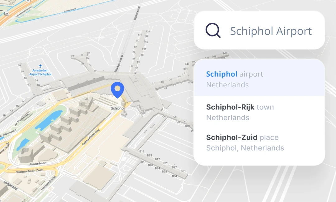
Let users find any place on Earth with a detailed geocoding API. Instantly turn searches into locations with rooftop precision.
Easy integration for web developers
Use a single library for maps and search; manage everything—service keys, billing, and accounts—in one place.
Clear, well-written documentation backed up by our expert support team if additional help is needed.

Works with your tech stack
Develop map apps with search using a single MapTiler SDK.
If your web app runs on popular JavaScript frameworks, utilize geocoding components for React & vanilla JS, or integrate with OpenLayers and Leaflet.
For advanced applications, build from scratch with a well-documented API.

Fast & reliable geocoding API
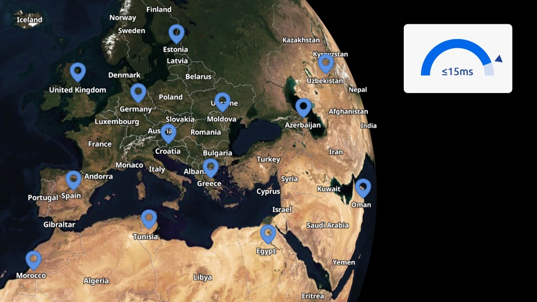
Get instant, accurate results from a globally distributed server network designed for speed, reliability, and stability.
95% of queries are processed in under 15ms, delivering lightning-fast responses worldwide.

Geocoding beyond the search field
Deliver the best search results:
- in the user's preferred language
- prioritize locations contextually
- restrict to specific countries
- reverse geocoding
- batch geocode for bulk address lookup
Global search, local precision
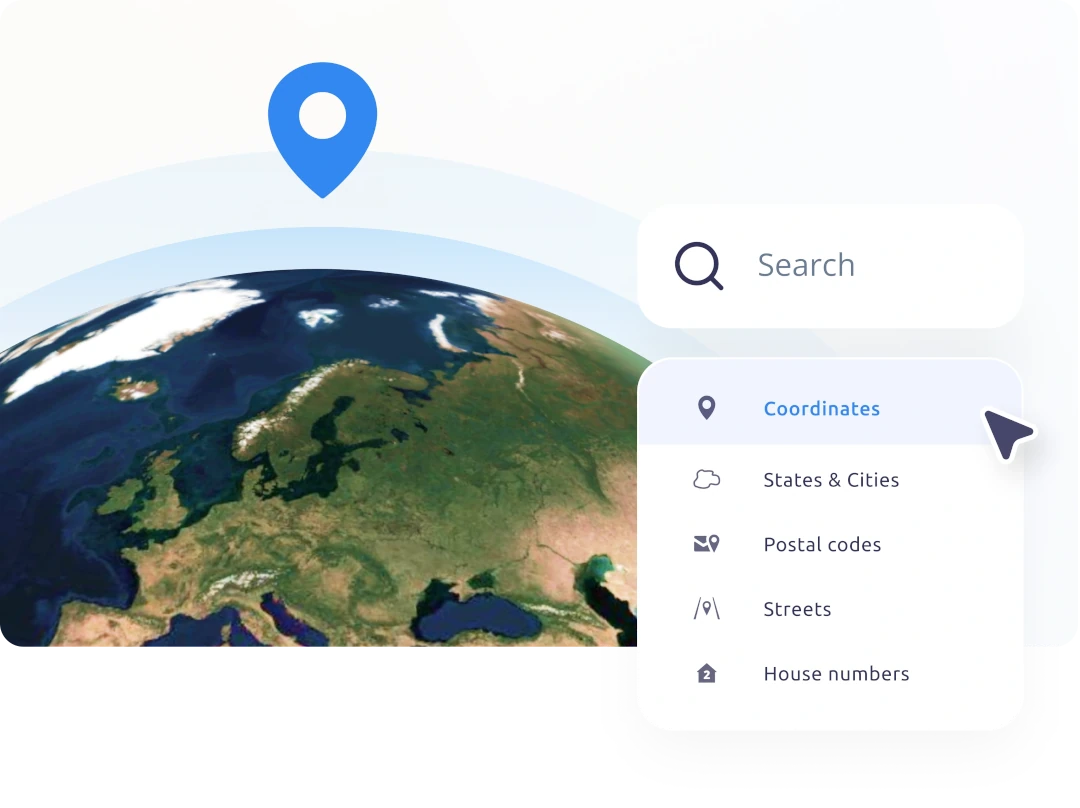
Find any location, from continents through countries, towns, neighborhoods, to exact addresses - and anything in between.
Search by postal codes, streets, or even rooftop-level points, all powered by accurate, up-to-date data. Our search engine combines global and local sources for the best results.
Quality local data
Get the most accurate address search and geocoding results with our ever-growing database of address points. New government and public data sources are regularly added to enhance coverage worldwide.
Try for free
Utilize the free tier in your non-commercial projects and testing or choose an enterprise plan for your business application. Enjoy clear, fair pricing with no surprises.

Geocoding is the process of converting human-readable location information—like addresses, place names, or postal codes—into geographic coordinates (consisting of latitude and longitude).
The API supports forward geocoding (searching for locations by name or address) and reverse geocoding (converting coordinates back into readable locations).
Additional features include result prioritization based on map view, language customization, region restriction, autocomplete suggestions, and batch geocoding.
Geocoding is commonly used in map-based applications, allowing users to search for locations (forward geocoding) or discover what is in a pointed area (reverse geocoding).
For example, an e-commerce site might use geocoding to show nearby pickup points, or a travel app might let users search for destinations and plan trips.
MapTiler Geocoding API supports more than 180 languages. This ensures that users receive search results in their local language or script whenever possible. The language can be set programmatically to tailor the experience based on the user’s preferences.
You can easily integrate the geocoding API using the MapTiler SDK, which works with JavaScript frameworks like React, Svelte, and vanilla JS. It’s also compatible with popular map libraries such as OpenLayers and Leaflet. For more advanced use cases, a direct API interface is available with detailed documentation and examples.
Yes, the API allows you to restrict results by country or even focus them around a specific geographic area. This improves accuracy and relevance for local or regional applications, such as national services or city-focused apps.
Yes, for most use cases, you are allowed to store the results of MapTiler geocoding permanently, including coordinates and associated metadata. This is particularly useful for batch geocoding. Refer to the terms of service for specific details and limitations.
Yes, batch geocoding is available to process large volumes of address data at once. This API is ideal for customer databases, logistics applications, or any scenario where thousands of addresses need to be converted into coordinates efficiently.
The geocoding API is part of Cloud. You need to have a free or paid plan; each HTTPS API call is counted as an individual request.
API keys, usage statistics, and billing are managed through a unified dashboard in Cloud, providing transparency and control over your costs.
MapTiler focuses on open data and transparency, blending high-quality global and local sources. The API is designed for fast performance, privacy-friendly usage, and flexibility with integration. It offers permanent result storage, broad language support, and a developer-friendly setup—all without vendor lock-in or opaque licensing.