Customize maps, upload or create own geodata and publish online
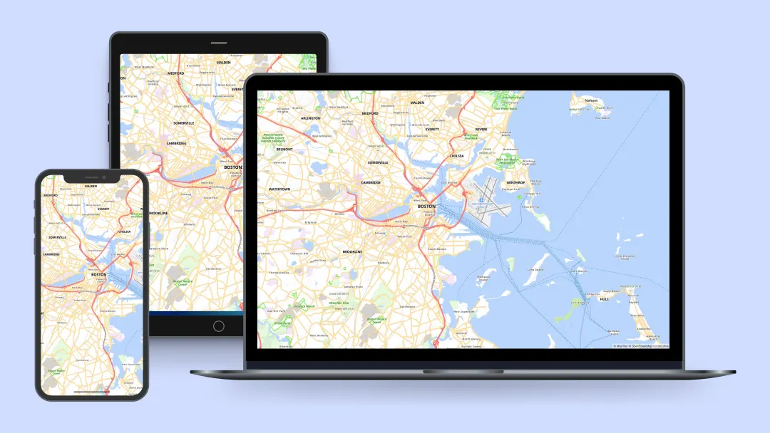
Design the perfect maps for your web and mobile apps.
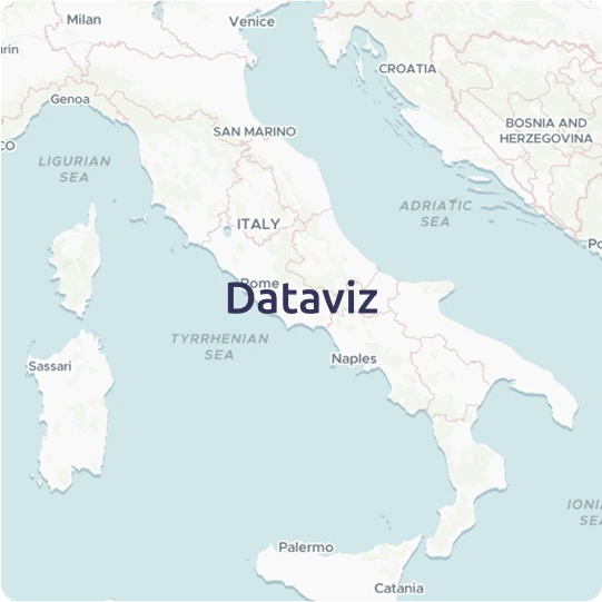
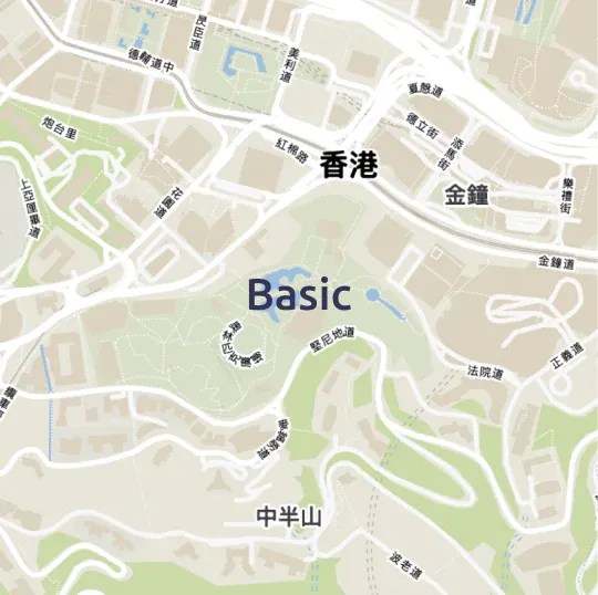
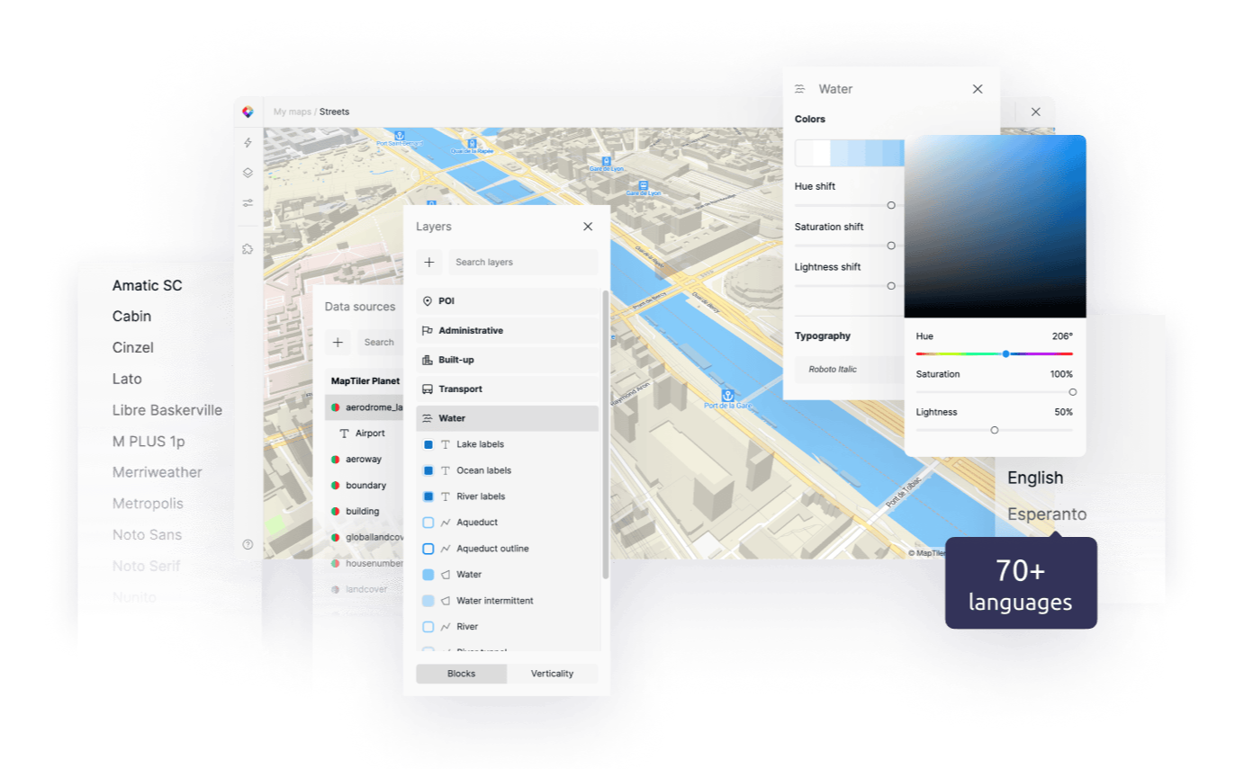
Switch language, change colors, and select fonts to match your brand.
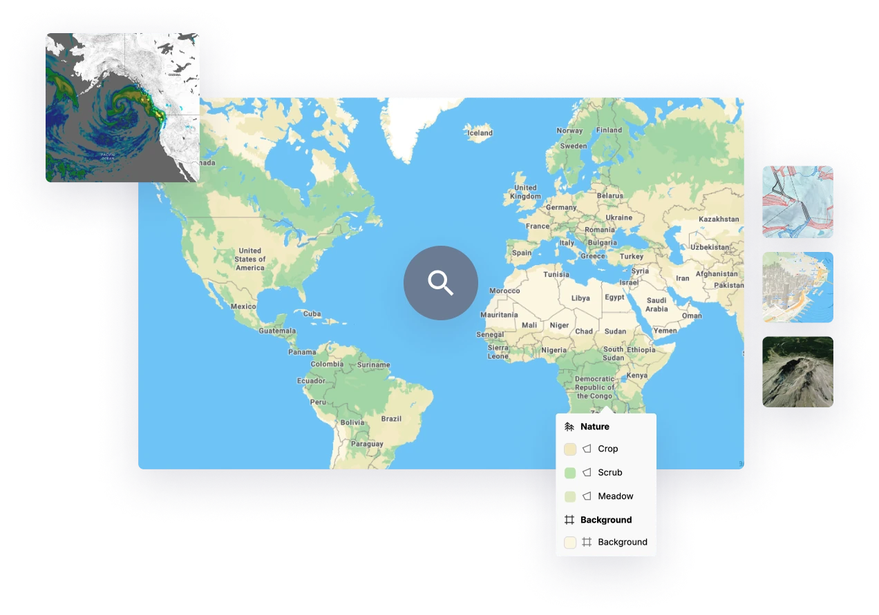
Publish your spatial data with no manual steps or setup required. Just drag and drop raster or vector files, or upload them via API.
Formats such as GeoTIFF, GeoJSON, and Shapefile are processed automatically and are ready to go live in a matter of moments.

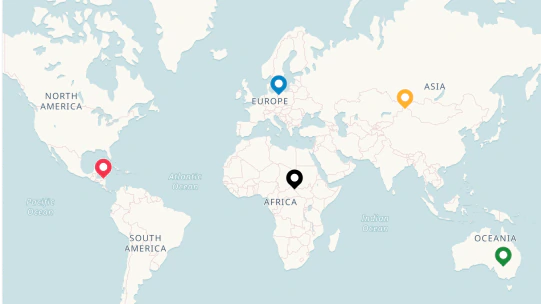
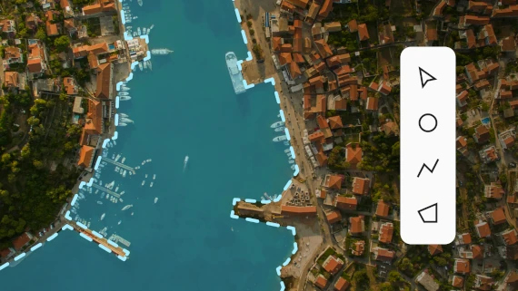
Add points, lines, & polygons and annotate in a few clicks.
Add directly to your map and use it on your web or mobile app via API.
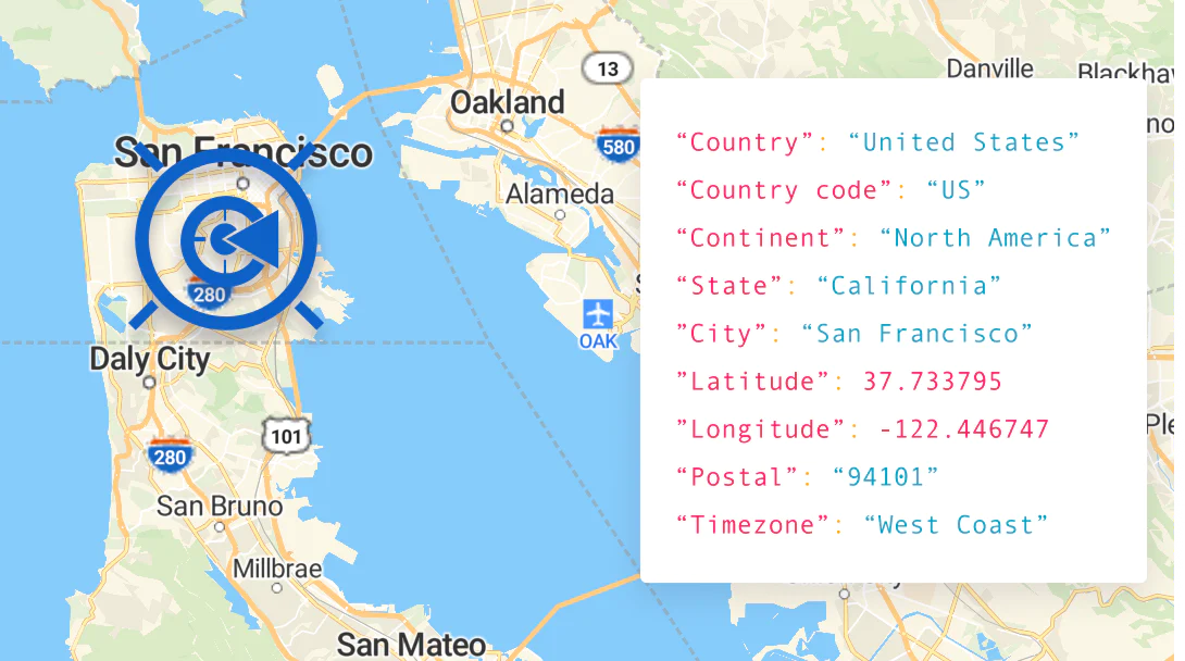
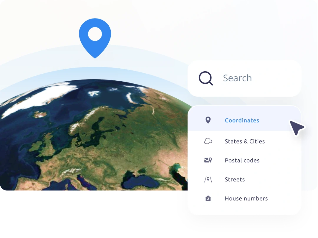
API for the transformation of place names and addresses to geographical coordinates and vice versa.
Find any place on Earth (states, cities, streets down to the address level etc.) or get a place name for your coordinates.
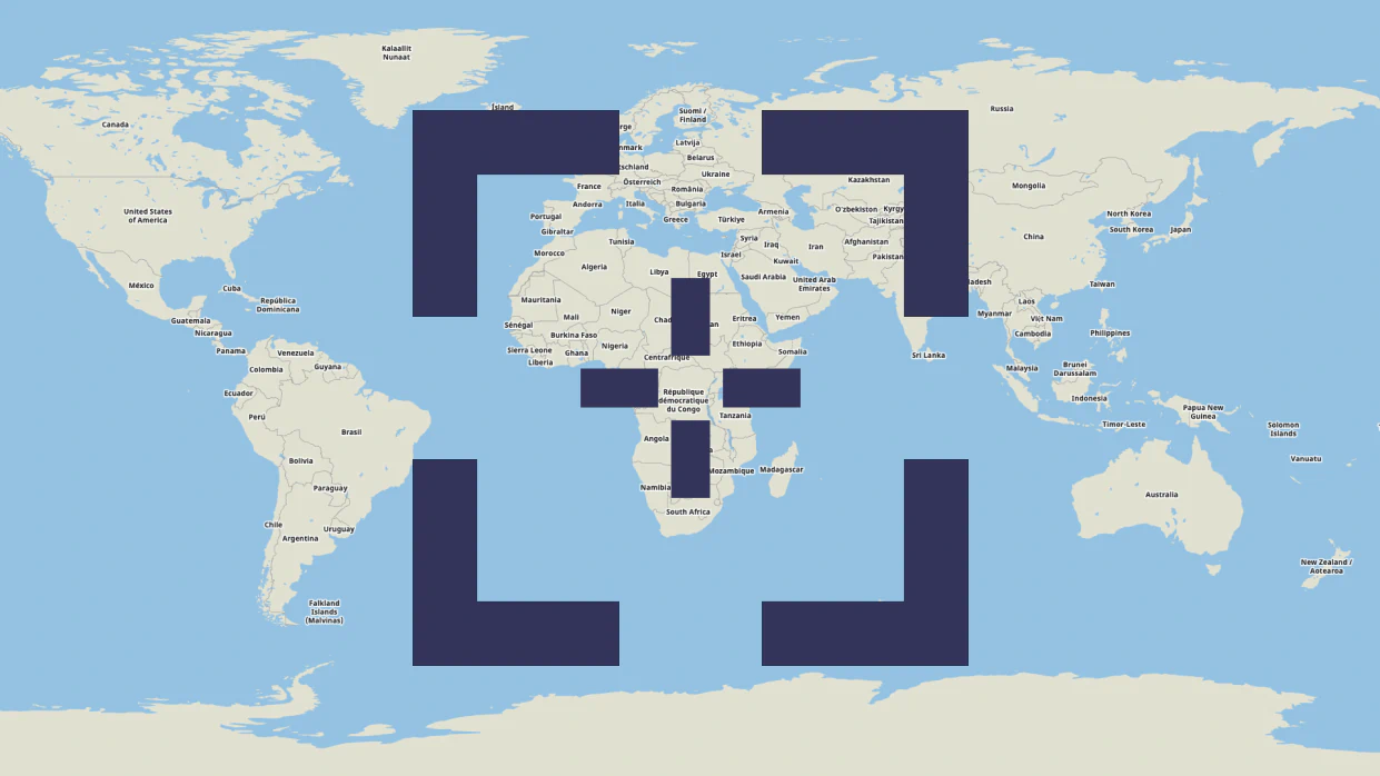
Display maps as static images to reduce load on your pages.
Use raster tiles with Leaflet, OpenLayers, or XYZ, vector tiles with MapTiler SDK, or WMTS for QGIS or ArcGIS.
Automate searching for EPSG codes and converting between coordinate systems via API.
Get information about your visitors location and serve content explicitly targeting them.
Free account for personal use and evaluation.
API documentation for developers.