Maps for outdoor activities
Terrain and contour map styles with hiking, biking, & skiing trails, all ready to use.
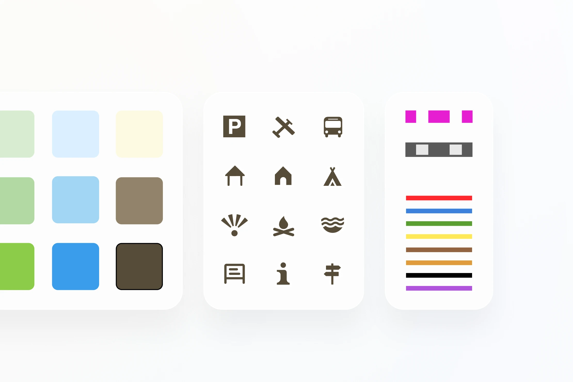
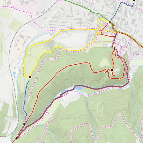
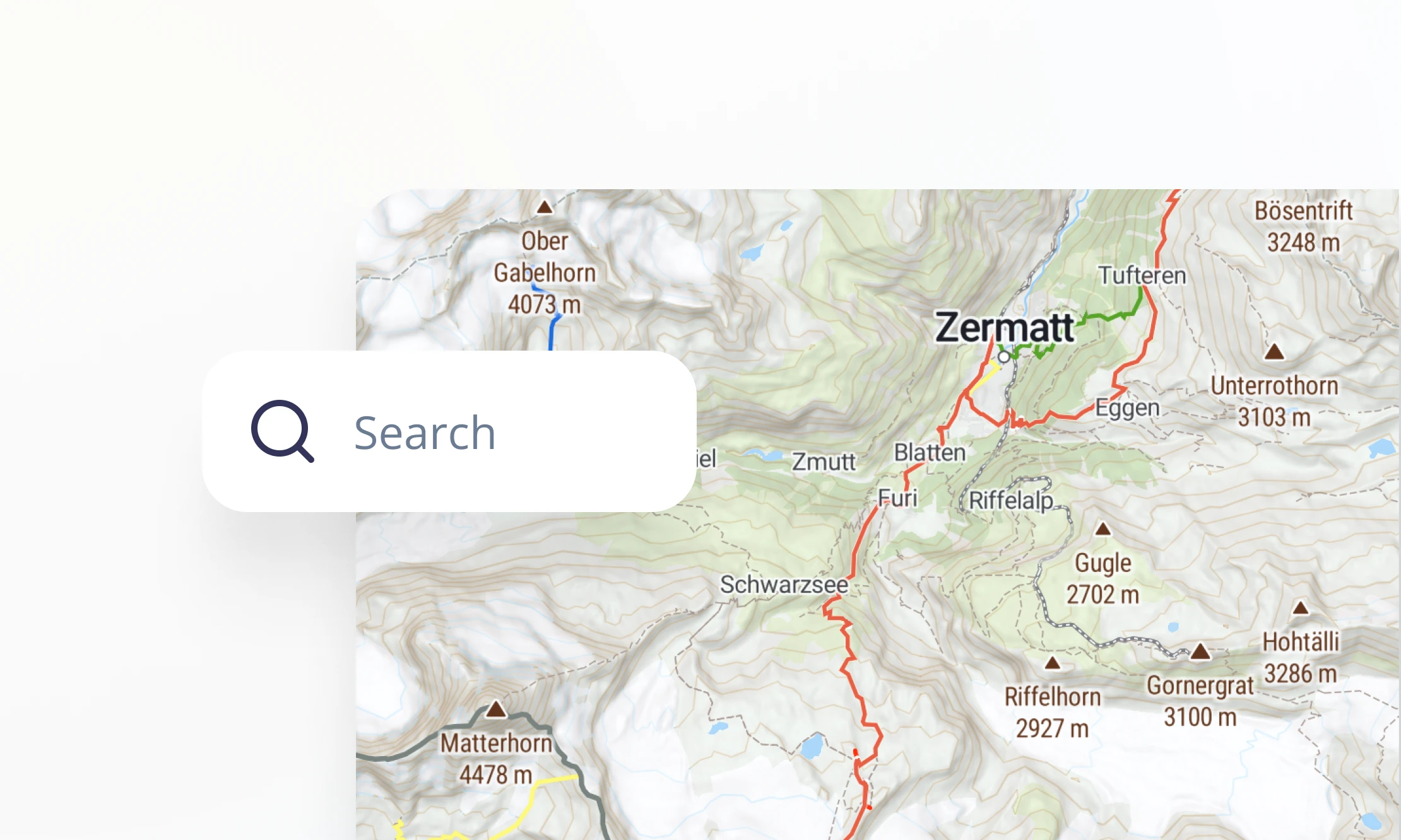
POIs & trails
Clear maps designed for outdoor activities, by experts with a passion for adventure. Get paths, trails, pistes, and landmarks for your maps and apps.
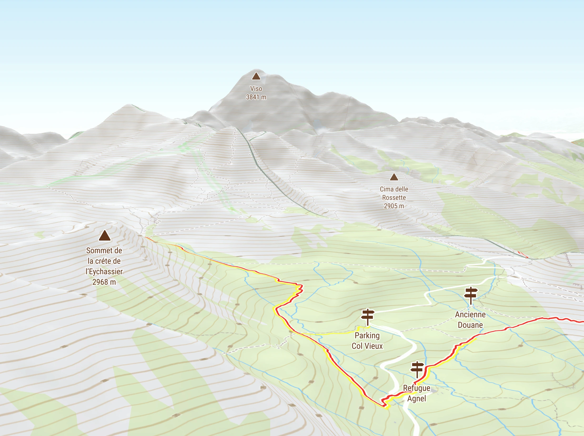
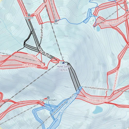
High-res terrain
Detailed terrain is shown clearly with contour lines (in meters or feet) and hill shading. Switch to 3D to see the landscape really come to life.
Fast loading
Lightweight vector tiles ensure high performance. Compact file sizes are perfect for downloading for offline use and embedding in devices.
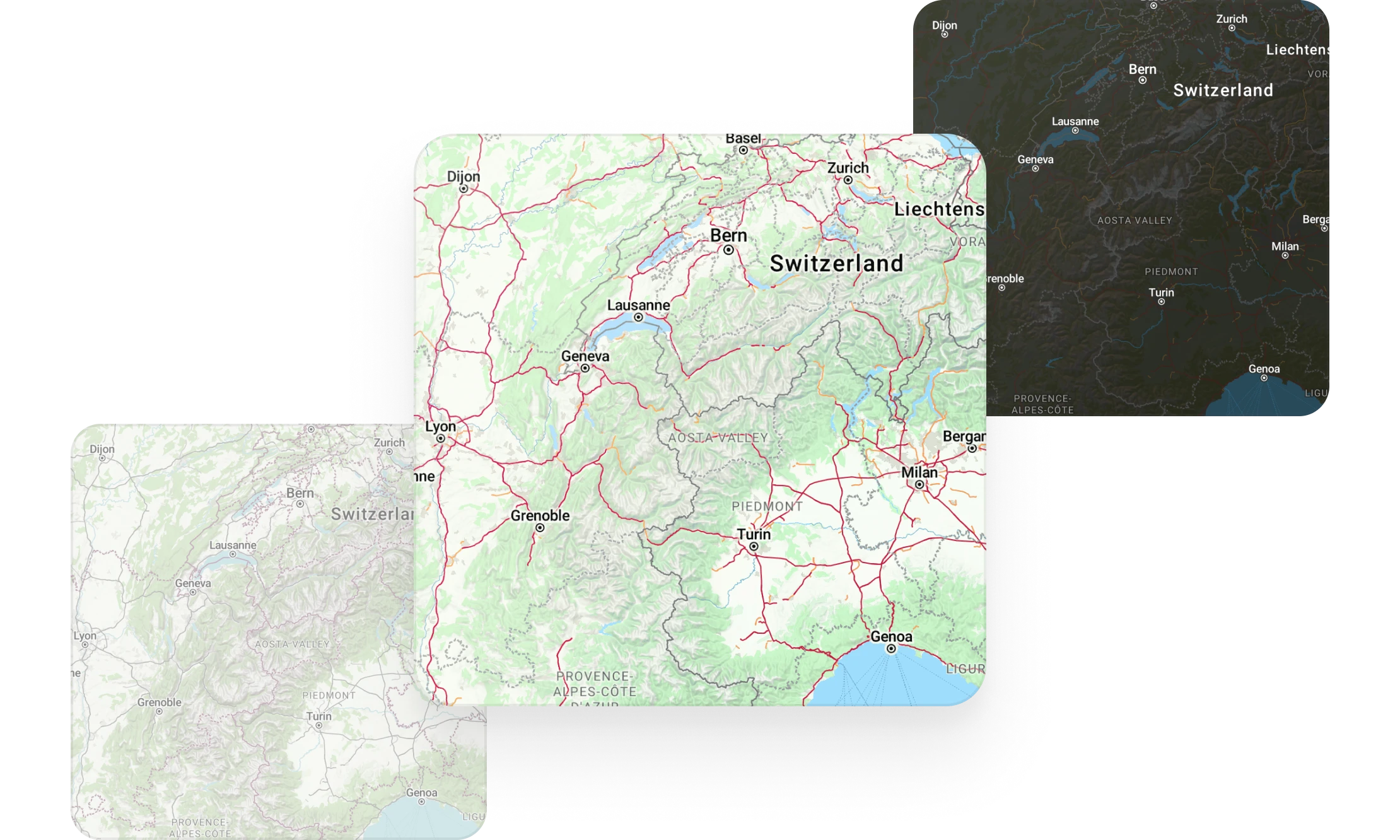
Wide style pallete
Choose from light, dark, and other color variants to fit your application or to match your users' preferences.
Add interactive controls
Build interactive maps with our SDK:
- Add clickable markers for features on the map
- View mountains in Augmented Reality
- Create elevation profiles for hiking routes

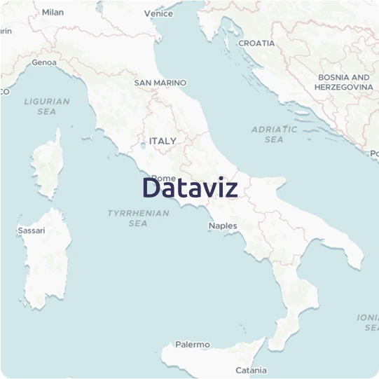
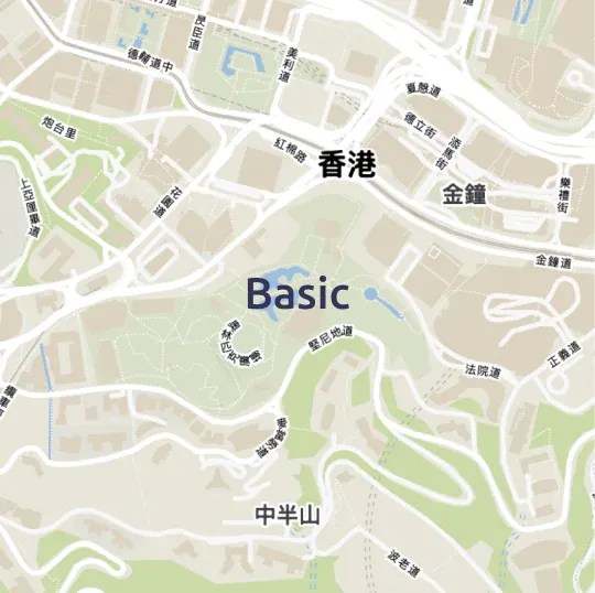
Enrich with powerful search
Let your users find locations like major mountain peaks and lakes. Search for:
- Major landforms, regions, and subregions
- Points of Interest
- Any address or postal code
Available as


Raster tiles
Leaflet, OpenLayers, XYZ

Map services
WMTS and OGC Tiles API for QGIS or ArcGIS

Static maps
Image for thumbnails
Publish anywhere
Use maps on your website and apps, either from our cloud or your on-prem solution.